Heavy Rain over American Samoa
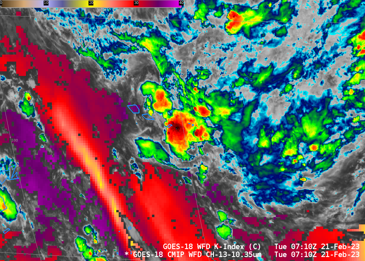
Heavy Rains overspread the Samoan Islands late on 20 February/early on 21 February 2023. ASCAT scatterometry from 0845 UTC on 21 February, above, (from this website), shows strong northerly winds Equatorward of the Samoan Islands, and weaker winds to the south: surface convergence is indicated. The animation below shows GOES-18 Visible imagery... Read More
