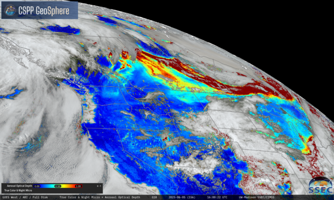
Active Monsoon trough over the western Pacific
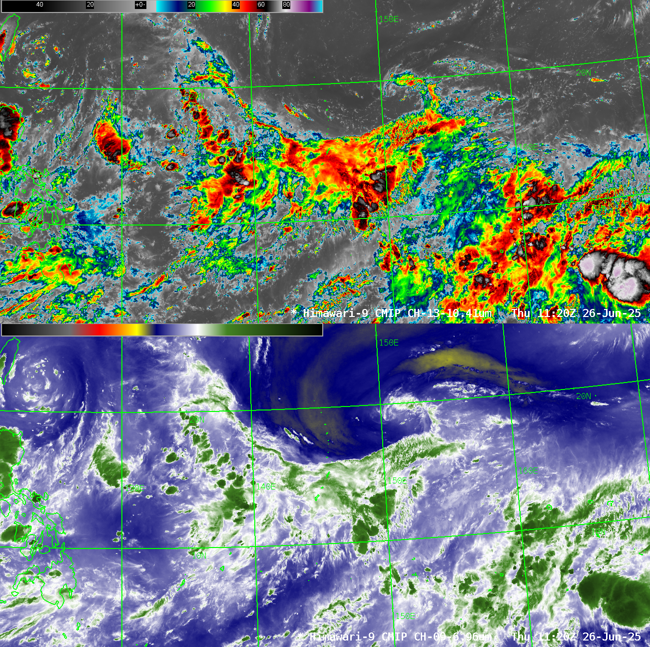
Total Precipitable Water (TPW) fields across the western Pacific (source), show a band of abundant moisture between 10o and 20o N latitude. In addition, the remnants of Sepat are moving to the north and east of Japan, and a tropical depression is making landfall over China to the north of Hainan... Read More