Kincade Fire grows as Diablo Winds incease
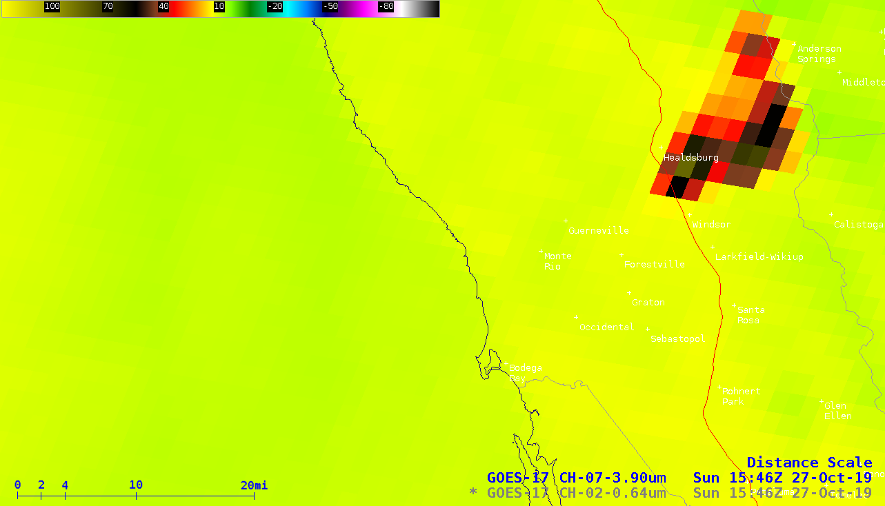
1-minute Mesoscale Domain Sector GOES-17 (GOES-West) Shortwave Infrared (3.9 µm) and “Red” Visible (0.64 µm) images (above) showed a wind-driven increase in areal coverage and smoke production from the Kincade Fire in Northern California on 27 October 2019. The fire made a rapid southwestward run of approximately 10 miles toward Highway 101 (plotted in red), as Diablo Winds... Read More
