SAR data over American Samoa, part VII

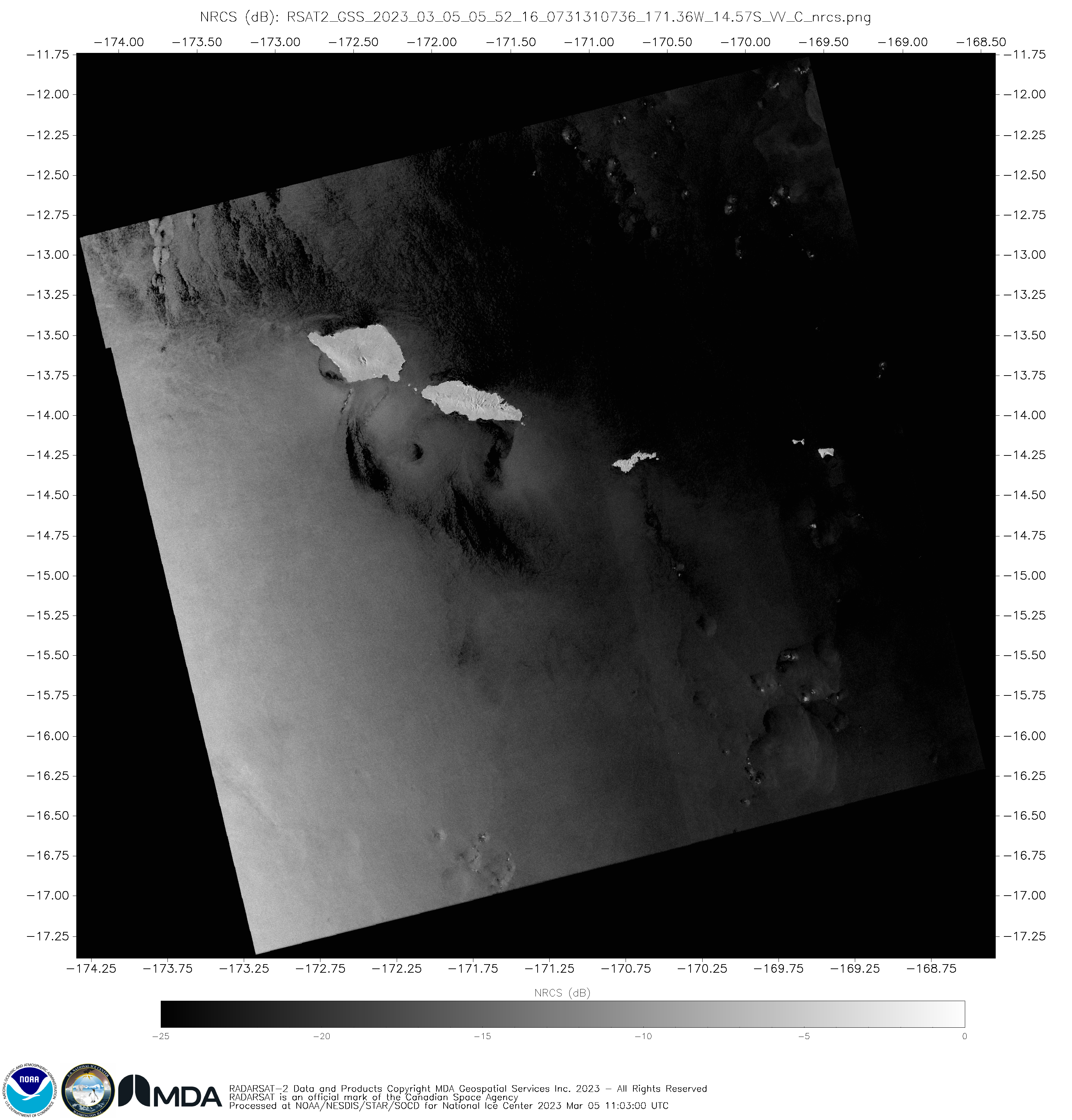
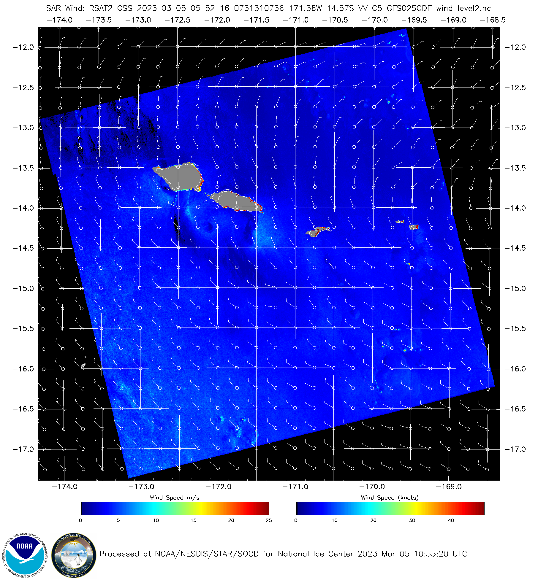
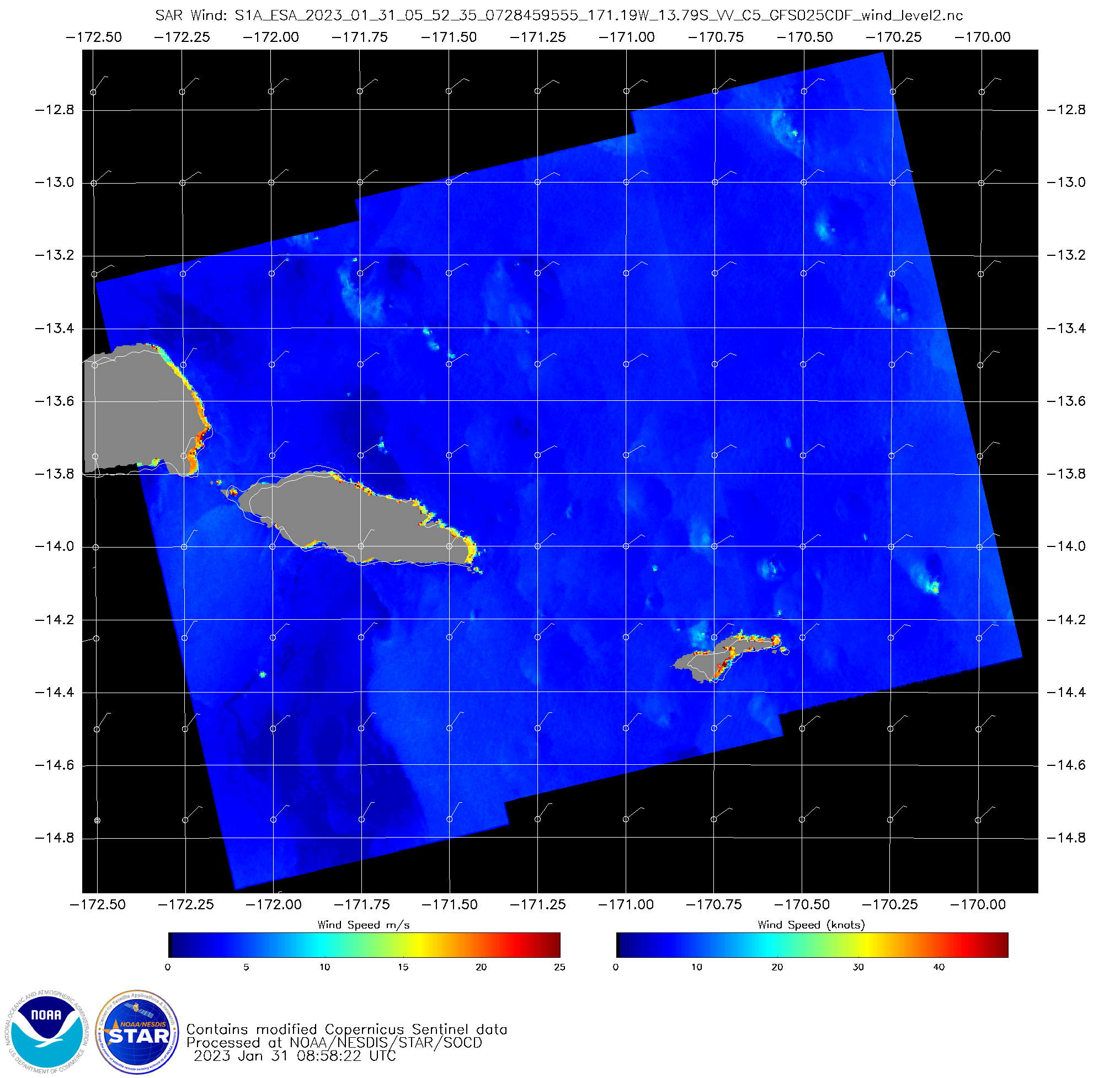
RADARSAT-2 overflew the Samoan Islands shortly after sunset on 4 March 2023, as shown above. The NRCS and derived wind fields show light winds over the entire region. The toggle below show Metop-B and Metop-C ASCAT winds between 0800 and 1000 UTC on 5 March. Those instruments also detect light winds.MIMIC Total Precipitable water fields, below,... Read More
