This website works best with a newer web browser such as Chrome, Firefox, Safari or Microsoft Edge. Internet Explorer is not supported by this website.

Category: Meteosat

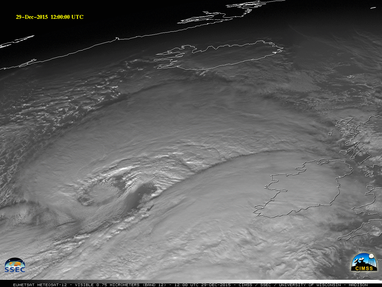
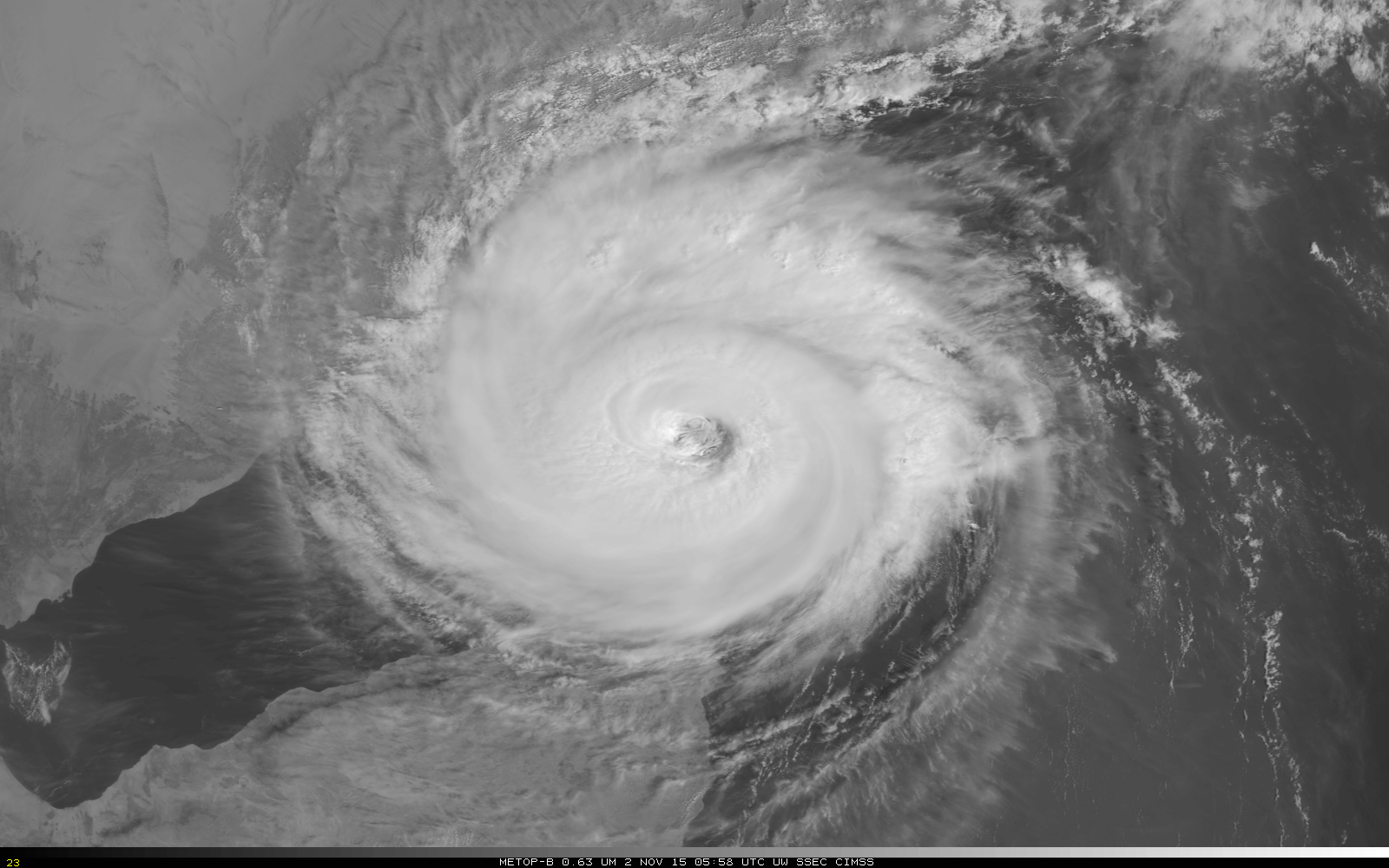
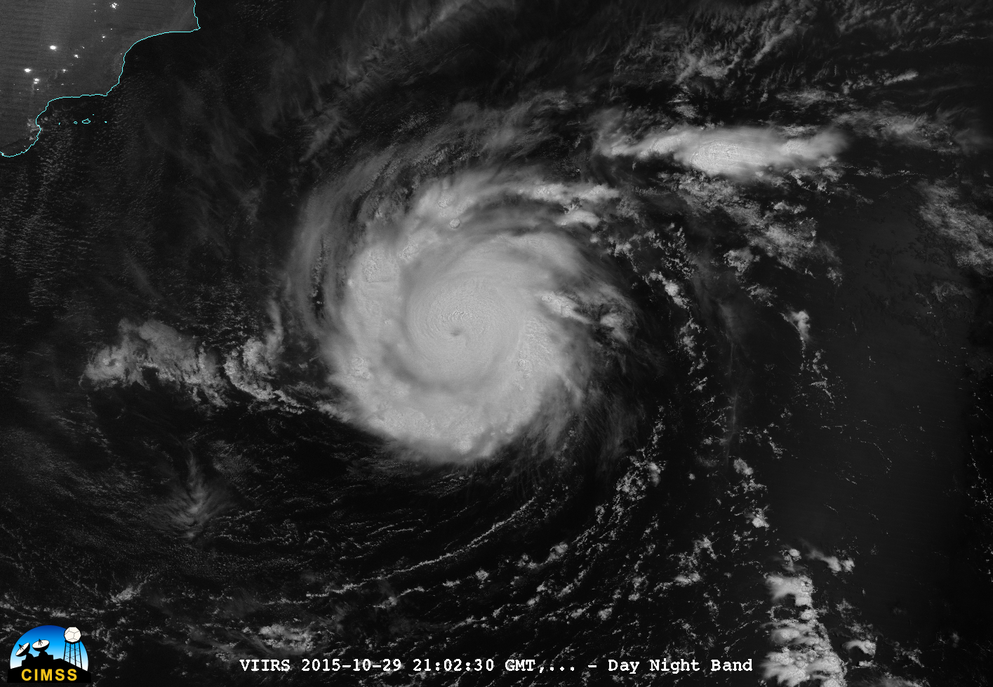
Cyclone Fantala in the Indian Ocean

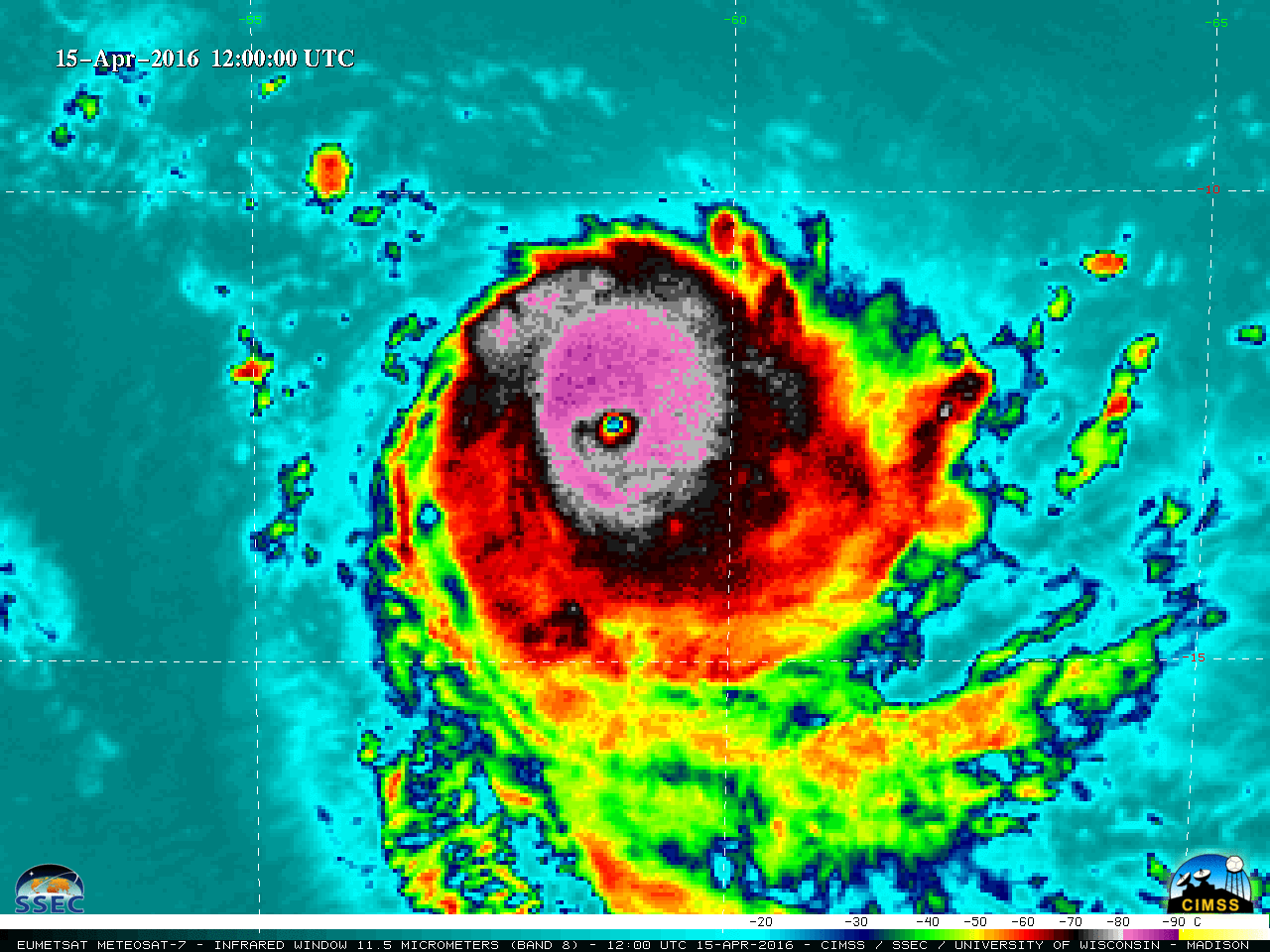
A plot of the Advanced Dvorak Technique (ADT) hurricane intensity estimate (above) revealed that Indian Ocean Cyclone Fantala (19S) exhibited a period of rapid intensification on 15 April 2016, reaching Category 4 intensity with maximum sustained winds of 135 knots at 14 UTC.EUMETSAT Meteosat-7 Infrared Window (11.5 µm) images (below) showed the... Read More

Cyclone Chapala approaches Yemen

Cyclone Chapala continued its unusual approach towards Yemen on the southwestern edge of the Arabian Peninsula. Early on 2 November, the storm has passed just north of the Island of Socotra and entered the Gulf of Aden. METOP-B overflew the storm at ~0615 UTC on 2 November; Visible and Infrared... Read More

Cyclone Chapala in the Arabian Sea

Tropical Cyclone Chapala is poised to make an unusual landfall on the Arabian Penisula over the weekend. The Suomi NPP VIIRS Day Night Band Imagery (courtesy William Straka, SSEC/CIMSS), above, from 2102 UTC on 29 October, shows a compact storm with curved bands of strong convection around an apparent eye.... Read More