Significant Flooding in Northeast Australia
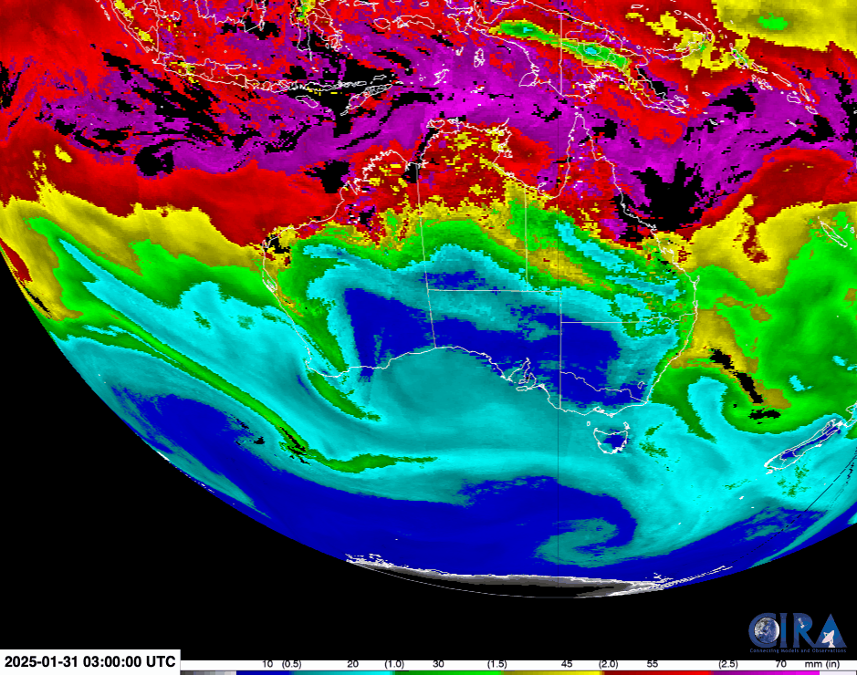
The past few days have brought devastating rain and flooding to the Australian state of Queensland, in the country’s northeast. The community of Paluma received more than 1.4 meters (4.5 feet) of rain over the weekend, and damage to roads and bridges carried out by the torrents of water have... Read More

