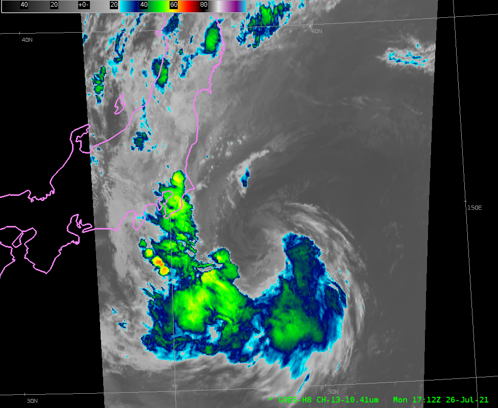
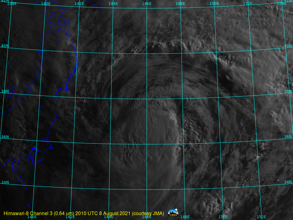
This website works best with a newer web browser such as Chrome, Firefox, Safari or Microsoft Edge. Internet Explorer is not supported by this website.

Category: Himawari-8

SAR winds near Tropical Storm Nepartak

RADARSAT Constellation Mission One (RCM1) passed over Nepartak at 0828 UTC on 27 July 2021, and the image above shows the Synthetic Aperture Radar (SAR) winds derived at that time. There is a widespread region of ~40-knot winds (cyan to green in the color enhancement), a bit stronger than the... Read More

Tropical Storm Nepartak approaches Japan

As the games of the 2021 Olympics progress, a weakening Tropical Storm Nepartak is moving over coastal waters to the east of Honshu, the main island of Japan. The Total Precipitable Water imagery, above, from MIMIC TPW, shows a plume of moisture wrapped around the circulation center. Himawari-8 Clean Window... Read More

Blowing dust across Mongolia and China

JMA Himawari-8 Dust RGB images (created using Geo2Grid) covering the 48-hour period from 21 UTC on 04 May to 21 UTC on 06 May 2021 (above) revealed multiple plumes of blowing dust (brighter shades magenta/pink) which originated over parts of Mongolia — and were then transported southeastward and eastward across northeastern China.Surface... Read More