This website works best with a newer web browser such as Chrome, Firefox, Safari or Microsoft Edge. Internet Explorer is not supported by this website.

Category: GOES-R

Typhoon Champi

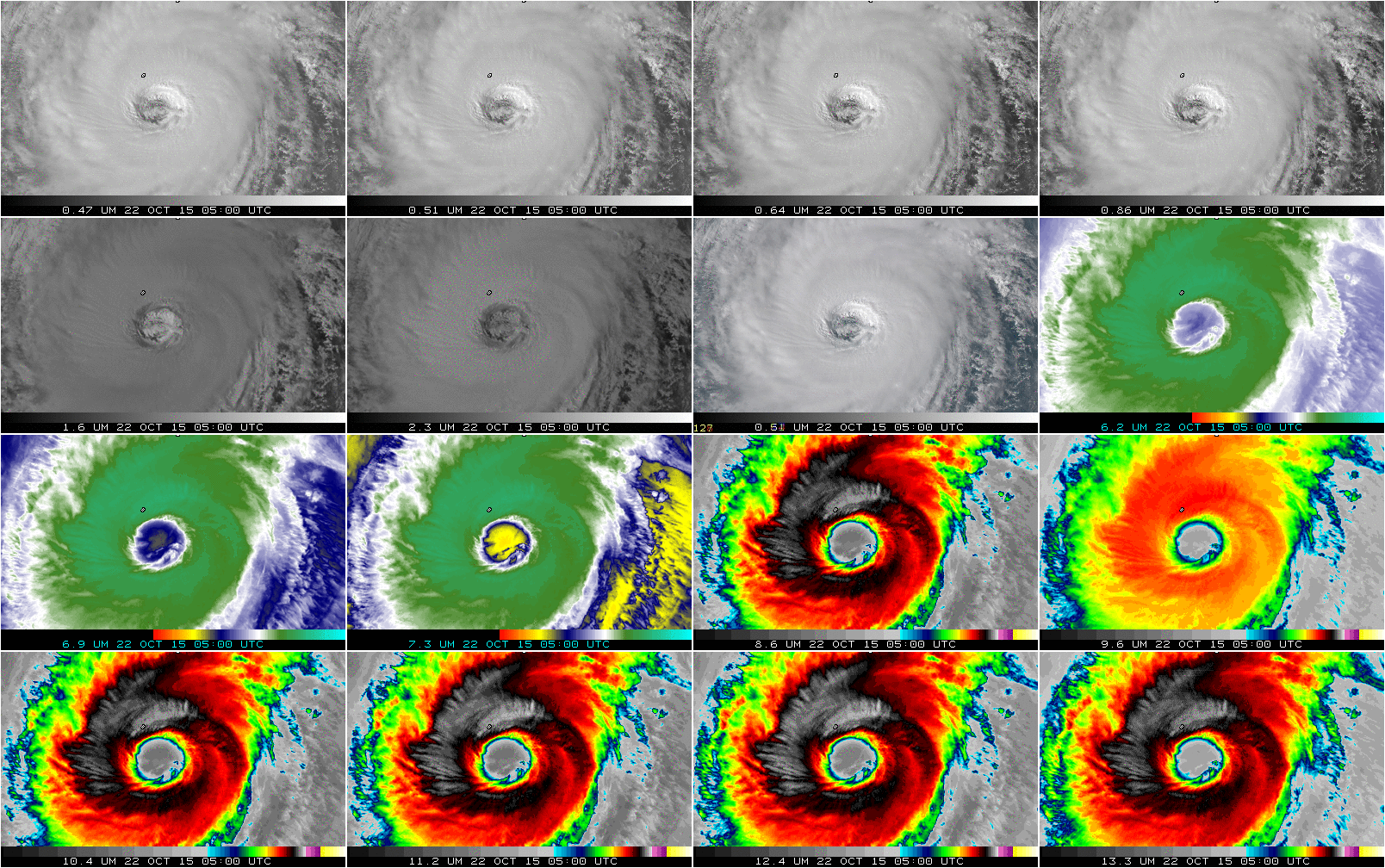
Himawari-8 viewed Typhoon Champi in the North Pacific on 22 October 2015, as shown above. The storm was near peak intensity during this animation, as indicated by the graphs of satellite maximum wind speed and minimum surface pressure shown below (taken from this website). The eye (abnormally large for a Typhoon!)... Read More

Typhoon Koppu hits the Philippines

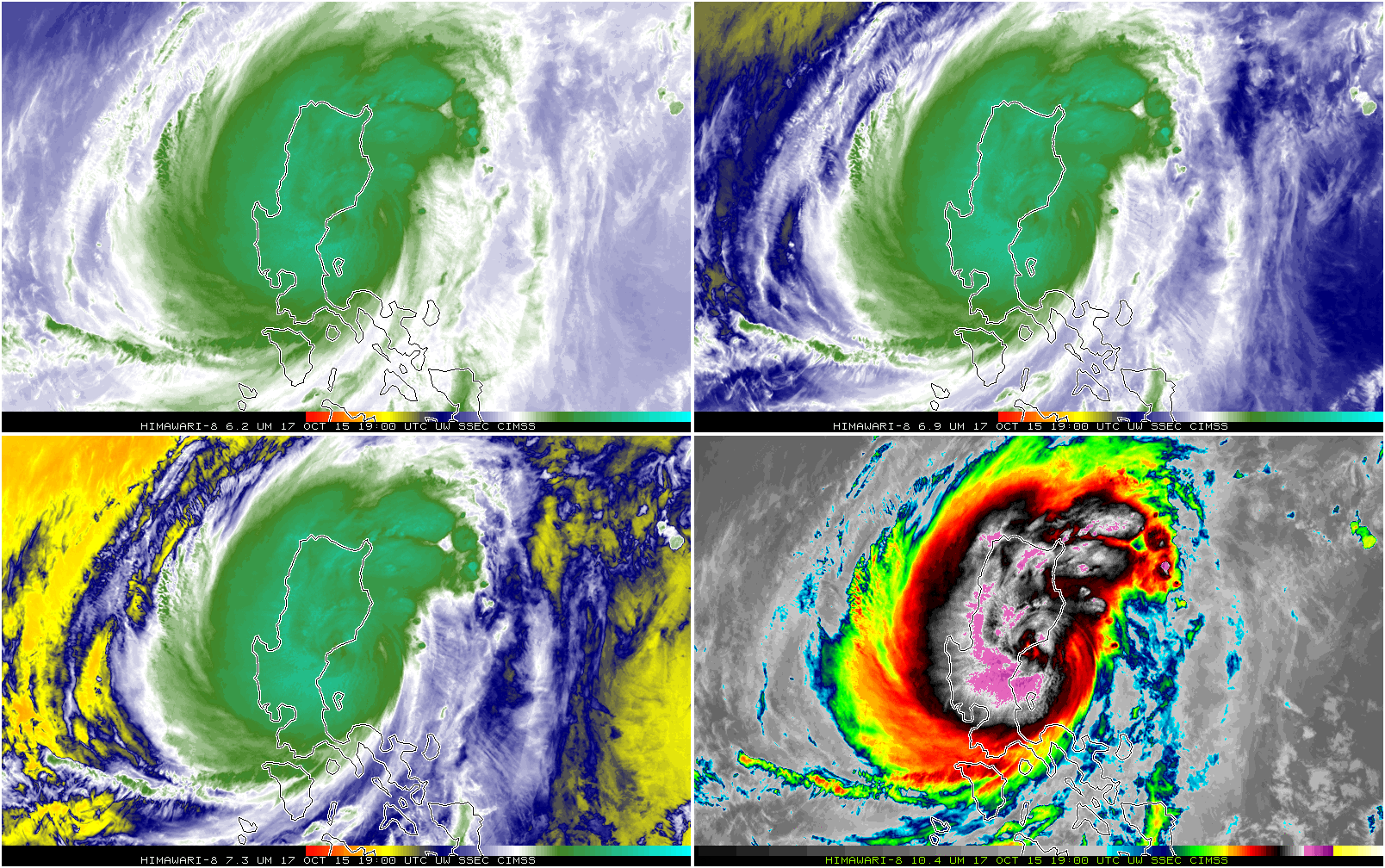
Typhoon Koppu hit the northern Philippines island of Luzon on Saturday 18 October. The 4-panel mp4 animation above (Click here for an animated gif) shows the 3 water vapor infrared channels (6.2 µm, 6.9 µm and 7.3 µm) and the window infrared channel (10.35 µm) from the Himawari-8 satellite. There... Read More

GOES-14 SRSO-R: central Montana wildfire

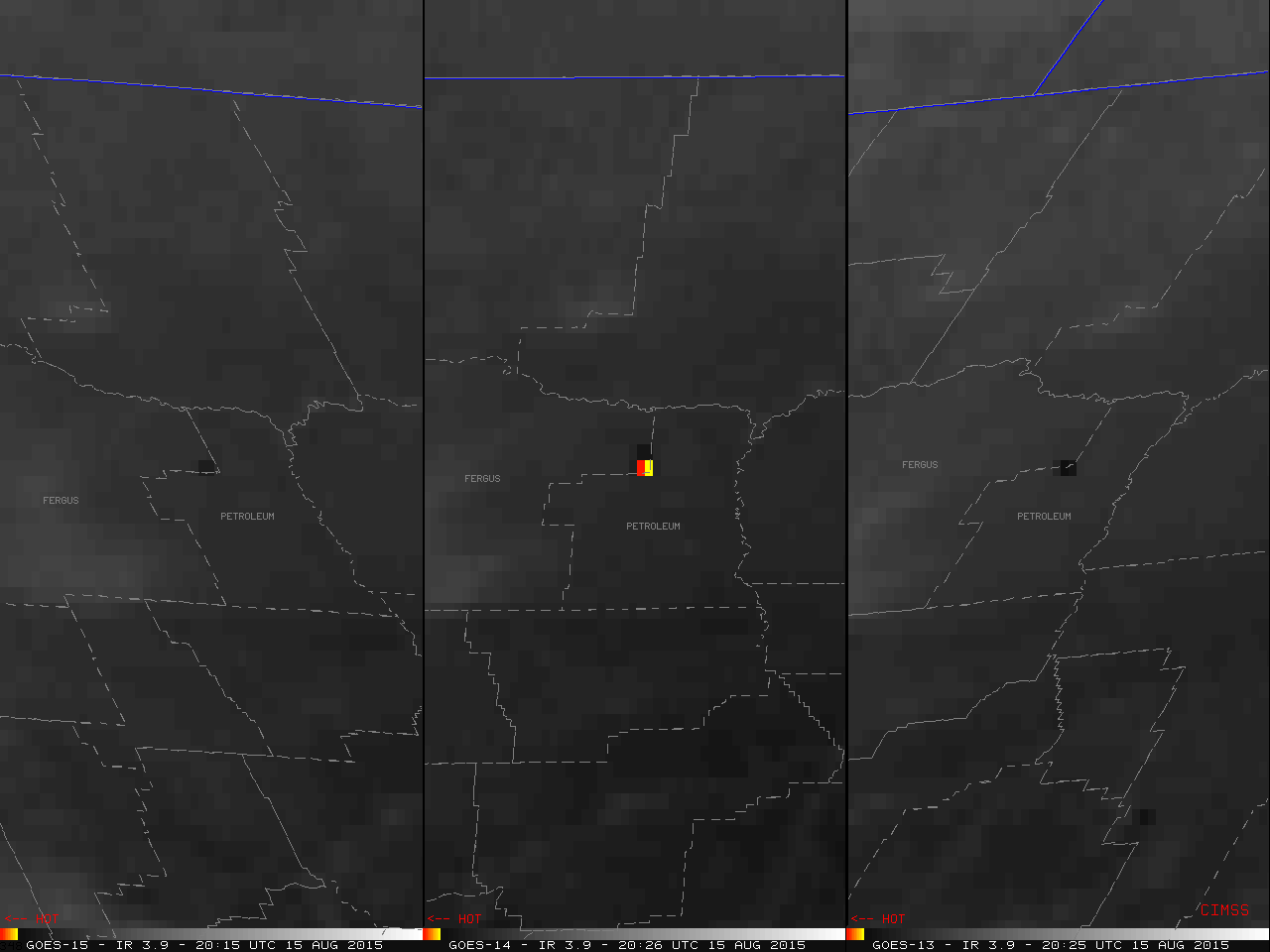
A comparison of 4-km resolution GOES-15 (GOES-West), GOES-14, and GOES-13 (GOES-East) 3.9 µm shortwave infrared images (above; click to play MP4 animation; also available as a 9.4 Mbyte animated GIF) showed the development and evolution of the “hot spot” (dark black to yellow to red color enhancement) associated with a small... Read More

GOES-14 in SRSO-R Mode

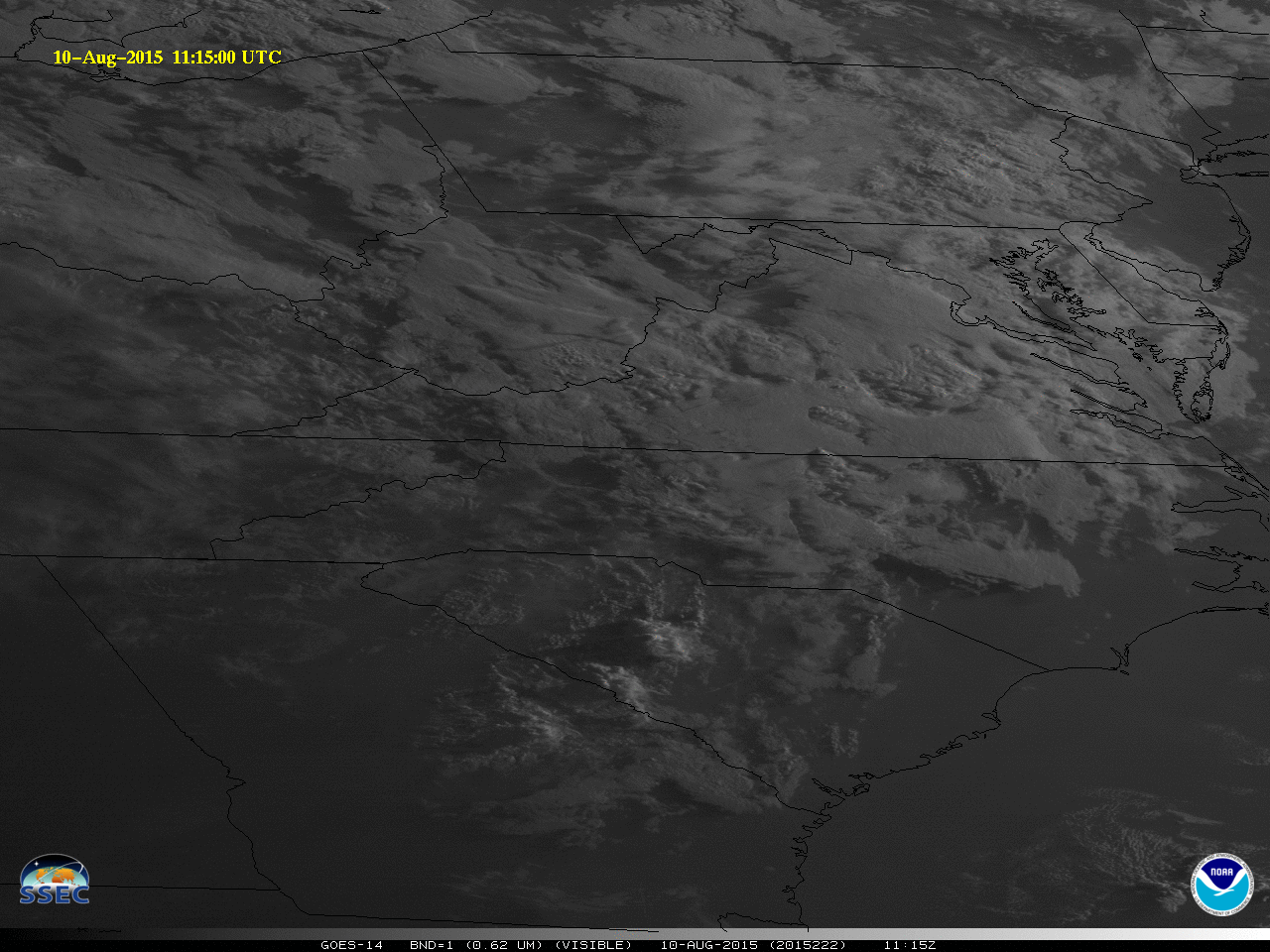
GOES-14 is again in SRSO-R (Super Rapid Scan Operations for GOES-R) mode, affording the opportunity for 1-minute imagery over select regions of the United States. Information on the daily activity is available here; SRSO-R will continue through 21 August and serves as a reminder of the kind of routine scanning... Read More