Using Level 2 Products to understand Cloud Patterns
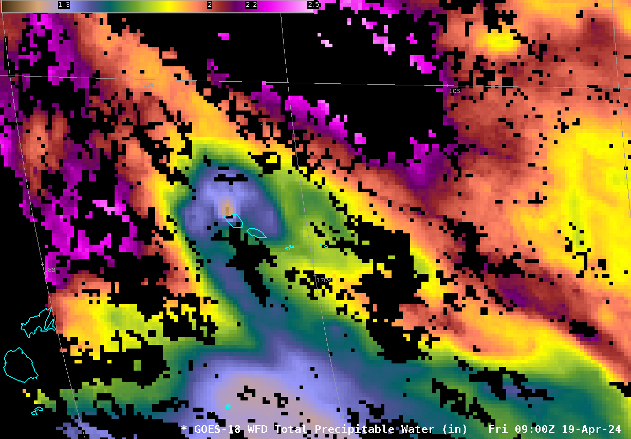
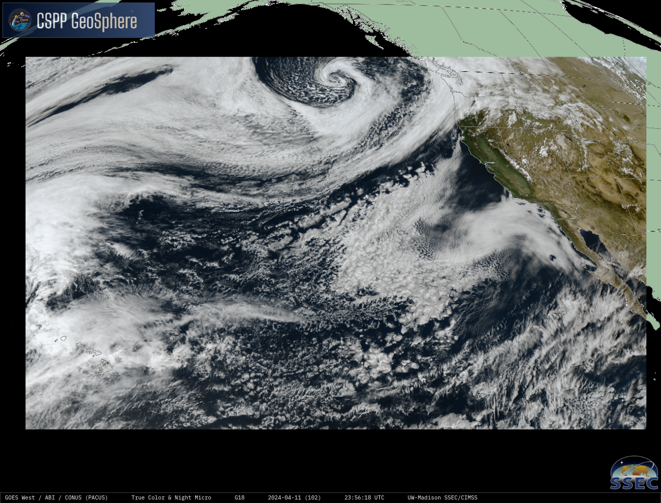
The animation below from the CSPP Geosphere website (direct link to animation) shows regions of low clouds, some of which develop in the vertical, and some of which do not (see annotated image underneath the animation). Is there a product that can be used to discriminate between these two regions?GOES-18 Total Precipitable Water fields,... Read More
