This website works best with a newer web browser such as Chrome, Firefox, Safari or Microsoft Edge. Internet Explorer is not supported by this website.

Category: GOES-16

Severe thunderstorms in Kansas, Oklahoma and Texas

1-minute Mesoscale Domain Sector GOES-16 (GOES-East) “Red” Visible (0.64 µm) images (above) included time-matched (+/- 3 minutes) plots of SPC Storm Reports — which showed severe thunderstorms that moved eastward and southeastward across parts of Kansas, Oklahoma and Texas on 19 September 2023.1-minute GOES-16 “Clean” Infrared Window (10.3 µm) images (below) indicated that the coldest pulsing overshooting tops associated many of the... Read More

Post-Tropical Cyclone Lee makes landfall in Nova Scotia

11 hours of 1-minute Mesoscale Domain Sector GOES-16 (GOES-East) “Red” Visible (0.64 µm) images (above) showed Post-Tropical Cyclone Lee as it approached Atlantic Canada and Maine on 16 September 2023. PTC Lee made landfall in far western Nova Scotia around 2000 UTC, and produced strong winds and heavy rainfall across much of Maine.A longer animation of 5-minute CONUS Sector GOES-16 Air Mass RGB images (below) portrayed the large size... Read More

Pyrocumulonimbus clouds produced by wildfires in British Columbia and Alberta

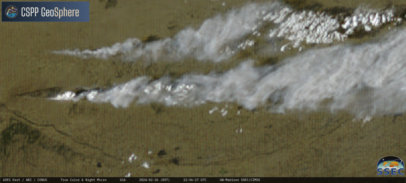
10-minute GOES-18 (GOES-West) “Red” Visible (0.64 µm) + Fire Power derived product (a component of the GOES Fire Detection and Characterization Algorithm FDCA), Shortwave Infrared (3.9 µm), “Clean” Infrared Window (10.3 µm) and Day Land Cloud Fire RGB images (above) showed a wildfire east of Fort Nelson (CYYE) in far northeastern British Columbia that produced 3 consecutive pyrocumulonimbus (pyroCb) cloud pulses late... Read More

Turbulence over New England caused by Lee

Hurricane Lee, moving northward off the east coast of the United States, is generating a large cirrus shield (see the ABI Band 4 image below) at high levels over New England, as also shown in the Air mass RGB shown above. The corrugated features in the cirrus are well-known predictors... Read More