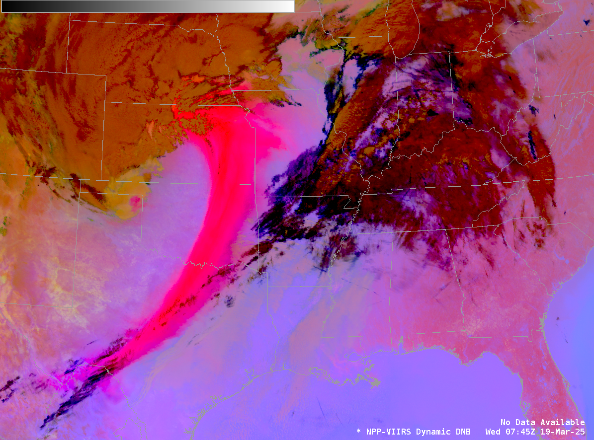
Day Cloud Phase Distinction and Snow Bands
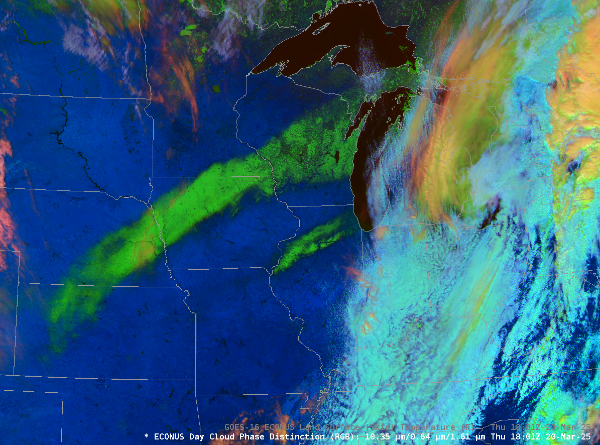
The Slider above compares the Day Cloud Phase Distinction RGB over the central United States with the derived Land Surface Temperature (LST), an hourly Level-2 product. Two snow bands over the central United States are a characteristic bright green in the RGB because there are minimal contributions there in the red and blue.... Read More