Another dusty storm in the midwest
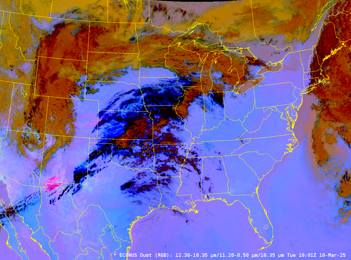
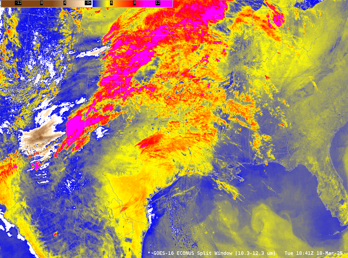
An active weather pattern has produced another strong storm over the Great Plains of the United States on 18-19 March, and another dust storm. Dust RGB Imagery, above, shows the evolution of the dust plume (in magenta/pink in the RGB) from Mexico into the western Great Lakes. The pink occurs because of a strong contribution from the Split Window Difference (10.3 µm – 12.3 µm) imagery (Quick Guide); an animation of that is here, the dust is brown in the animation. The Split Window Difference is also the Red component of the Night Microphysics RGB (Quick Guide), so that RGB can also give a view of Dust Plumes at night (as shown in this blog post).
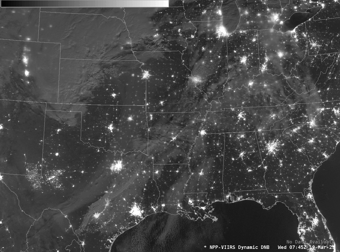
VIIRS has a Day Night Band that can be used to detect dust plumes (or smoke plumes) at night, given sufficient lunar illumination. In the 0745 UTC Day Night Band image below, toggled with the GOES-based Dust RGB (one could also compute a Dust RGB image from VIIRS data!), the dust cloud is a apparent from central Texas northward through eastern Oklahoma and eastern Kansas.
Geosphere imagery, below, from 18 March, shows the beginnings of the dust plume near El Paso TX. GOES-16 Aerosol Optical Depth is also plotted in clear skies. El Paso had 1/2-mile visibility due to dust and wind gusts exceeding 50 mph during the afternoon on 18 March.
________________
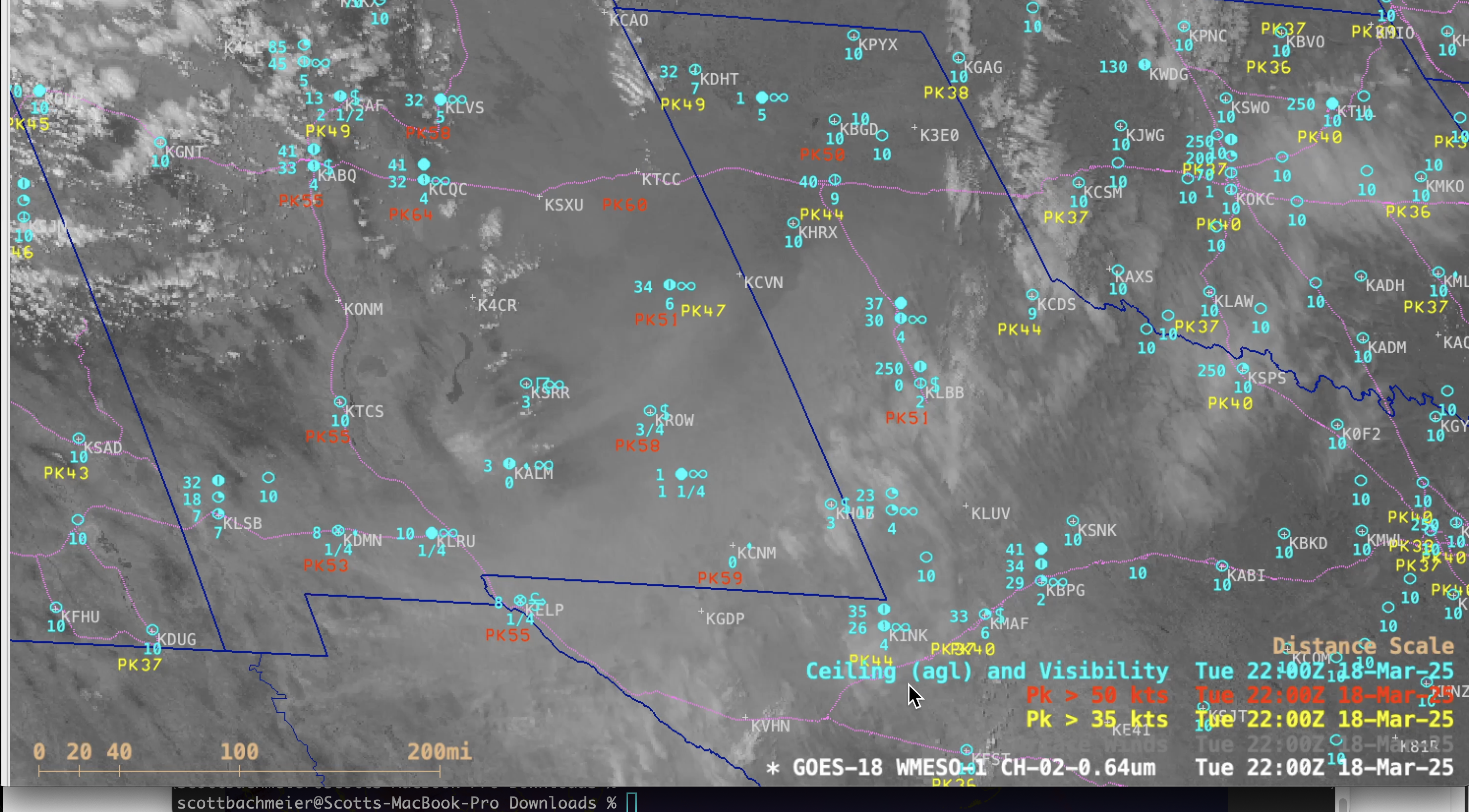
1-minute GOES-18 Visible images with 30-minute plots of Peak Wind Gusts (yellow/red) and hourly plots of Ceiling/Visibility (cyan), from 1501 UTC on 18 March to 0030 UTC on 19 March (courtesy Scott Bachmeier, CIMSS) [click to play MP4 animation]
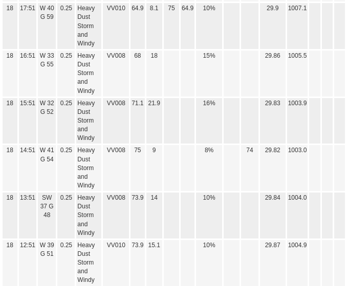
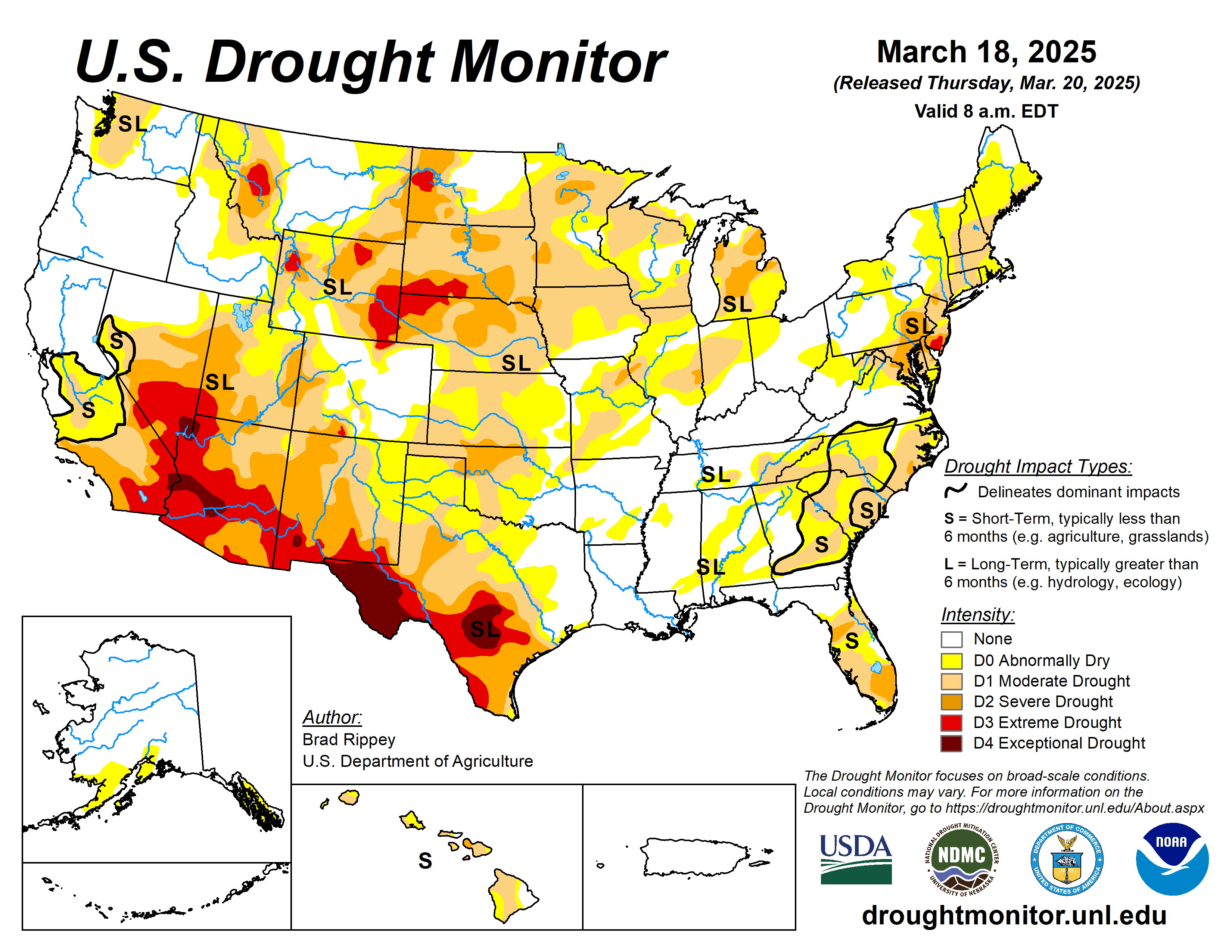
1-minute Mesoscale Domain Sector GOES-18 (GOES-West) Visible images (above) included plots of 30-minute Peak Wind Gusts and hourly Ceiling/Visibility — which showed Peak Wind Gusts as high as 65 kts (75 mph) at METAR sites Roswell, New Mexico (KROW) and El Paso, Texas (KELP), although there were wind gusts to 101 mph at higher elevations (these strong winds in tandem with severe to exceptional drought conditions were conducive to create such a pronounced blowing dust event). The surface visibility was reduced to 1/4 mile (or even near zero) at several sites from El Paso to southern New Mexico.
10-minute Full Disk scan True Color RGB and nighttime Dust RGB images from GOES-18 (GOES-West), GOES-19 (Preliminary/Non-operational) and GOES-16 (GOES-East) created using Geo2Grid (below) displayed distinct signatures of the dense blowing dust that originated over parts of northern Mexico and southern New Mexico — and was subsequently transported northeastward across parts of Texas, Oklahoma and Kansas during the 15-hour period shown. There was also a notable plume of blowing dust/sand whose source was White Sands National Park in southern New Mexico. In addition, of interest was a small circular pocket of dust that became entrained into the center of low pressure that was located near the Colorado/Kansas/Oklahoma border at 0600 UTC.

True Color RGB and nighttime Dust RGB images from GOES-18 (left), GOES-19 (Preliminary/Non-operational, center) and GOES-16 (right), from 1500 UTC on 18 March to 0600 UTC on 19 March (courtesy Scott Bachmeier, CIMSS) [click to play animated GIF | MP4]