This website works best with a newer web browser such as Chrome, Firefox, Safari or Microsoft Edge. Internet Explorer is not supported by this website.

Category: GOES-13

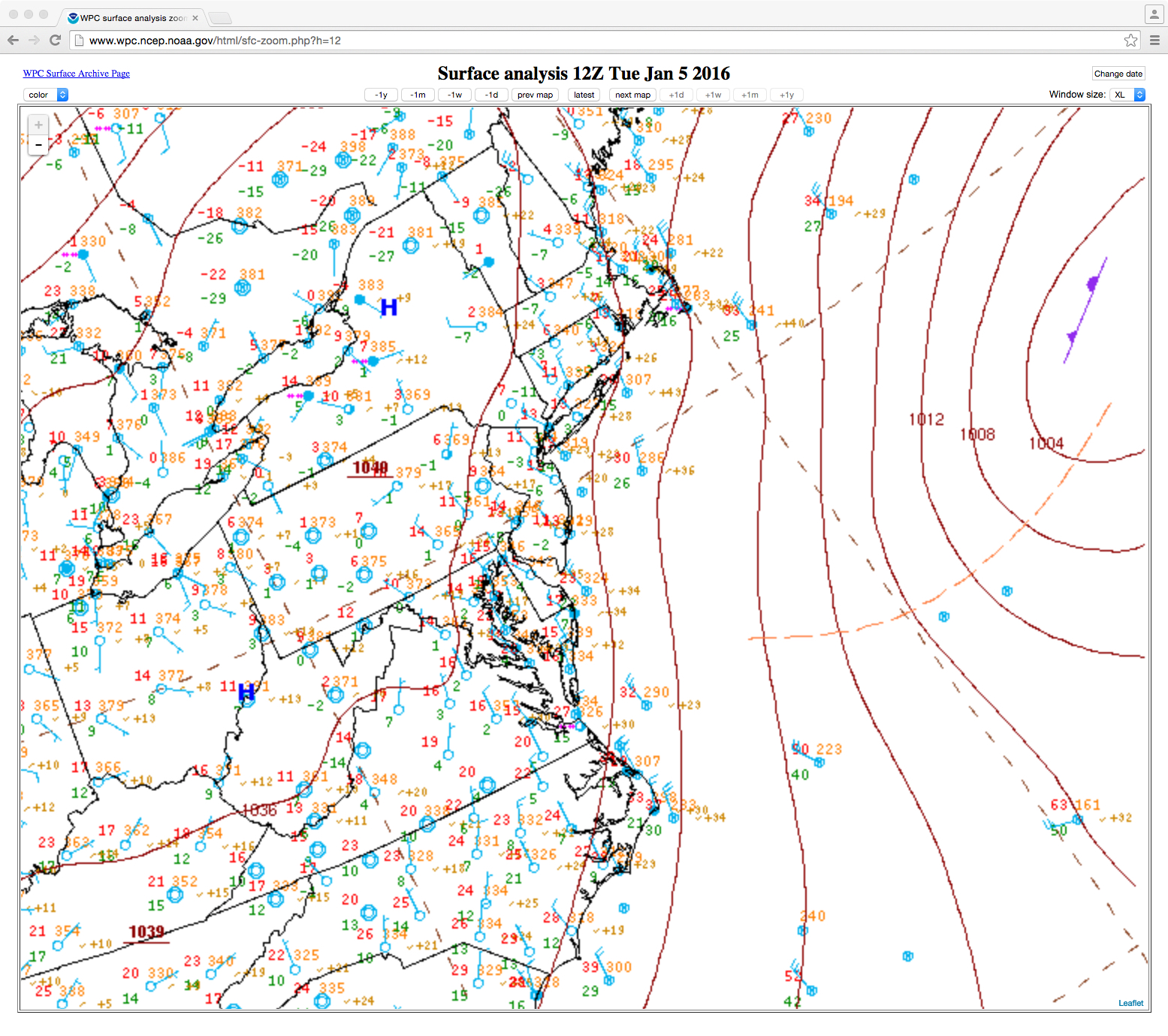
The Genesis for the Coming East Coast Storm

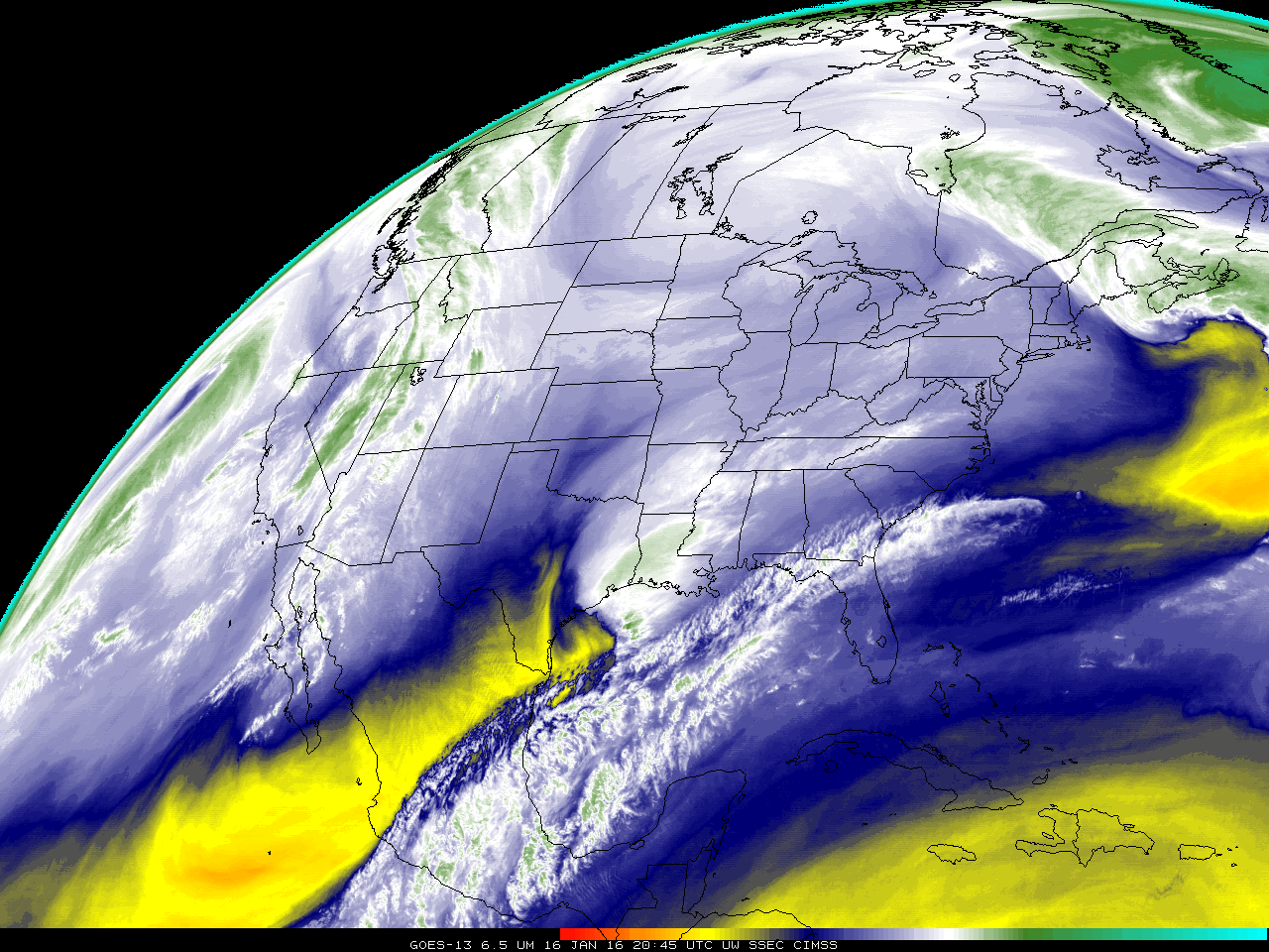
When strong storms appear in Forecast Models, it is tempting to trace back in the atmosphere where the system originates. The water vapor animation above, from GOES-13, ends with the future East Coast Storm developing over the lower Mississippi River Valley (where it produced severe weather). The rocking animation, below, shows... Read More

Hurricane Alex

Subtropical Storm Alex (NHC advisory archive) formed in the far eastern Atlantic Ocean on 13 January 2016. Animations of GOES-13 (GOES-East) 0.63 µm Visible (above) and 10.7 µm Infrared images (below) showed the initial evolution and northeastward motion of the storm. Alex is only the 4th known January tropical or subtropical storm... Read More

GOES Water Vapor Animations for 2015

The GOES-13 and GOES-15 Imager provides routine observations at five wavelengths, including 6.5 µm, a wavelength that is sensitive to water vapor absorption (SHyMet lesson). The YouTube animations below show full-disk GOES-13 (GOES-East) and GOES-15 (GOES-West) water vapor images at 3-hour intervals for every day during 2015. GOES-15 shows the remarkable... Read More