Potential Tropical Cyclone 9 intensifies to become Tropical Storm Isaias
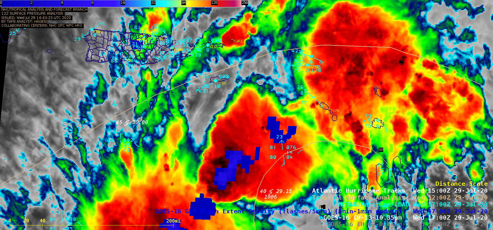
1-minute Mesoscale Domain Sector GOES-16 (GOES-East) “Red” Visible (0.64 µm) and “Clean” Infrared Window (10.35 µm) images (above) showed Potential Tropical Cyclone Nine as it moved northwestward across the Caribbean Sea on 29 July 2020. In Puerto Rico, Luis Muñoz Marin Airport in San Juan (TJSJ) had a wind gust to 44 knots (51 mph) around 19 UTC. Numerous pulsing... Read More

