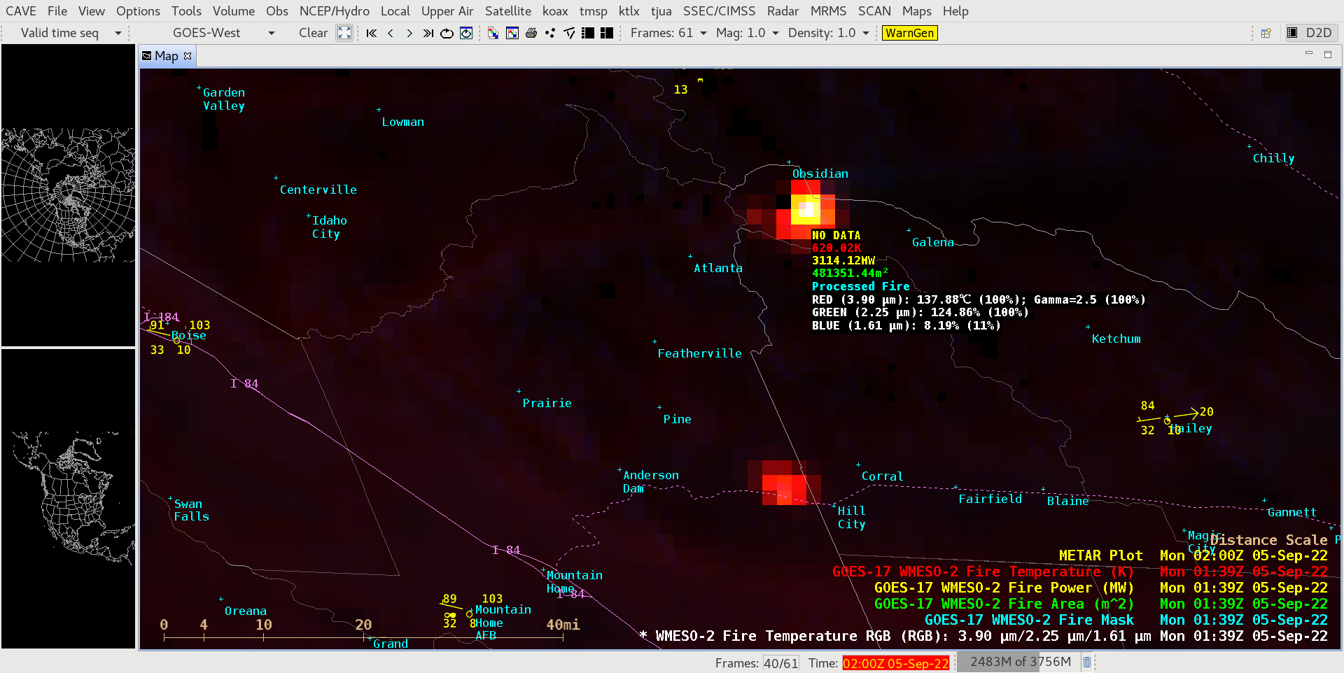
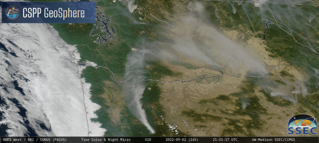
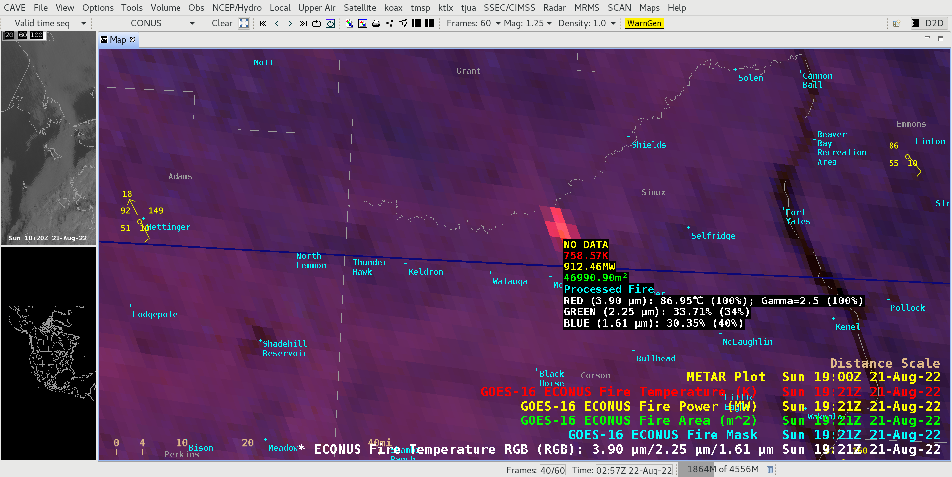
Pyrocumulonimbus clouds in Oregon, Idaho and California
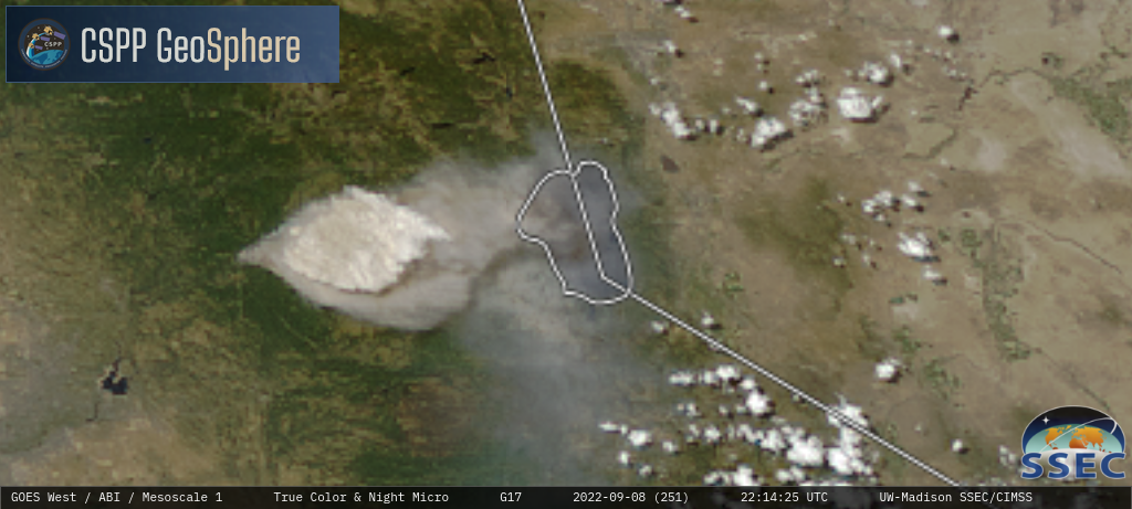
An extended period of hot temperatures across much of the western US — where drought conditions were widespread — helped set the stage for large wildfires which produced several pyrocumulonimbus (pyroCb) clouds in parts of Oregon, Idaho and California during the 07-10 September 2022 period.===== 07 September =====GOES-18 (GOES-West) Day Land Cloud Fire RGB images... Read More
