This website works best with a newer web browser such as Chrome, Firefox, Safari or Microsoft Edge. Internet Explorer is not supported by this website.

Category: EWS-G1

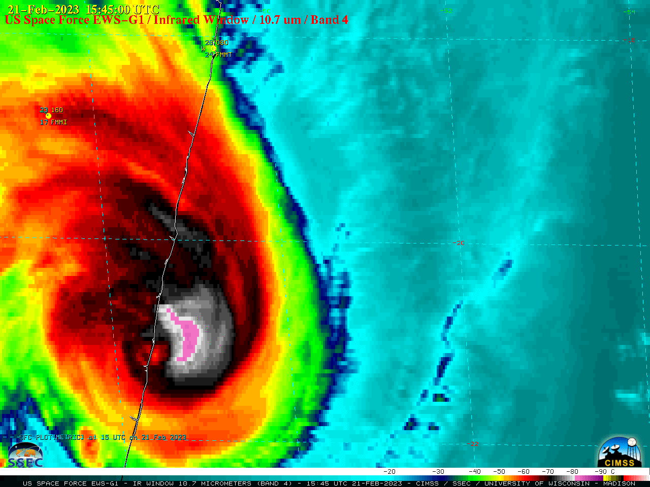
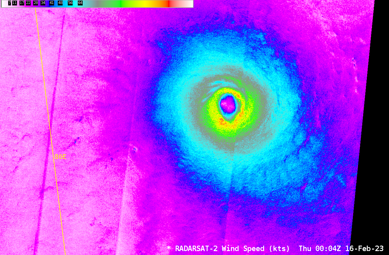
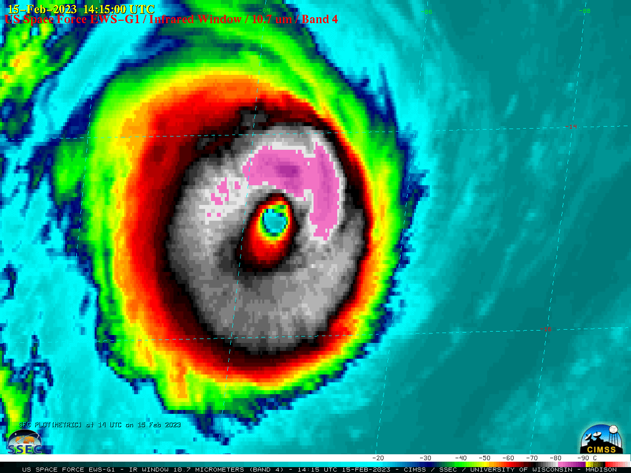
Cyclone Freddy intensifies to a Category 5 storm

US Space Force EWS-G1 — formerly GOES-13 — Infrared Window (10.7 µm) images (above) showed Cyclone Freddy in the South Indian Ocean, after it re-intensified to a Category 4 storm at 0000 UTC on 15 February 2023. Freddy then briefly peaked at 145 knots at 0000 UTC on 16 February... Read More

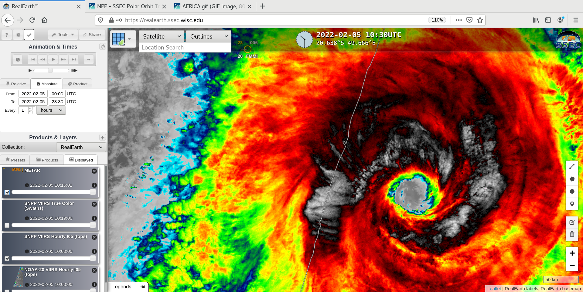
Cyclone Batsirai makes landfall in Madagascar

US Space Force EWS-G1 — formerly GOES-13 — Visible (0.63 µm) and Infrared Window (10.7 µm) images (above) showed Cyclone Batsirai making landfall as a Category 3 storm along the eastern coast of Madagascar on 05 February 2022.Suomi-NPP VIIRS True Color RGB and Infrared Window (11.45 µm) images viewed using... Read More

Cyclone Batsirai reaches Category 4 intensity

US Space Force EWS-G1 (formerly GOES-13) Infrared Window (10.7 µm) images (above) showed Cyclone Batsirai in the South Indian Ocean — just north of the island nations of Mauritius and Réunion — during the time period it was classified as a Category 4 intensity storm (00 UTC on 02 February... Read More

Cyclone Batsirai in the South Indian Ocean

US Space Force EWS-G1 (formerly GOES-13) Infrared Window (10.7 µm) images (above) showed Cyclone Batsirai in the South Indian Ocean as it rapidly intensified from a Tropical Storm at 06 UTC to Category 2 storm (at 12 UTC on 27 January) and briefly exhibited a pinhole eye — and then... Read More