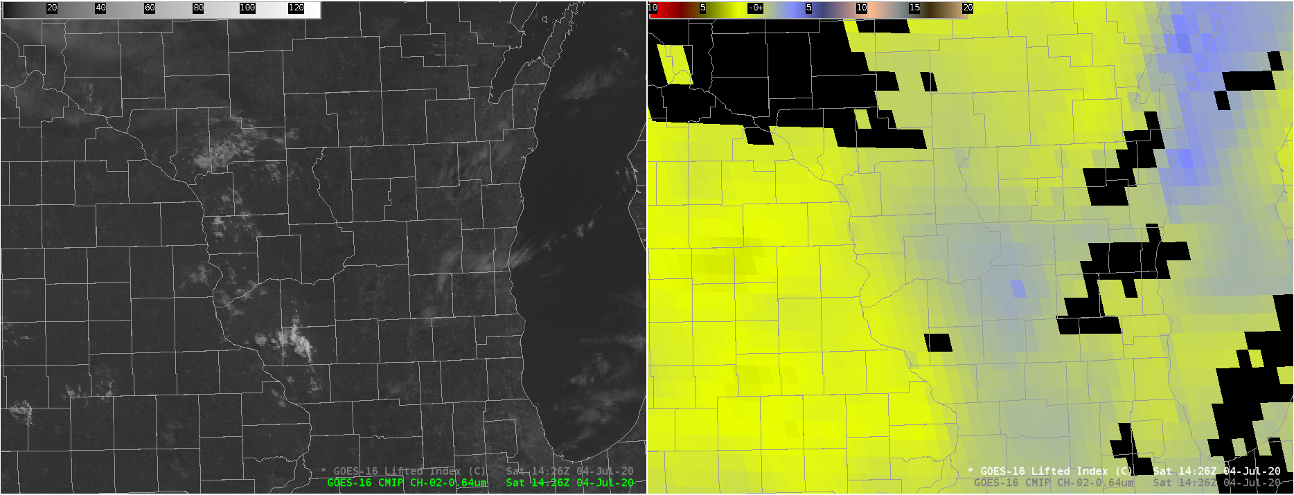
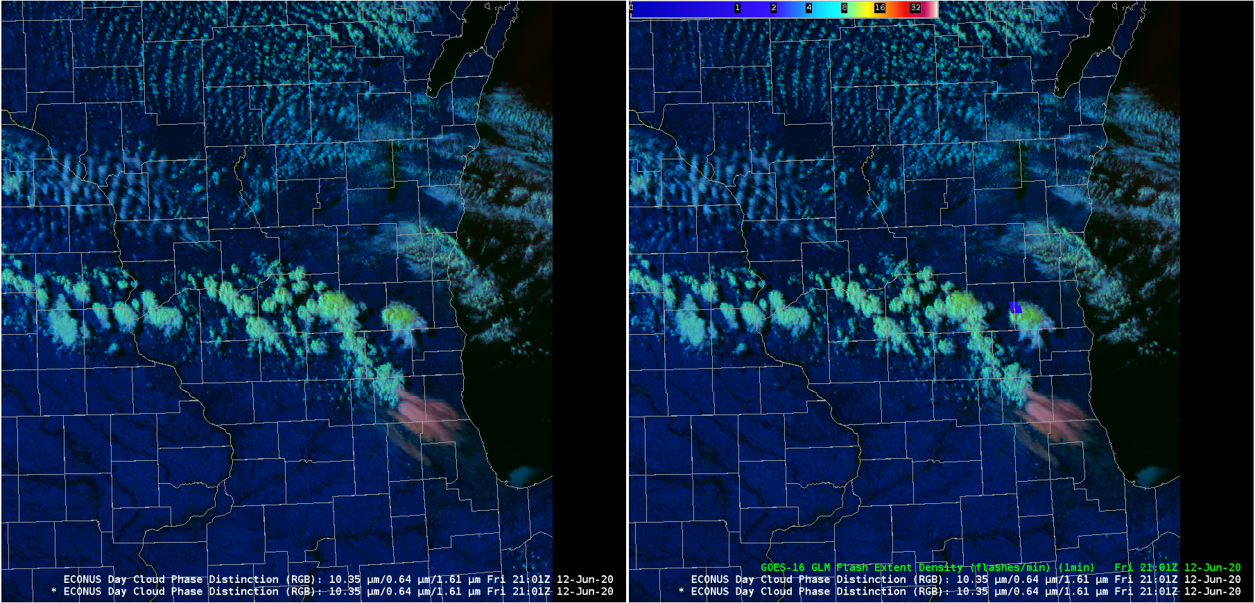
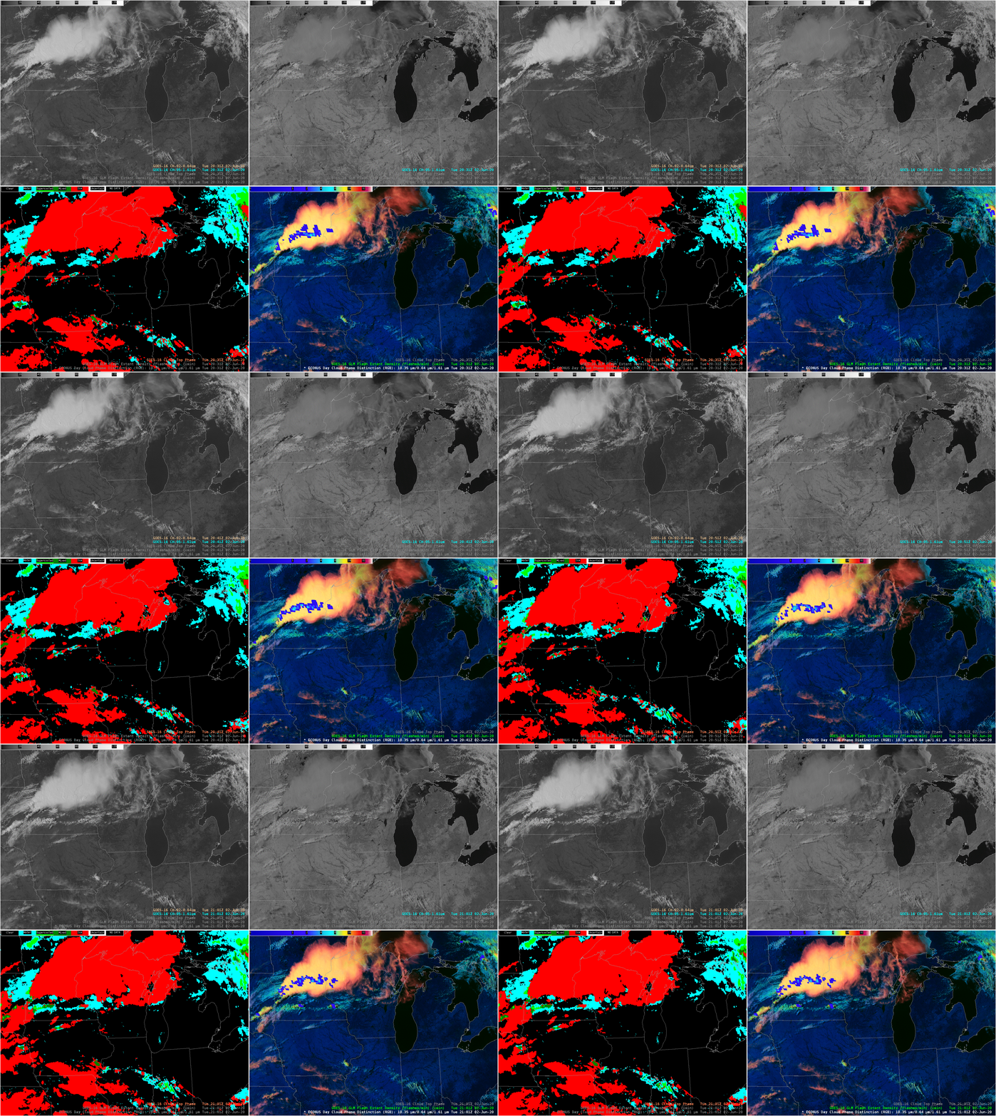
Using NUCAPS and GOES-16 Level 2 Stability products and LightningCast to anticipate lightning

LightningCast (available here) is a CIMSS-developed product (created at the request of OPC and WPC) designed to relate current ABI fields (Band 2 (0.64 µm), 5 (1.61 µm), 13 (10.3 µm) and 15 (12.3 µm)) to the likelihood of future lightning. (A short training video on this product is available... Read More


