Co-registration Issues on GOES-13
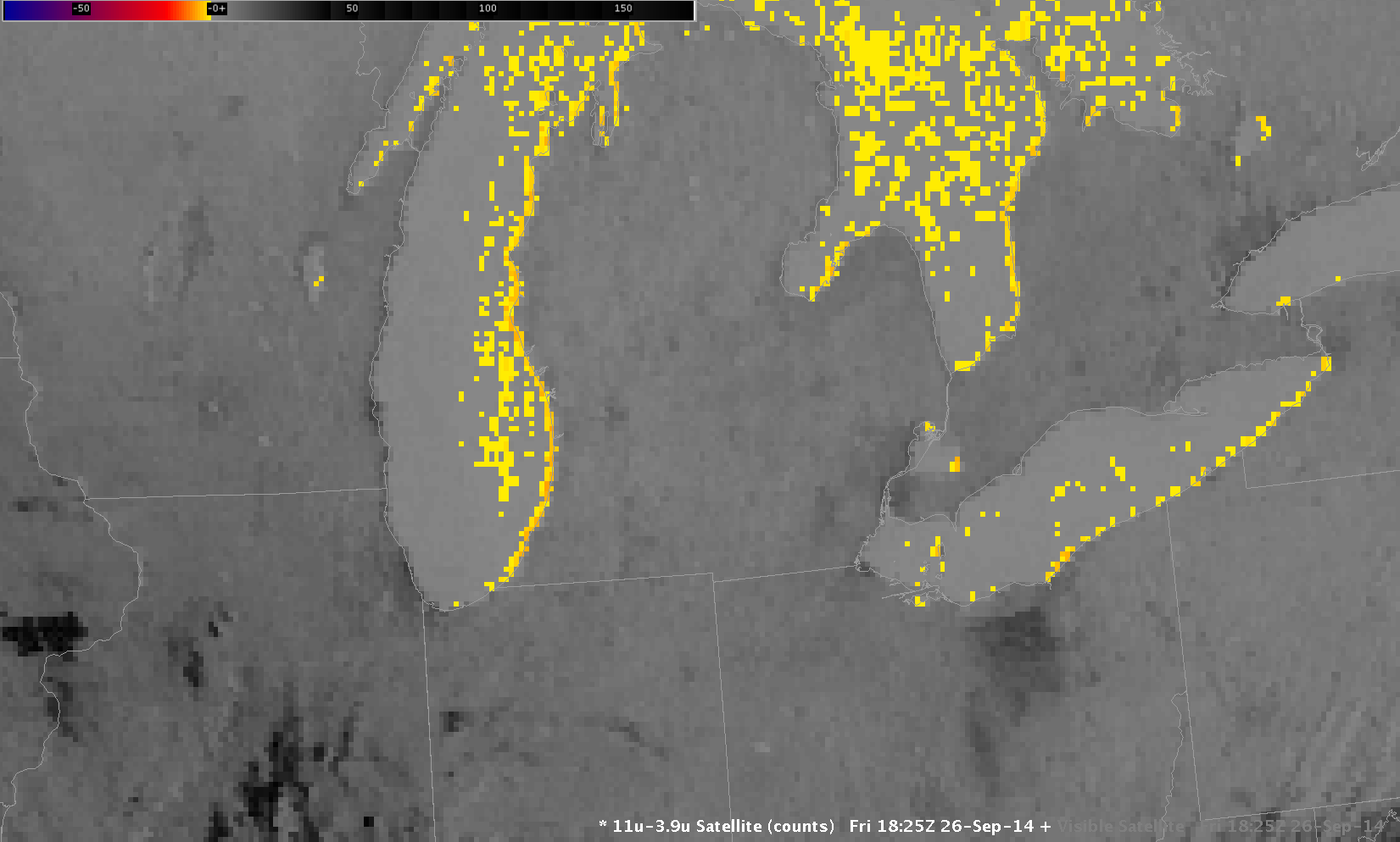
Previous posts on this blog (and elsewhere) have detailed the co-registration misalignment that exists between the 3.9 µm and 10.7 µm channels on the GOES-13 Imager. Because of this diurnally-varying co-registration error, a 3.9 µm pixel may be offset to the right or left of a 10.7 µm pixel; if this... Read More
