Cirrus over the western Great Lakes
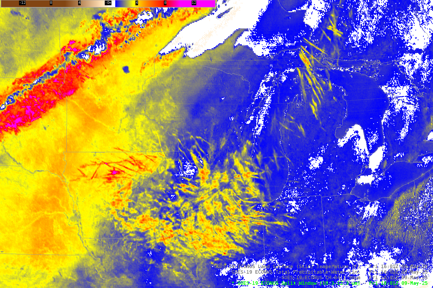
From the mailbag early on Friday 9 May 2025 The contrail show over the Lake MI region is pretty crazy this morning with the rotated flow aloft. Wondering if these are originating from a bunch of intercontinental flights that touch high latitudes in "great circle" fashion.What did the mid-level water... Read More
