Cut off over the Ohio River Valley
GOES-19 True-Color animations on 5 May and 4 May 2025 (from the CSPP Geosphere site) show a circulation cut off from the main westerlies and slowly meandering across the Ohio River Valley. The system has become a bit more symmetric on the 5th as it separates more completely from the front along the east coast. A MIMIC Total Precipitable Water animation for the 24 hours ending 1600 UTC on 5 May, below, shows the system surrounded by relatively dry air.

Advected Layer Precipitable Water (ALPW) fields, below, from ca. 0300 UTC 4 May 2025 and 1500 UTC 5 May 2025 (from this site) shows that the system is stacked in the vertical and moving very very slowly.

Airmass RGB shows the system drifting across northern Kentucky in the 38 hours ending at 1400 UTC 5 May 2025. It is spawning clouds and showers over a large portion of the eastern United States as the storm meanders, as shown in this radar animation from here.

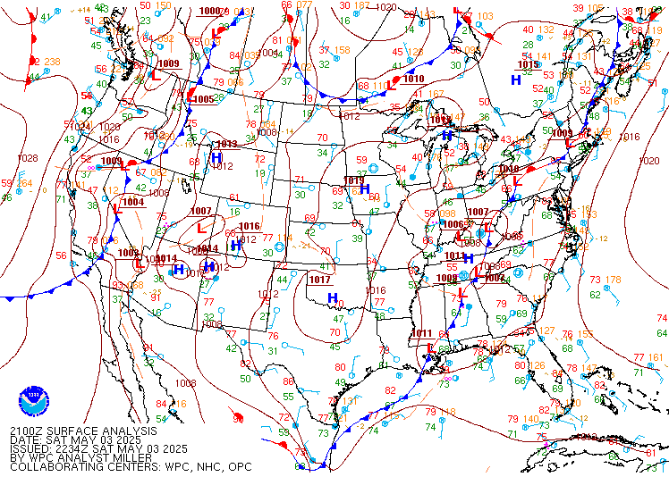
The animation below shows the evolution of the surface system from 2100 UTC 3 May through 1200 UTC 5 May 2025.
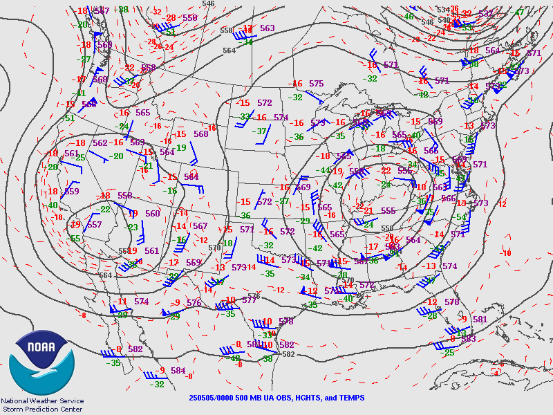
500-mb heights on 5 May 2025 (below, at 0000 and 1200 UTC), clearly show the system over Kentucky. A system over the southwestern United States is poised to kick the storm over the Ohio River valley to the east.