Tropical Storm Alvin forms in the eastern Pacific Ocean
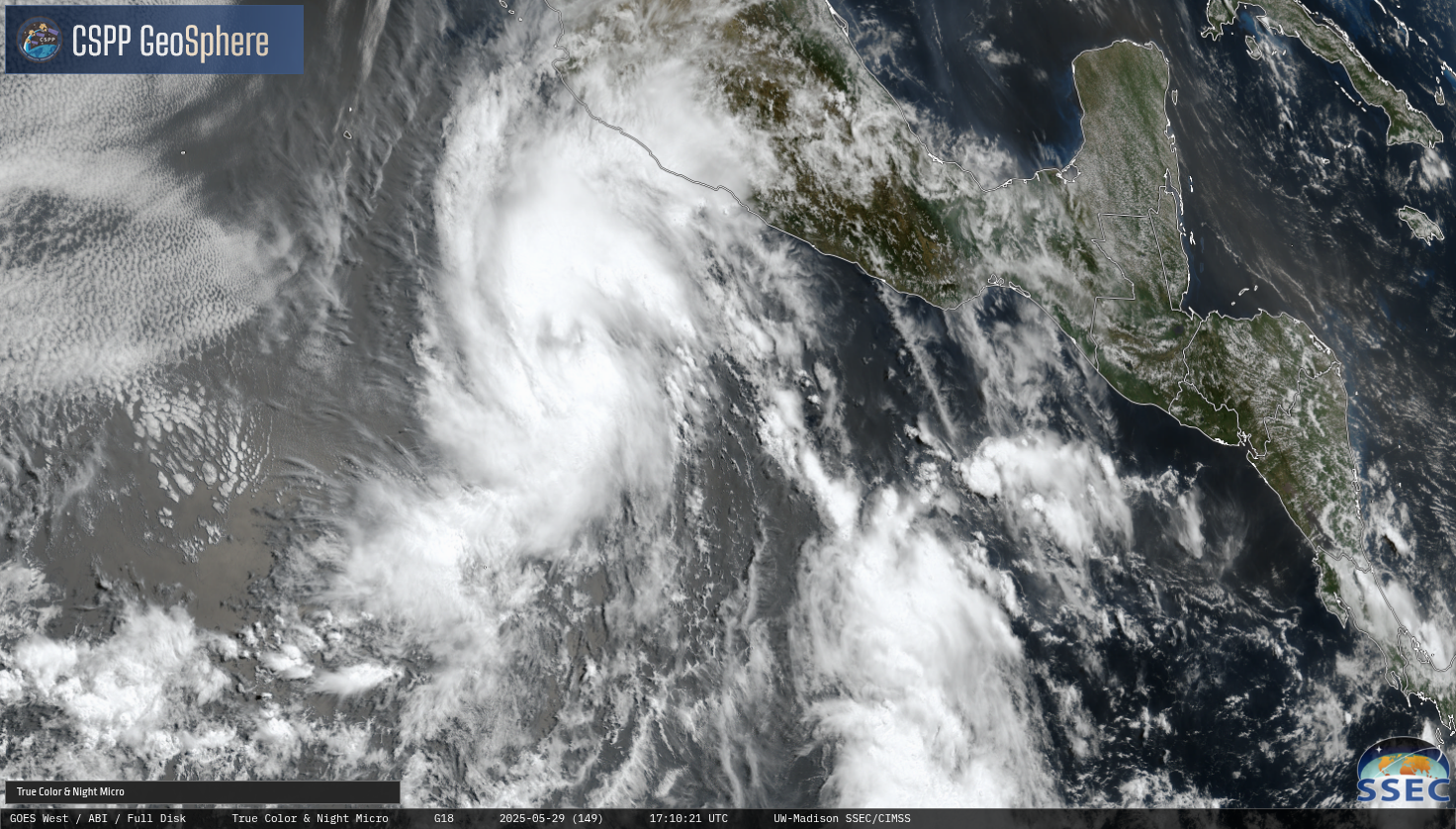
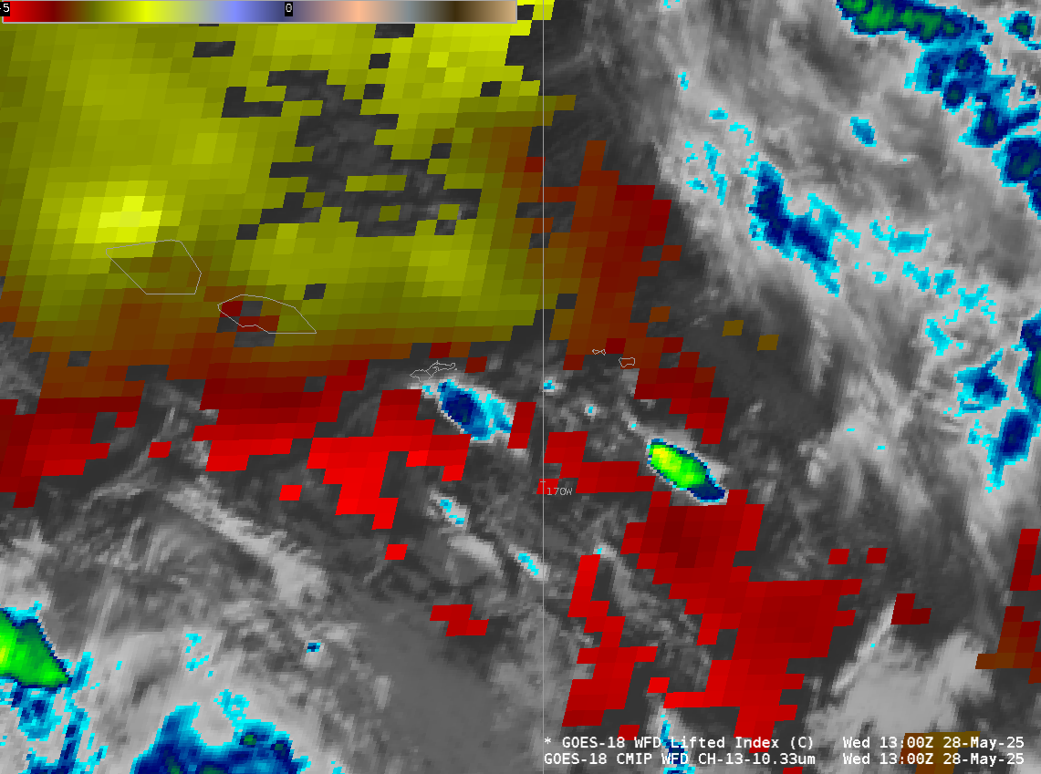
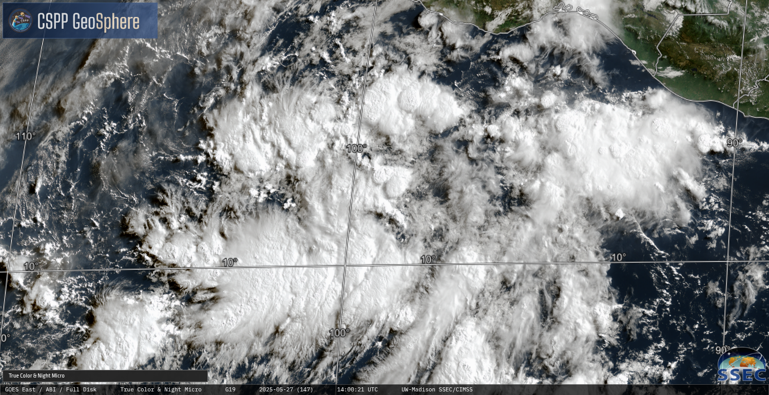
Daily CSPP Geosphere imagery (direct link) showing 1710 UTC imagery from 25-29 May 2025, above, depict the slow organization and intensification of an area of disturbed weather south of Mexico (discussed here) as it became Tropical Storm Alvin, the first storm of the eastern Pacific Hurricane Season. This is the 4th Alvin... Read More