Stories by Scott Lindstrom
GOES-14 to begin SRSO imaging in August
GOES-14 (positioned over the Equator at 105º West Longitude) Imager and Sounder instruments have been activated to support of SRSO-R operations, which are scheduled to begin Thursday 14 August. The first image acquired was shortly after 1530 UTC on 5 August; Image Navigation and Registration start-up was scheduled for 7-9 August,... Read More
Iselle approaches the island of Hawai’i
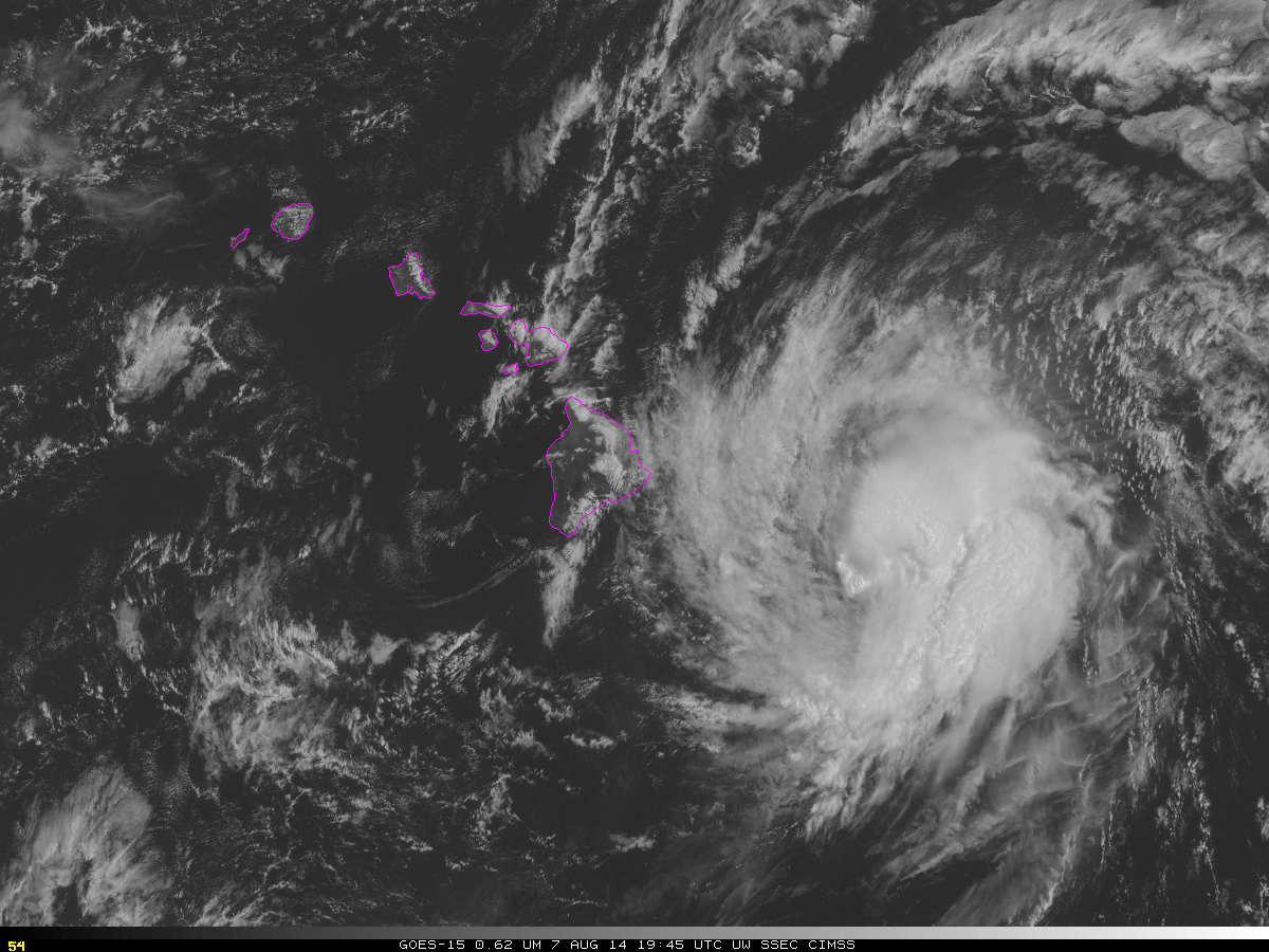
GOES-15 visible imagery from after sunrise on 7 August 2014 shows the approach of Pacific Hurricane Iselle towards the ‘Big Island’ of Hawai’i. Orographically-forced clouds are apparent on the northern shores of the entire Island chain, and significant rains are possible as the storm passes — Flash Flood Watches are... Read More
Iselle and Julio in the Pacific Ocean
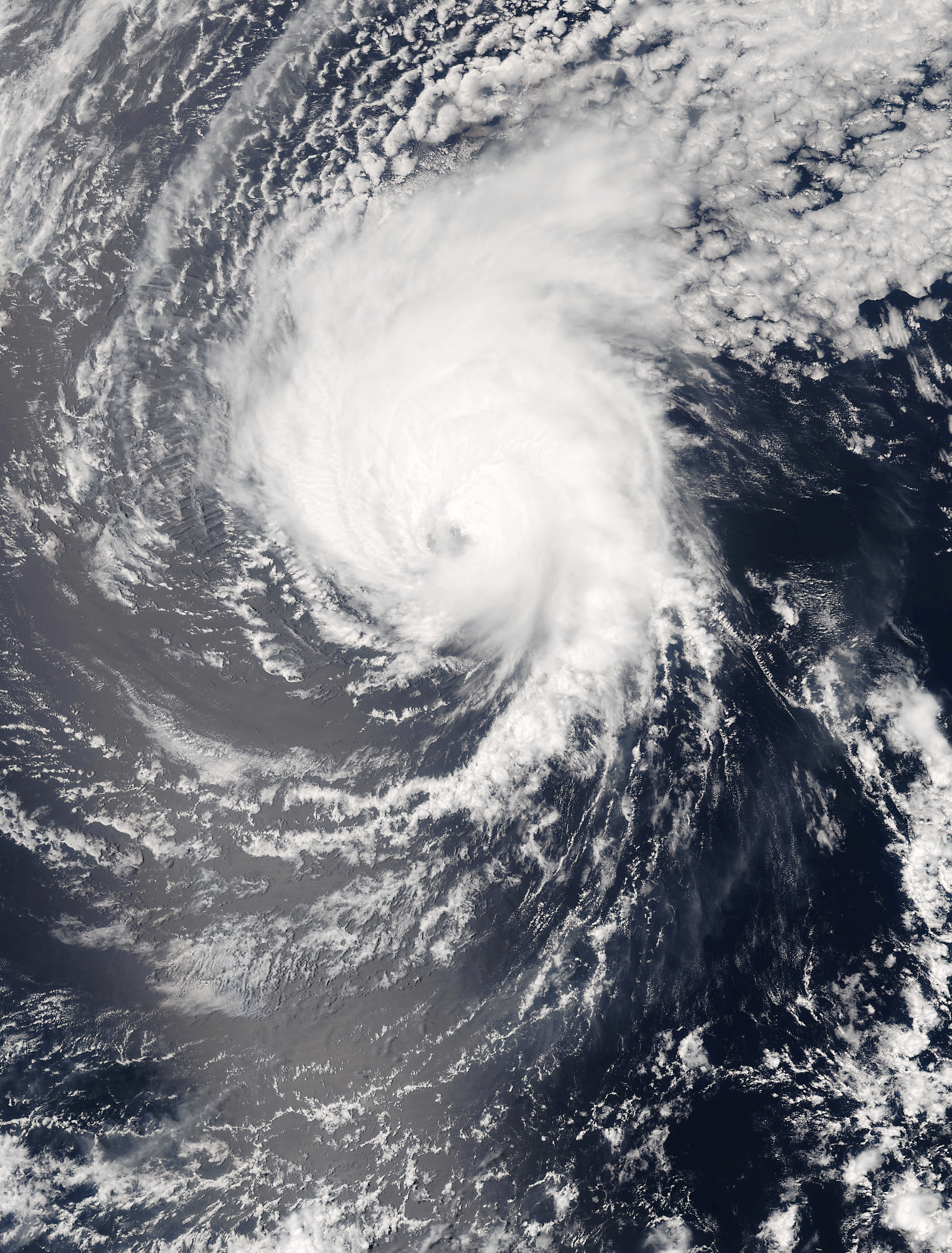
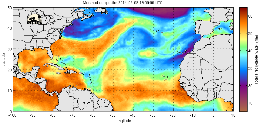
Hurricanes Iselle and Julio in the central and eastern Pacific Ocean, respectively, are forecast to affect the Hawaiian Islands in the coming days. The True-Color image of Iselle, above, derived from data from Suomi NPP downloaded at NOAA’s X/L Antenna in Hawaii from 2245 UTC on 5 August shows asymmetries... Read More
