Toxic Algal Bloom in Western Lake Erie
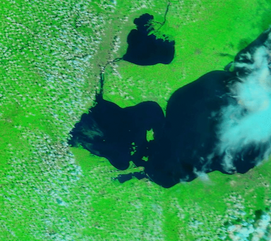
As happened in 2011, an algae bloom is ongoing over Lake Erie. The current bloom has contaminated at least one water intake for Toledo, Ohio’s municipal water supply with microcystin, a cyanobacter that when ingested can damage the liver and nauseate people. (There is also significant danger to pets). A... Read More