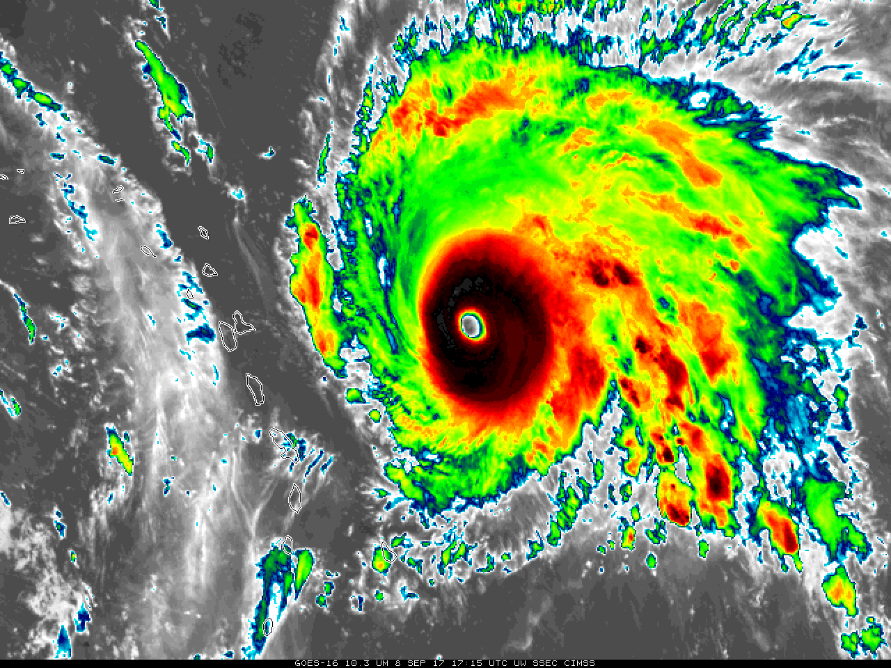
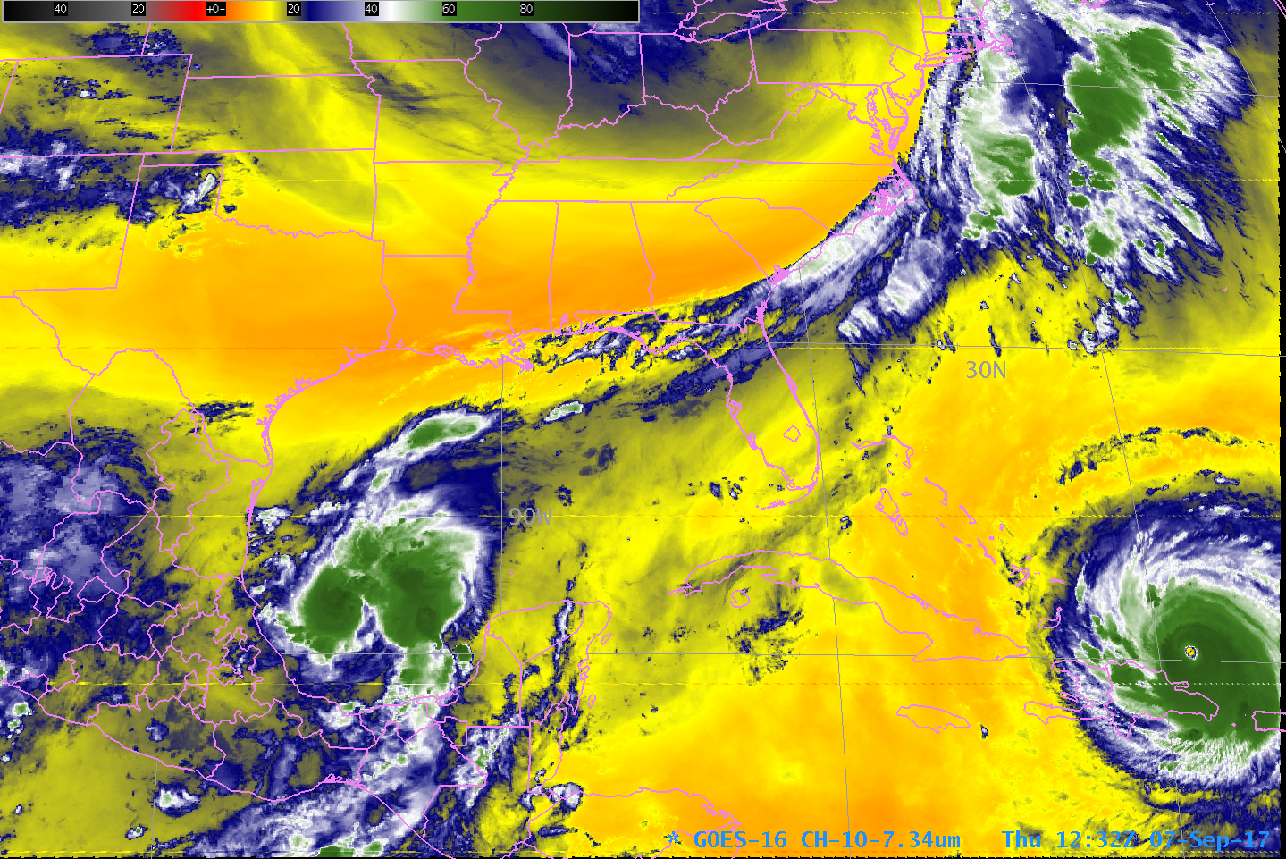
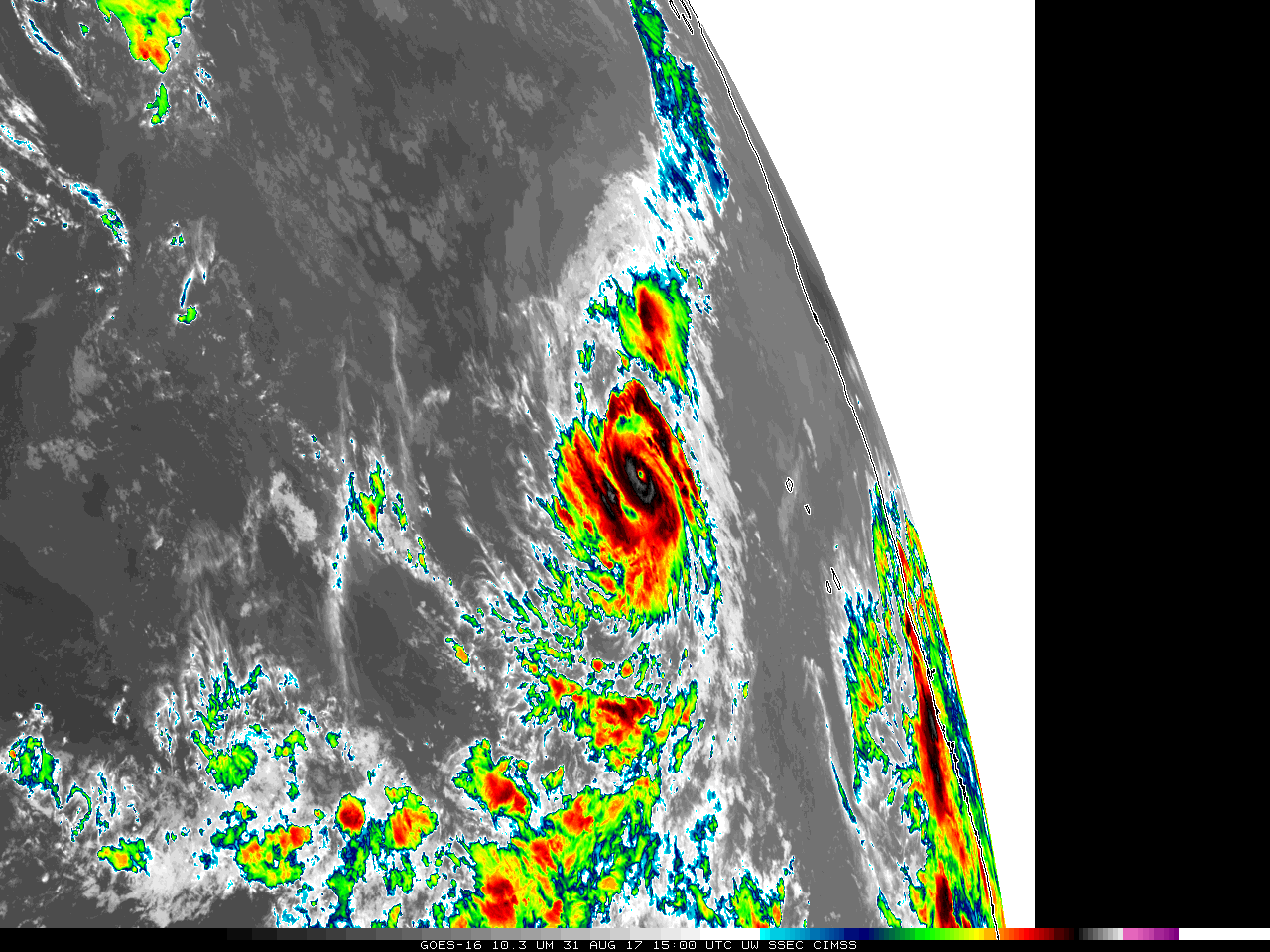
Hurricane Irma moves along the north coast of Cuba
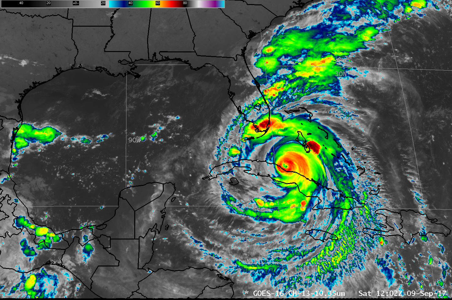
GOES-16 data posted on this page are preliminary, non-operational and are undergoing testingHurricane Irma hit Cuba as a category 5 Storm late on 8 September 2017. The animation above shows the storm paralleling the north coast of Cuba; outer rainbands are moving into southern Florida. Irma is forecast to turn... Read More
