Category 4 Hurricane Jose approaches the Leeward Islands
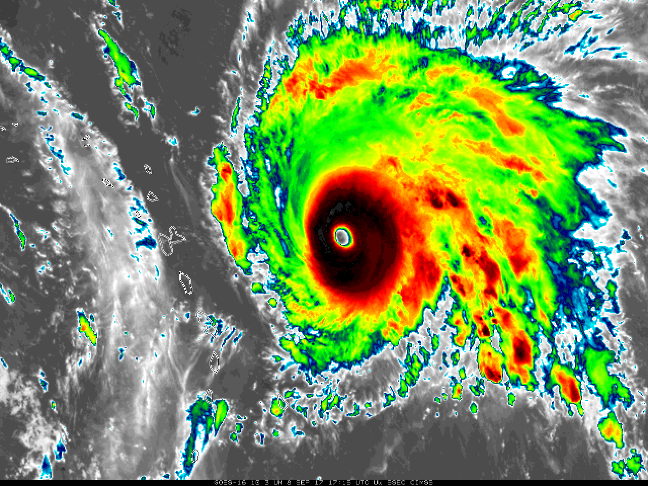
GOES-16 Clean Window (10.3 µm) Infrared Imagery, 1715 UTC on 8 September 2017 (Click to enlarge)
GOES-16 data posted on this page are preliminary, non-operational and are undergoing testing
Hurricane Jose is approaching the Leeward Islands, following Irma’s path through the region earlier in the week. The Category 4 storm is shown above in 10.3 µm Infrared Imagery from GOES-16. Its satellite presentation is excellent. Geostationary Lightning Mapper (GLM) Lightning data (from this site) plotted on top of ABI Visible (0.64 µm) Imagery is shown below.
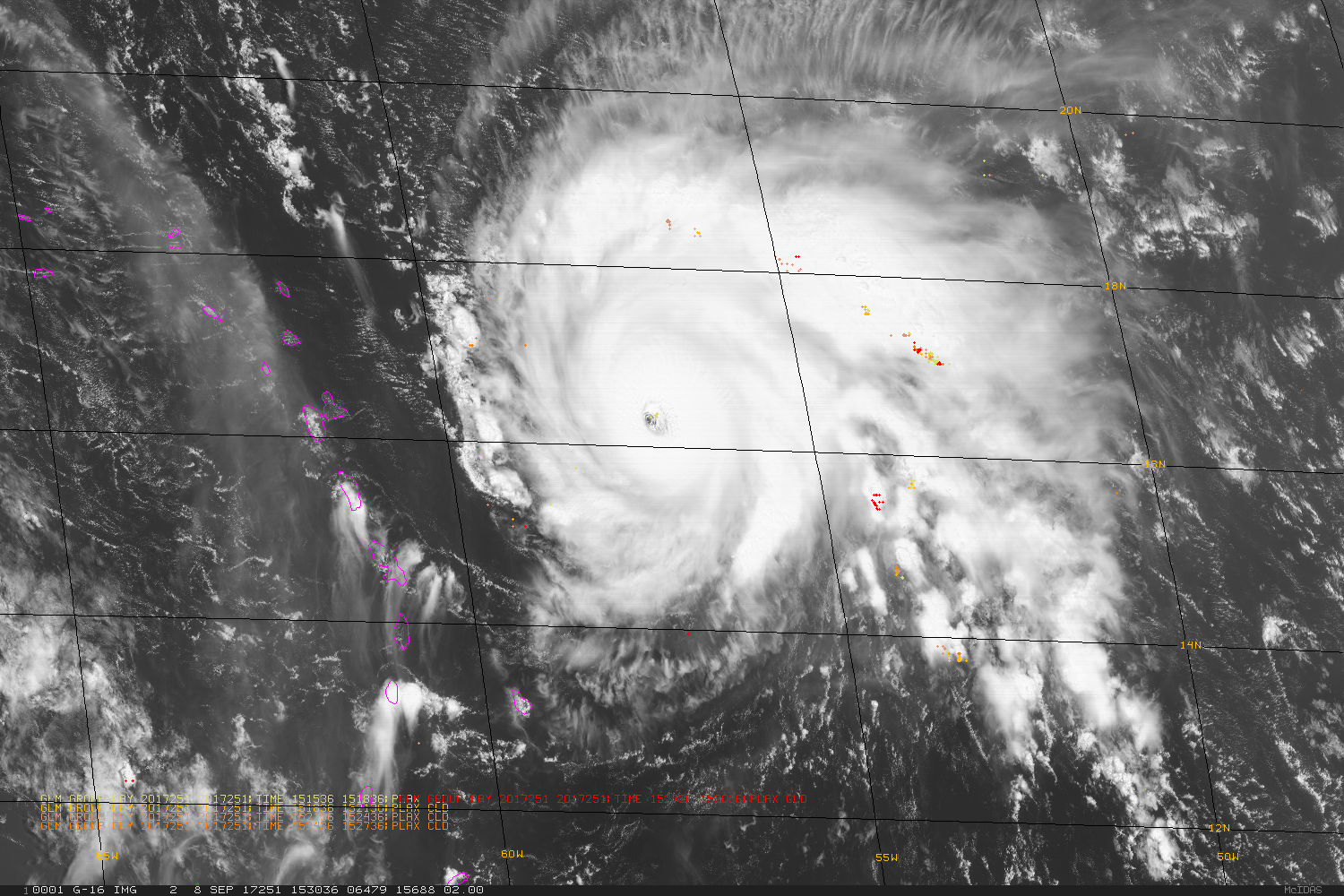
3-minute Aggregates of GLM Group Lightning plots and ABI Visible imagery (0.64 µm) at 15 minute intervals, 2 hours ending 1745 UTC on 8 September 2017 (Click to enlarge)
Cirrus outflow from Hurricane Irma is visible in the Visible/GLM animation above over and to the west of the Lesser Antilles. That shear is not yet affecting Jose.
For more information on Jose, consult the webpages of the National Hurricane Center, or the CIMSS Tropical Weather Website.