Hurricane Irma north of Hispaniola

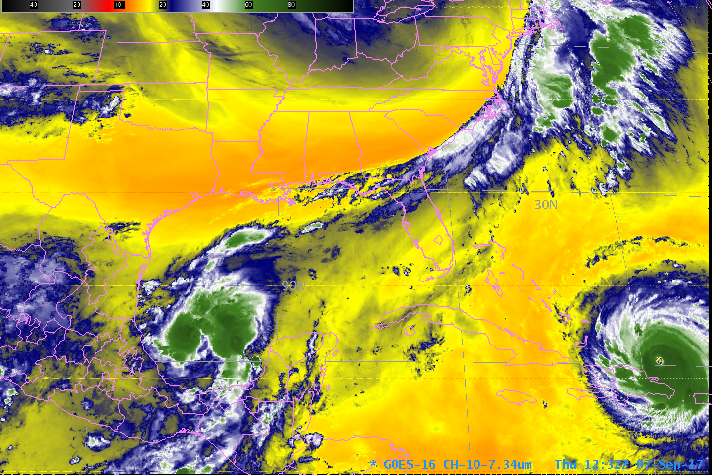
GOES-16 Low-Level Water Vapor Infrared (7.34 µm) Imagery, 0737 – 1232 UTC on 7 September 2017 (Click to animate)
GOES-16 data posted on this page are preliminary, non-operational and are undergoing testing
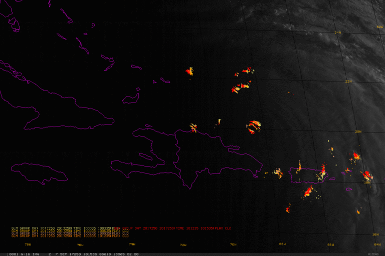
GOES-16 Captured very strong Hurricane Irma, north of Hispaniola, early on the day on 7 September. The 7.34 µm channel shown is sensitive to water vapor, that is, water vapor in the atmosphere absorbs energy at 7.34 µm. The animation shows the storm moving steadily to the west-northwest. A far less-organized Hurricane Katia is over the southwestern Gulf of Mexico, with a strong jet extending from Katia northeastward along the east coast. A short animation of Visible Imagery with Geostationary Lightning Mapper data, below, from 1015-1230 UTC, shows considerable lightning activity continuing in the eye of the storm and in some of the convective bands that surround it.

GOES-16 Visible (0.64 µm) Imagery at 15-minute intervals underneath plots of GLM Group Activity in 3-minute intervals, 1015-1230 UTC 7 September 2017 (Click to animate)
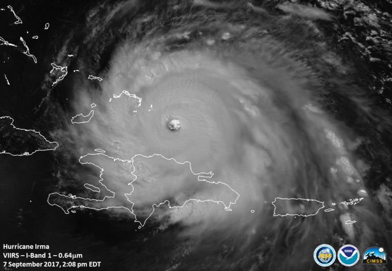
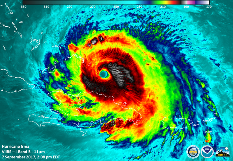
Suomi NPP overflew Irma at about 1800 UTC on 7 September. Visible (0.64 µm) and Infrared (11.45 µm) imagery from the VIIRS Instrument on Suomi NPP is below.


