This website works best with a newer web browser such as Chrome, Firefox, Safari or Microsoft Edge. Internet Explorer is not supported by this website.

Stories by Scott Lindstrom

Flooding on Maui and Oahu

Infrared imagery over the Hawai’ian Islands on 25/26 October, below, shows convective development over Maui and Oahu. This was also a region of strong vertical wind shear, as shown below, as upper level cloud features were moving southeastward, low level clouds were moving to the west).GREMLIN is a machine-learning tool... Read More

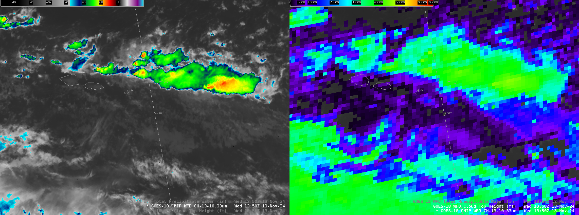
The Samoan Islands see Rain

MIMIC TPW fields for the first half of 22 October (at which point the data feed from NOAA/NESDIS was interrupted) shows the Samoan Islands within an isolated region of relatively dry air with moisture moving in from the east. GFS fields showing the Galvez Davison Index (GDI) that is sometimes... Read More

Dark Oceans in Day Night Visible imagery

VIIRS Day Night Band visible imagery (at 0.7 µm) on 23 October, above, shows a dark patch over the Mid-Atlantic right to the east of New Jersey and the Delmarva peninsula. Chesapeake Bay waters are also much darker than most of the adjacent Atlantic Ocean. Dark patches such as these... Read More