Day Night Band imagery of the Mountain Fire
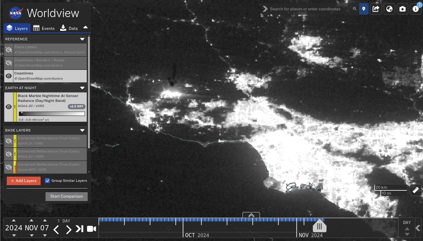
Day Night Band imagery from NOAA-20, below, captured from the NASA Worldview site, shows a great increase in emitted light associated with the Mountain Fire on 7 November over Ventura County, CA, to the north of Los Angeles. This occurred during a time with little lunar illumination — when moonlight is available, the smoke plume... Read More


