This website works best with a newer web browser such as Chrome, Firefox, Safari or Microsoft Edge. Internet Explorer is not supported by this website.

Stories by Scott Lindstrom

Comparing SAR wind data to GOES-16 ABI imagery

Synthetic Aperture Radar (SAR) imagery can be used to produce very high resolution mapping of winds. Imagery is available in selected domains at this NOAA/OSPO website; OSPO is the Office of Satellite Product Observations. Data are available from three different satellites: Sentinel-1/Sentinel-2 (managed by the European Space Agency) and RADARSAT (managed by the Canadian Space Agency). These space-borne radars can... Read More

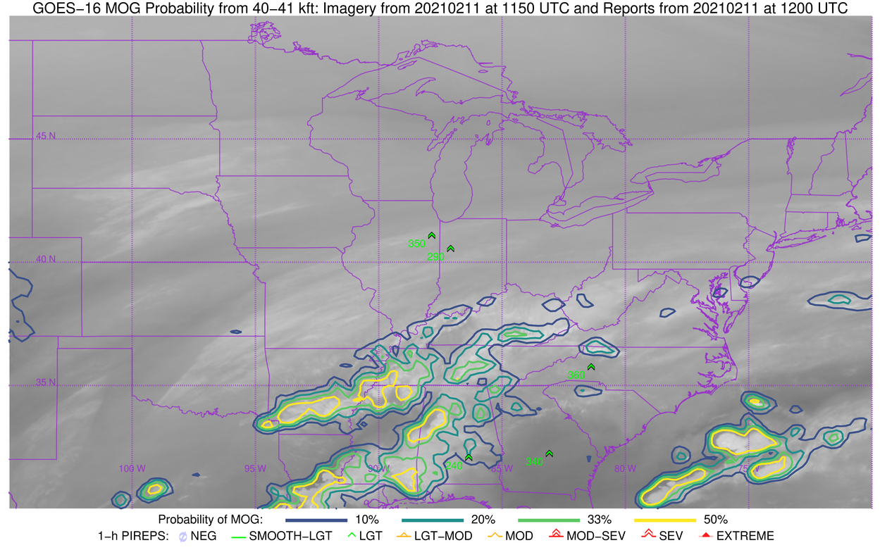
Turbulence over the Tennessee River Valley

The animation above shows GOES-16 Band 4 (1.38 µm, “Cirrus Channel) Imagery along with GOES-16 Derived Motion Wind vectors and Turbulence observations. Significant and widespread turbulence occurred. Of particular interest is a arced feature that appears in the GOES-16 imagery from northern Mississippi through western Tennessee and into south-central Kentucky. ... Read More

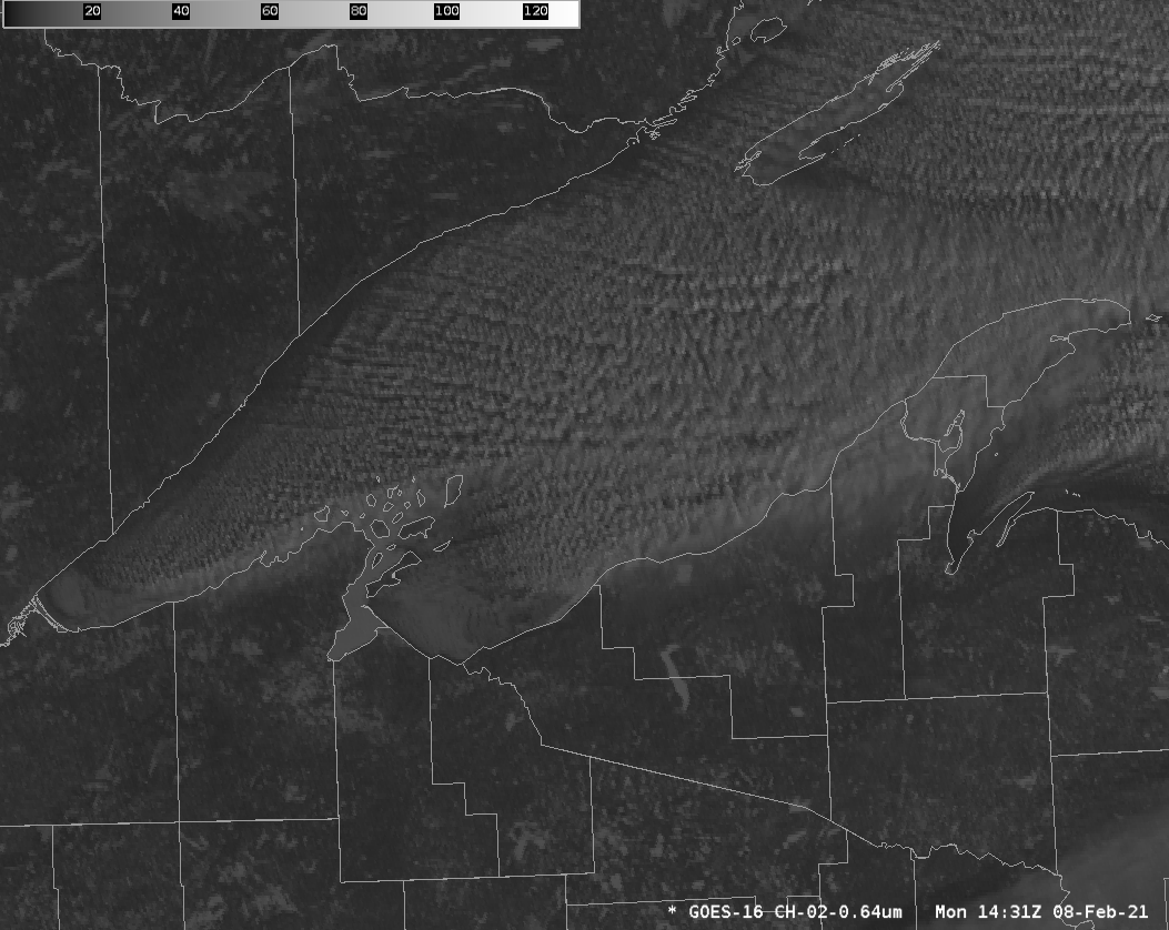
Ice Motion in Lake Superior

GOES-16 visible animations from the morning of 8 February show ice motion along the south shore of Lake Superior, moving northeastward away from Duluth Harbor, and also east and northeastward to the south of Madeline Island. Winds at this time were from the west or southwest at 15-20 knots as... Read More

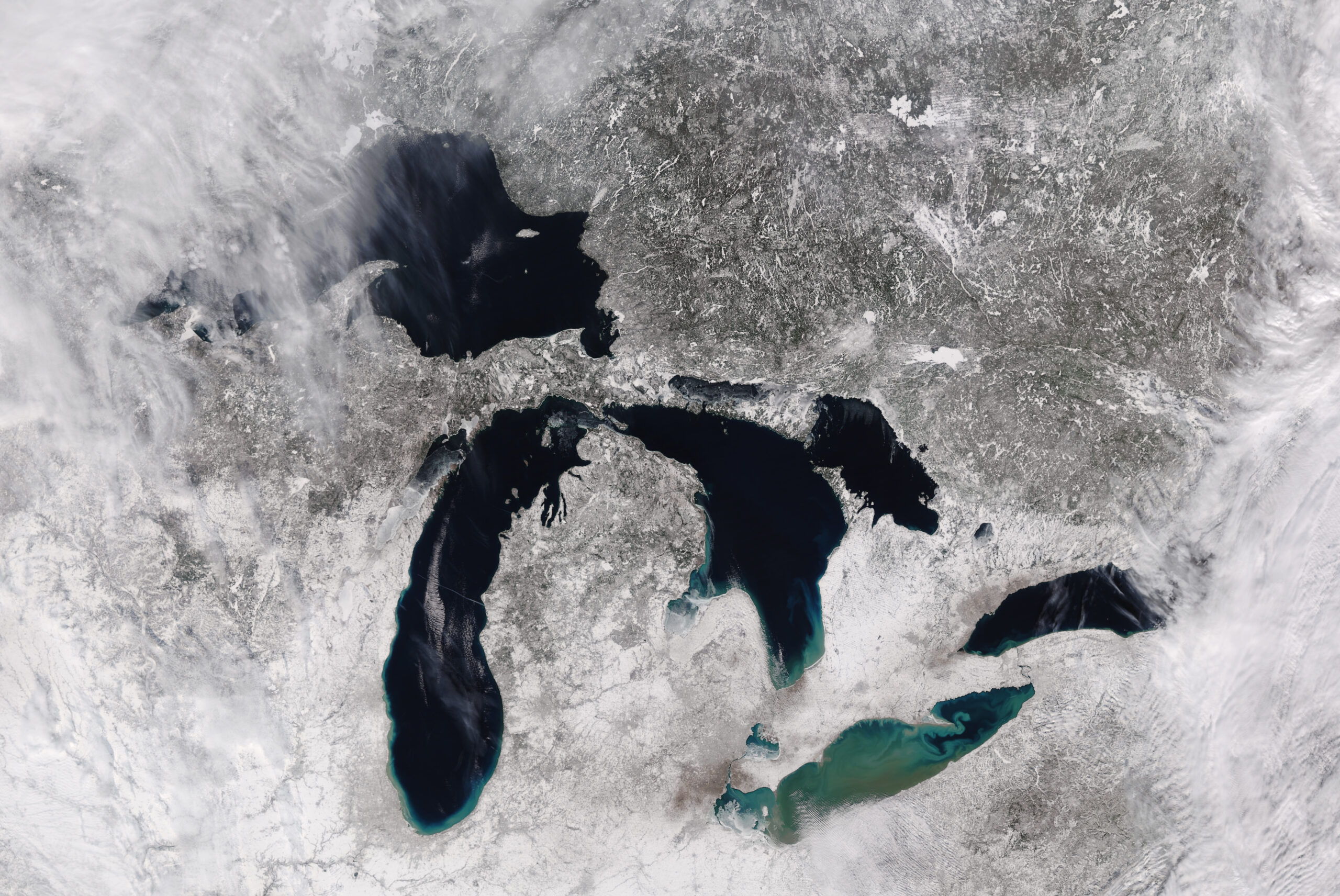
Winter over the Great Lakes as viewed by VIIRS

A rare, mostly clear day over the Great Lakes (and favorable orbital geometry) allowed NOAA-20, above, and Suomi-NPP, below, to image all 5 Great Lakes in one scene.  These images were produced from data that were downloaded at the Direct Broadcast site at CIMSS and processed with CSPP and Polar2Grid; ... Read More