This website works best with a newer web browser such as Chrome, Firefox, Safari or Microsoft Edge. Internet Explorer is not supported by this website.

Stories by Scott Bachmeier

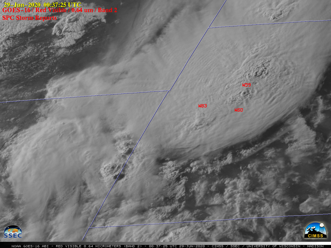
Severe thunderstorms exhibiting Above-Anvil Cirrus Plumes over the Dakotas

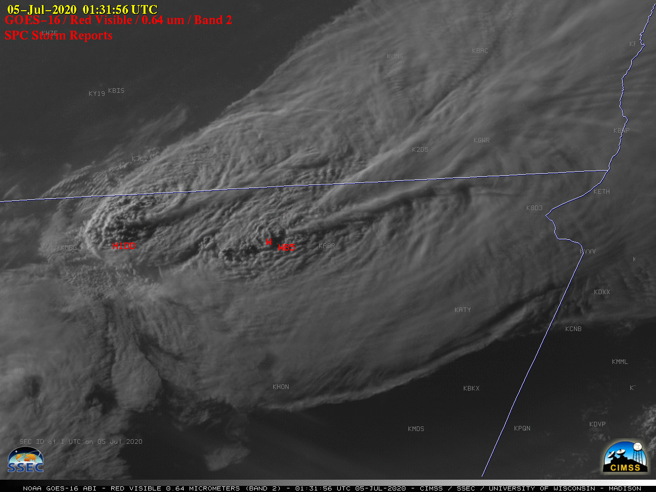
1-minute Mesoscale Domain Sector GOES-16 (GOES-East) “Red” Visible (0.64 µm) and “Clean” Infrared Window (10.35 µm) images (above) showed two severe thunderstorms along the North Dakota / South Dakota border region, which exhibited Above-Anvil Cirrus Plumes  (reference | VISIT training).A longer animation of GOES-16 Visible images with plots of time-matched SPC Storm Reports is shown above, with GOES-16 Infrared images... Read More

Blowing dust in southern Bolivia

GOES-16 (GOES-East) True Color Red-Green-Blue (RGB) images created using Geo2Grid (above) showed plumes of blowing dust originating from dry river beds along portions of the Río Grande O Guapay and Río Parapetí in southern Bolivia on 04 July 2020. Strong northerly winds developed across that region, just east of the... Read More

Severe thunderstorms over Wyoming and South Dakota

GOES-16 (GOES-East) “Red” Visible (0.64 µm) images with time-matched plots of SPC Storm Reports (above) displayed clusters of thunderstorms that moved across eastern Wyoming and western South Dakota on 28 June 2020. Numerous overshooting tops were seen, along with cloud-top gravity waves and a couple of Above-Anvil Cirrus Plumes (reference | VISIT training). These storms produced hail as large as 2.25″ in... Read More