Wildfire smoke in Colorado
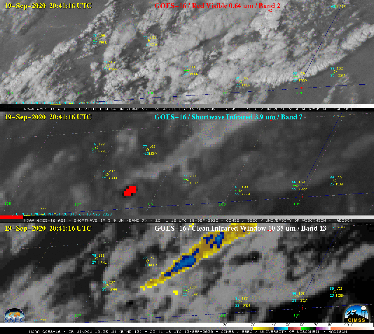
GOES-16 (GOES-East) True Color Red-Green-Blue (RGB) images created using Geo2Grid (above) showed plumes of smoke drifting across parts of Colorado on 30 September 2020. The most smoke prominent plume originated from the Mullen Fire in far southern Wyoming — which produced a pyroCb cloud on 19 September.On the following morning, the hazy signature of... Read More
