Occluding “Storm Force” cyclone in the Gulf of Alaska
McIDAS images of GOES-15 6.5 µm water vapor channel data (above; click image to play animation) revealed a very dramatic signature of the development of an occluding “Storm Force” cyclone over the Gulf of Alaska on 21 December 2011. The characeristic “wrapping spiral” of dry air (yellow to orange color enhancement) around the storm center signals that the mature cyclone is entering the occluded stage of its life cycle. Great detail in the water vapor structure can be seen in the 4-km resolution GOES-15 water vapor imagery that would not have been evident in the previous 8-km resolution GOES-11 water vapor imagery (recent GOES-11 to GOES-15 transition).
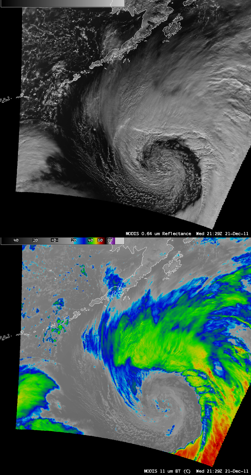
AWIPS images of 1-km resolution MODIS 0.64 µm visible channel and 11.0 µm IR channel data (below) showed the occluded cyclone at 21:29 UTC.
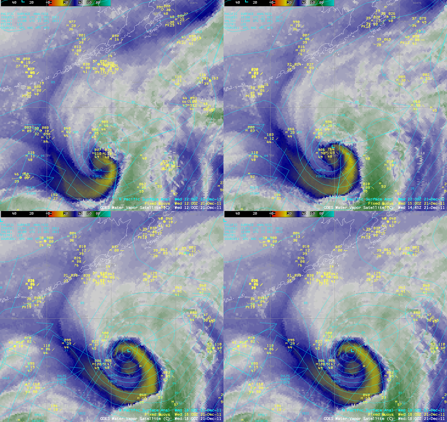
AWIPS images of GOES-15 6.5 µm water vapor channel dta with overlays of fixed buoy data and the North Pacific surface analysis (below) showed that the intensity (minimum central pressure) of the storm was underestimated on the 12:00 UTC surface analysis — but after passing over a buoy which registered a pressure value of 976.4 hPa at 15:00 UTC, the storm’s intensity was appropriately adjusted on the subsequent 18:00 UTC surface analysis. Note the large box of Hurricane Force winds that were forecast across the southwestern quadrant of the storm, in the wake of the cyclone’s cold front.


