Thunderstorms prompt the issuance of Flash Flood Warnings in American Samoa

1-minute GOES-18 Infrared images with an overlay of GLM Flash Points (white dots) and METAR surface reports (cyan), from 1501 UTC on 24 January to 0000 UTC on 25 January [click to play MP4 animation]
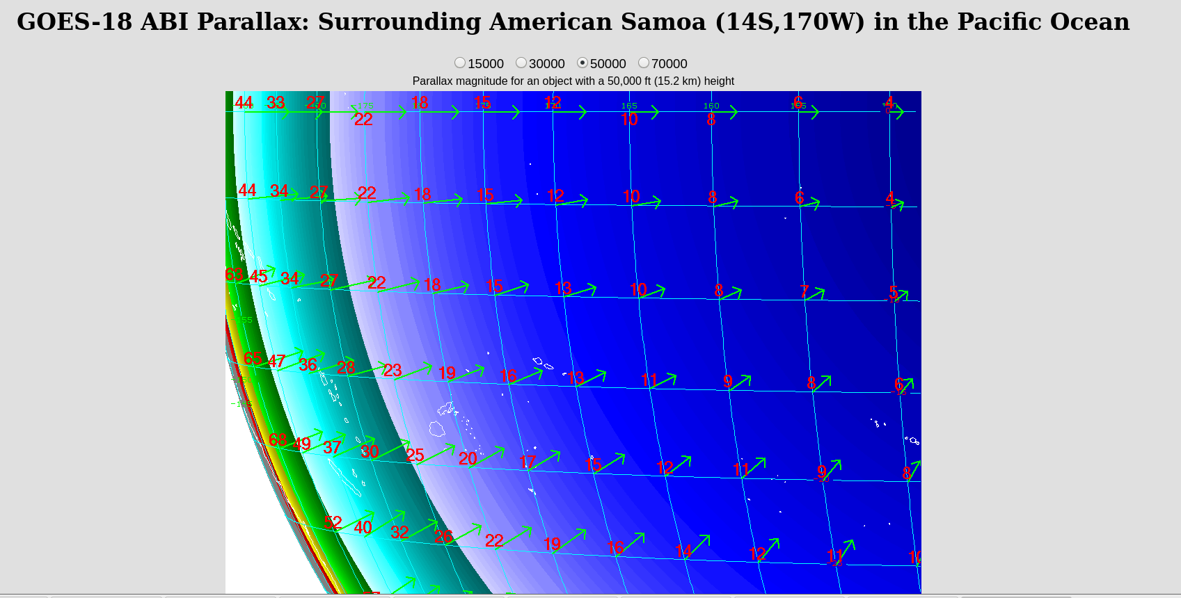
The coldest cloud-top infrared brightness temperatures were in the -85 to -89ºC range (darker shades of purple embedded within brighter white regions) — which represented a slight overshoot of the Most Unstable (MU) air parcel’s Equilibrium Level (EL), which was around 15 km (or 50 kft) according to a plot of rawinsonde data from NSTU at 0000 UTC on 25 January (below).

Plot of rawinsonde data from Pago Pago, American Samoa at 0000 UTC on 25 January [click to enlarge]

GOES-18 Infrared image at 1850 UTC on 24 January, with a cursor sample of the 1850 UTC Pago Pago (NSTU) METAR surface report [click to enlarge]

GOES-18 Infrared image at 2058 UTC on 24 January, with a cursor sample of the 2058 UTC Pago Pago (NSTU) METAR surface report [click to enlarge]
________________________

Decoded surface reports from Pago Pago, with the precipitation reports for 24 January (local time) highlighted by a green box [click to enlarge]

Pago Pago METAR reports, with the period of heavy rain showers (+SHRA) occurring within the red box [click to enlarge]