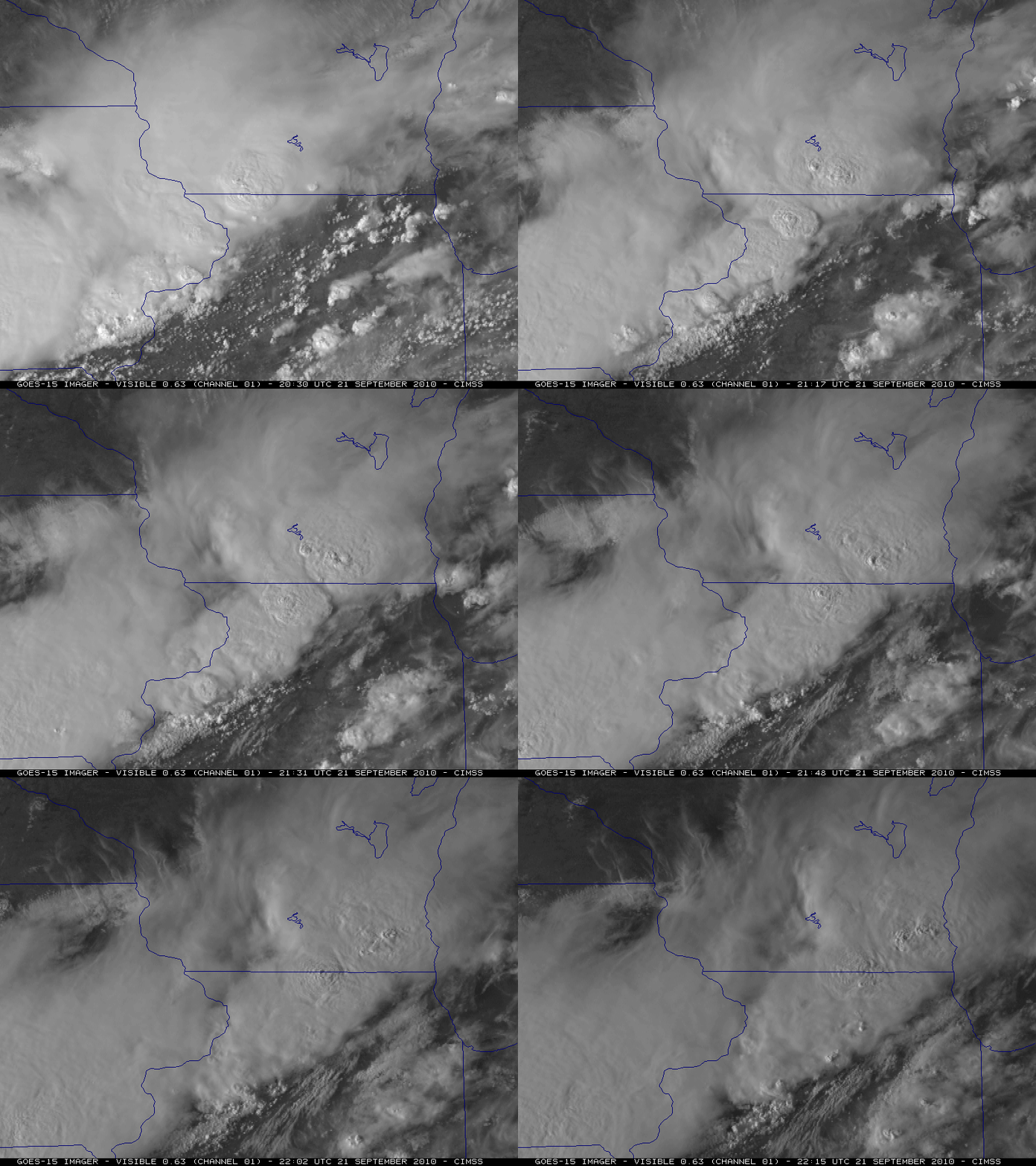
GOES-15 Super Rapid Scan Operations (SRSO) 1-minute interval images over the Upper Midwest
21 September 2010 was the final day of the GOES-15 Post Launch Science Test — and the satellite was placed into Super Rapid Scan Operations (SRSO) mode to provide images as frequently as every 1 minute over the Upper Midwest region. A set of SRSO 0.63 µm visible images (above) showed the evolution of clusters of severe thunderstorms with overshooting tops that were producing large hail and damaging winds across parts of Iowa, northern Illinois, and southern Wisconsin during the 20-22 UTC time frame (SPC Storm Reports).
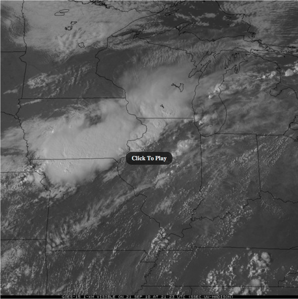
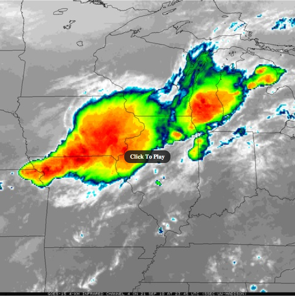
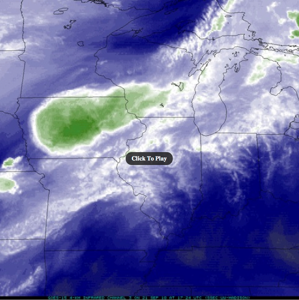
The full set of 1-minute interval SRSO 0.63 µm visible, 10.7 µm IR, and 6.5 µm water vapor images (from 12:45 UTC to 23:45 UTC on 21 September) are available as either QuickTime movies or as Animated GIF files (below).
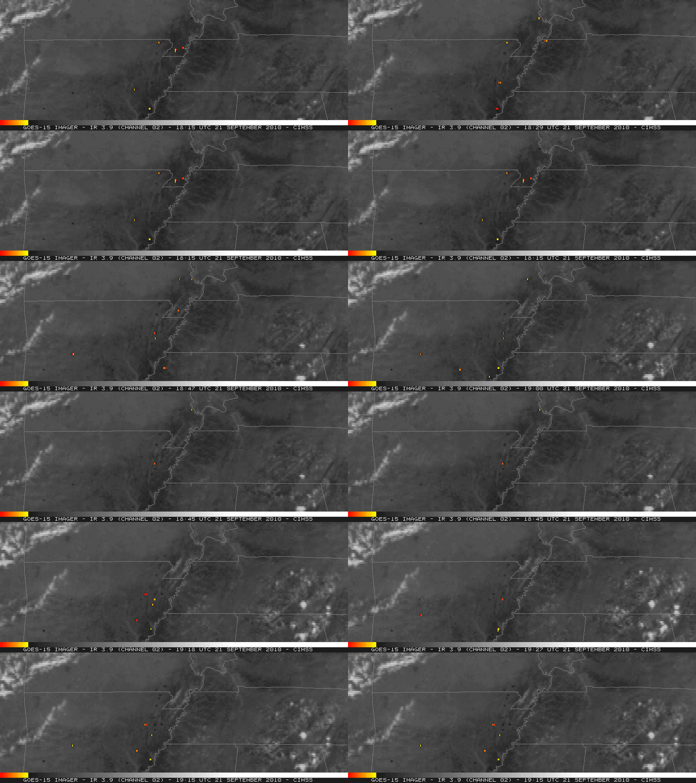
In addition to the severe convection, there were a number of small agricultural fires burning across parts of northern Arkansas into the Boothill of Missouri region and extreme southern Illinois. A comparison of GOES-15 3.9 µm shortwave IR images at 1-minute intervals (below; top panels) vs the “normal” operational 15-minute interval (below; bottom panels) demonstrates the improved ability to monitor the temporal variability of such small and often short-lived fires (which were denoted by the hotter yellow to red pixels).


