Tropical Storm Fiona
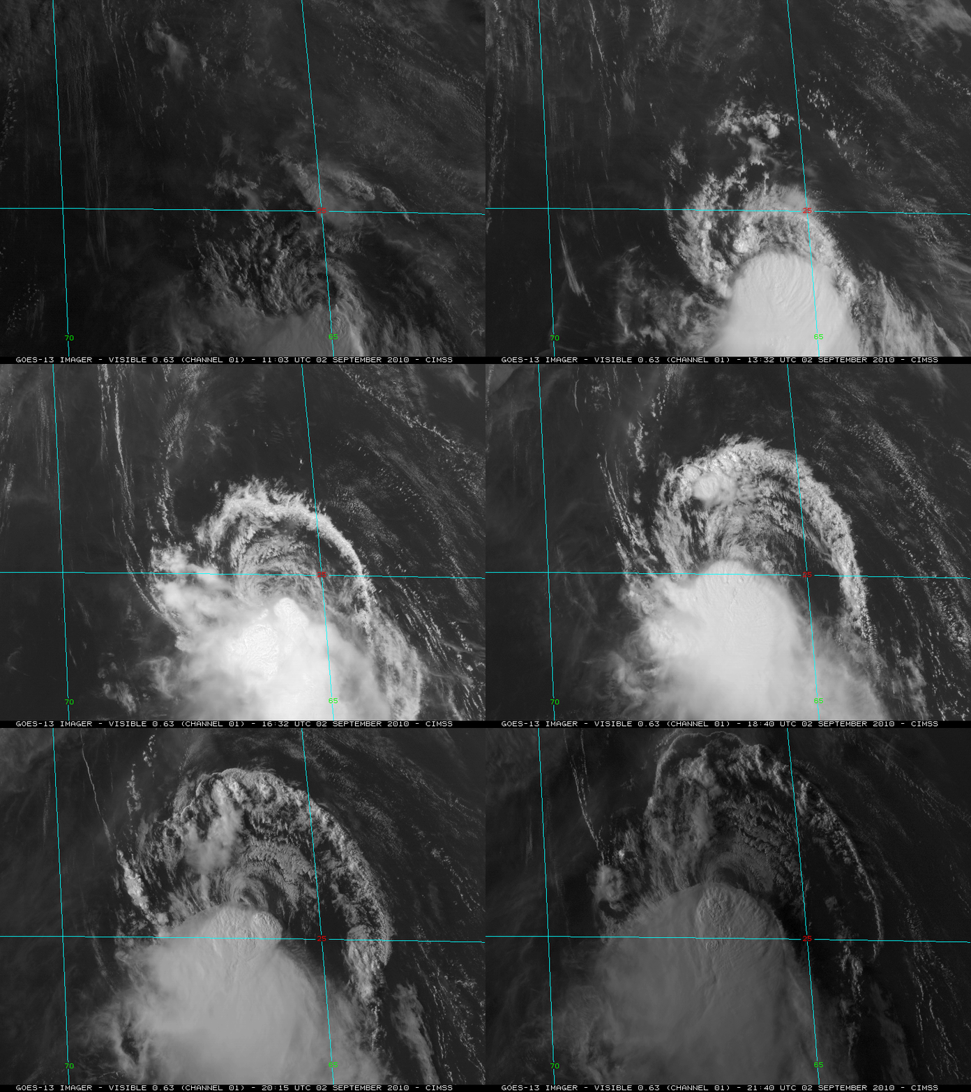
McIDAS images of GOES-13 0.63 µm visible channel data (above, also available as a QuickTime movie) showed some interesting details associated with Tropical Storm Fiona in the central Atlantic Ocean on 02 September 2010: a series of intense convective bursts just south of a partially-exposed low-level circulation center, and a large northward-moving “outflow boundary” arc cloud. The GOES-13 satellite had been placed into Rapid Scan Operations (RSO) model, allowing images as frequently as every 5-10 minutes.
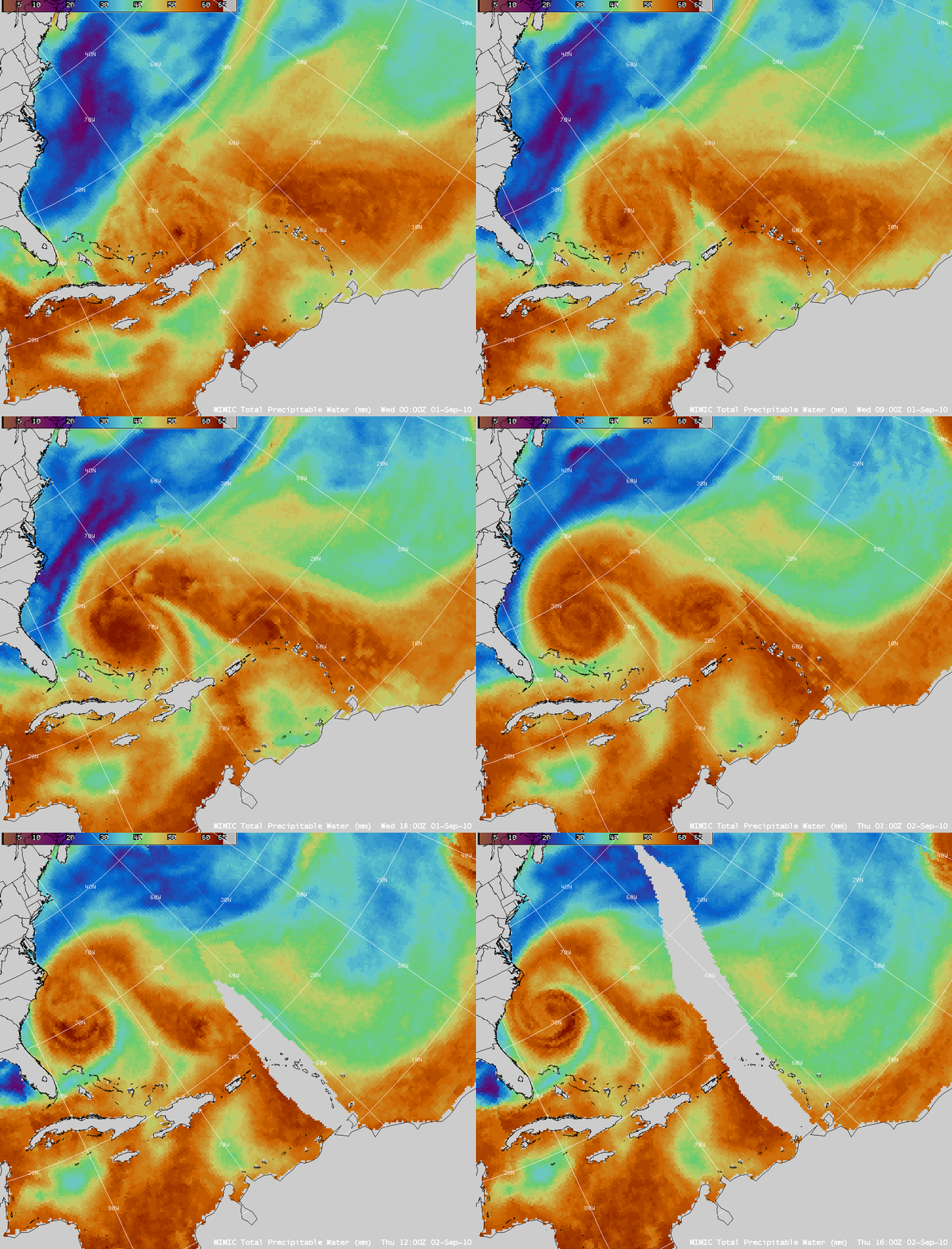
AWIPS images of the MIMIC Total Precipitable Water (TPW) product (below) revealed that a significant plume of TPW was being drawn northward from Tropical Storm Fiona into the circulation of Hurricane Earl. Note to National Weather Service forecast offices: see this site for details on how the CIMSS MIMIC TPW product can be added to your local AWIPS workstations, via Unidata LDM subscription.


