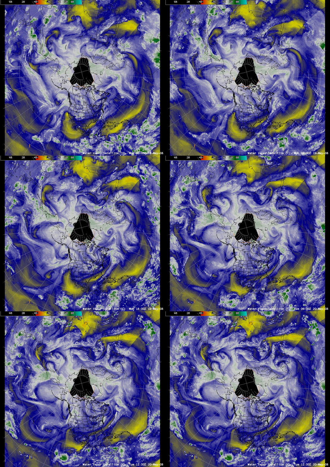
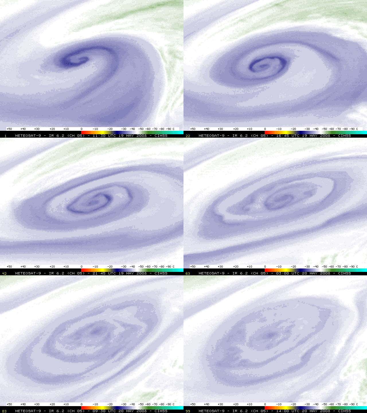
Occluding cyclone over the North Atlantic Ocean
AWIPS images of the water vapor satellite composite (above) showed the evolution of a wide variety of synoptic-scale features across the Northern Hemisphere at 3-hour intervals during the 19 May – 20 May 2008 period. Of particular interest was the water vapor signatures associated with an occluding cyclone over the North Atlantic Ocean (located south of Iceland and west of the British Isles). A closer view using Meteosat-9 images of the 6.2 µm water vapor channel at 15-minute intervals (below) revealed a great deal of interesting mesoscale structure as bands of moist and dry air wrapped into the occluding cyclone as it began to fill .


