Welcome to Space, Meteosat 13!
At 5:04 PM local time (2104 UTC) on 1 July 2025, the newest member of the geostationary ring was launched into orbit. The MTG-S1 satellite (to be renamed Meteosat 13 upon commissioning) represents a first for EUMETSAT: a hyperspectral sounder in geostationary orbit. While EUMETSAT has long supported hyperspectral sounders in low-earth orbit with the Infrared Atmospheric Sounding Interferometer (IASI) aboard the MetOp series of satellites, the Meteosat Third Generation Infrared Sounder (MTG-IRS) will, for the first time, provide continuously updated hyperspectral observations over Europe.
Hyperspectral infrared observations are some of the most impactful inputs into numerical weather models as they contain information about the spatial and vertical distribution of temperature, water vapor, and clouds. Level 2 products will retrieve profiles of temperature, humidity, and other atmospheric characteristics from these spectra.
MTG-IRS promises 1953 channels across the middle and longwave portions of the infrared spectrum. While IASI observes more channels and and a broader, more continuous spectrum, the much improved temporal resolution that is possible from geostationary orbit will enable forecasters to monitor rapidly-evolving environments and scientists to unlock new understanding of key atmospheric processes. The scanning strategy for MTG-IRS involves repeating over a sequence of four local area coverage (LAC) regions. The region over Europe, LAC4, will be sampled every 30 mins, while the other regions will be sampled in small bursts separated by a few hours. For more on MTG-IRS and its scan strategy, visit the Data Guide.
The satellite also supports the Sentinel 4 mission, which will monitor trace gasses and aerosols from geostationary orbit. This will be accomplished through the Ultraviolet-Visible-Near IR (UVN) imaging spectrometer mounted aboard the satellite, which will provide approximately hourly views over Europe. More about Sentinel 4 is available here.
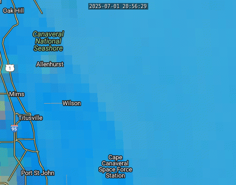
While many EUMETSAT launches are handled by the ESA launch facility in French Guyana (for example, MTG-I1), the launch for this payload was contracted out to Space-X and launched from the Kennedy Space Center. The same launch pad, 39A, that supported flights to the moon and numerous Space Shuttle flights was used for this trip to geostationary orbit. As is common with launches from Kennedy Space Center, this area was well-sampled by a GOES-19 mesoscale scan. The true color view from SSEC Real Earth shows the brief rocket plume that was present right after launch; it dissipated within just a few minutes.
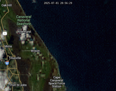
Interestingly enough, the plume is also visible on the SO2 RGB imagery as a distinctly different color than the existing cloud coverage to the southeast. The SO2 signature is also present longer than the visible plume is. Note how there is also a brief flash of the plume in the far upper right corner of the animation right at launch time that is not present on the true color view.
Other satellite signatures of the MTG-S1 launch can be seen in this blog post.
The United States is hoping to launch a geostationary hyperspectral spounding satellite to cover a swath of the western hemisphere with similar capabilities as part of the GeoXO program that will replace the current generation of GOES satellites. The launch is anticipated in the early 2030s and is projected to revolutionize nowcasting, forecasting, and atmospheric science upon becoming operational.