More snow in the Upper Midwest
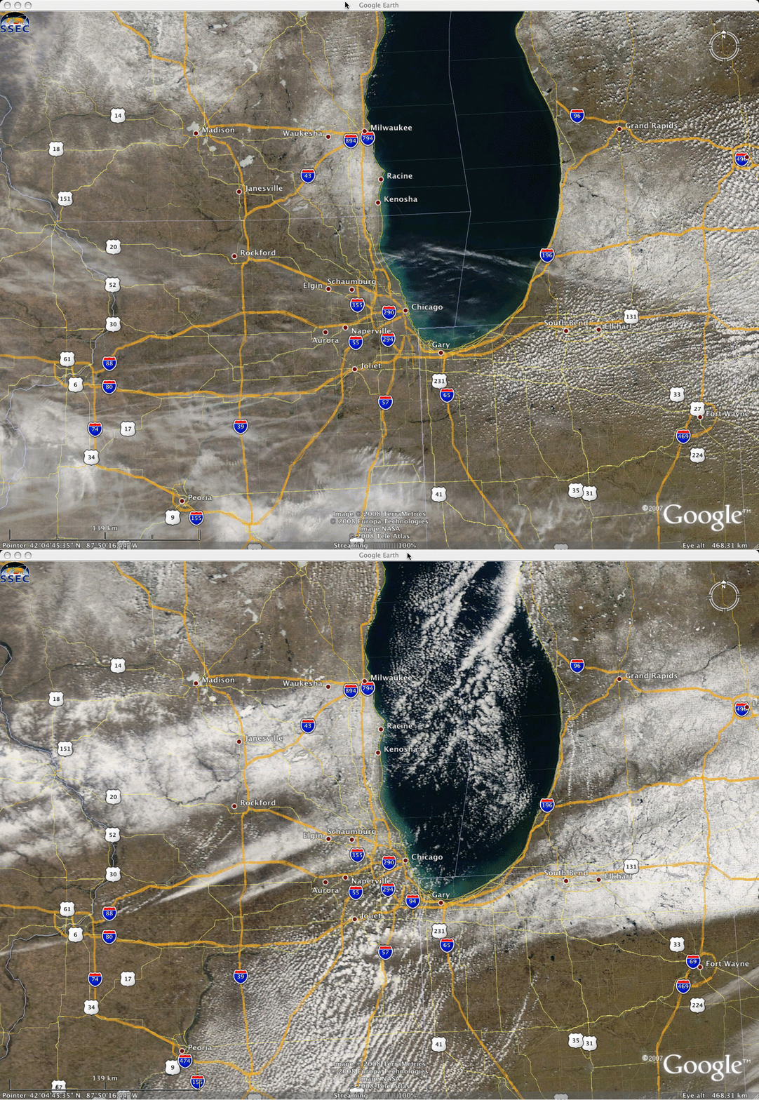
The winter of 2007/2008 has already produced record snowfall (100.7 inches at Madison, Wisconsin, and 76.2 inches at Dubuque, Iowa) or near-record snowfall (107.0 inches at Grand Rapids, Michigan, and 98.9 inches at Milwaukee, Wisconsin) over portions of the Upper Midwest region;Â on 27 March 2008, another 2-6 inches of snow fell across parts of eastern Iowa (4.4 inches at Dubuque), southern Wisconsin (5.7 inches at Palmyra), northern Illinois (3.0 inches at Hebron), southern Michigan (4.0 inches at Hastings), and northern Indiana (2.6 inches at Valparaiso). “Before” and “after” MODIS true color images from the late morning hours on 26 March and 28 March (above, viewed using Google Earth) showed the change in snow cover over the affected areas; the tight gradients and mesoscale structure of the resulting streaks of snow cover help to illustrate the difficulty of predicting snowfall amounts for any given location. Also note that many of the lakes in southern Wisconsin were still frozen (appearing white on the true color imagery).
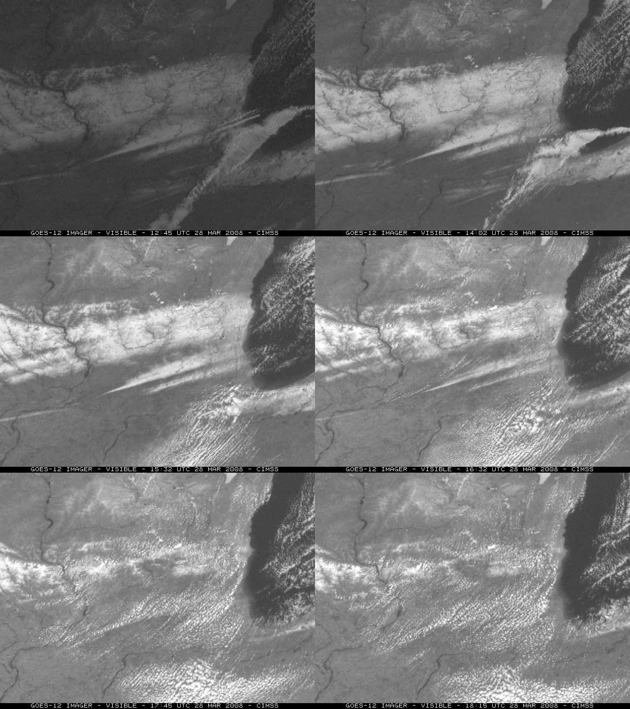
An animation of GOES-12 visible images (below) reveals the power of the late-March high sun angle — even though surface air temperatures remained in the 30s F, some of the bands of fresh snow cover melted very quickly during the morning hours on 28 March.


