Franklin Fire near Malibu, California

1-minute GOES-18 Shortwave Infrared (3.9 µm) images, from 0631-2130 UTC on 10th December [click to play MP4 animation]
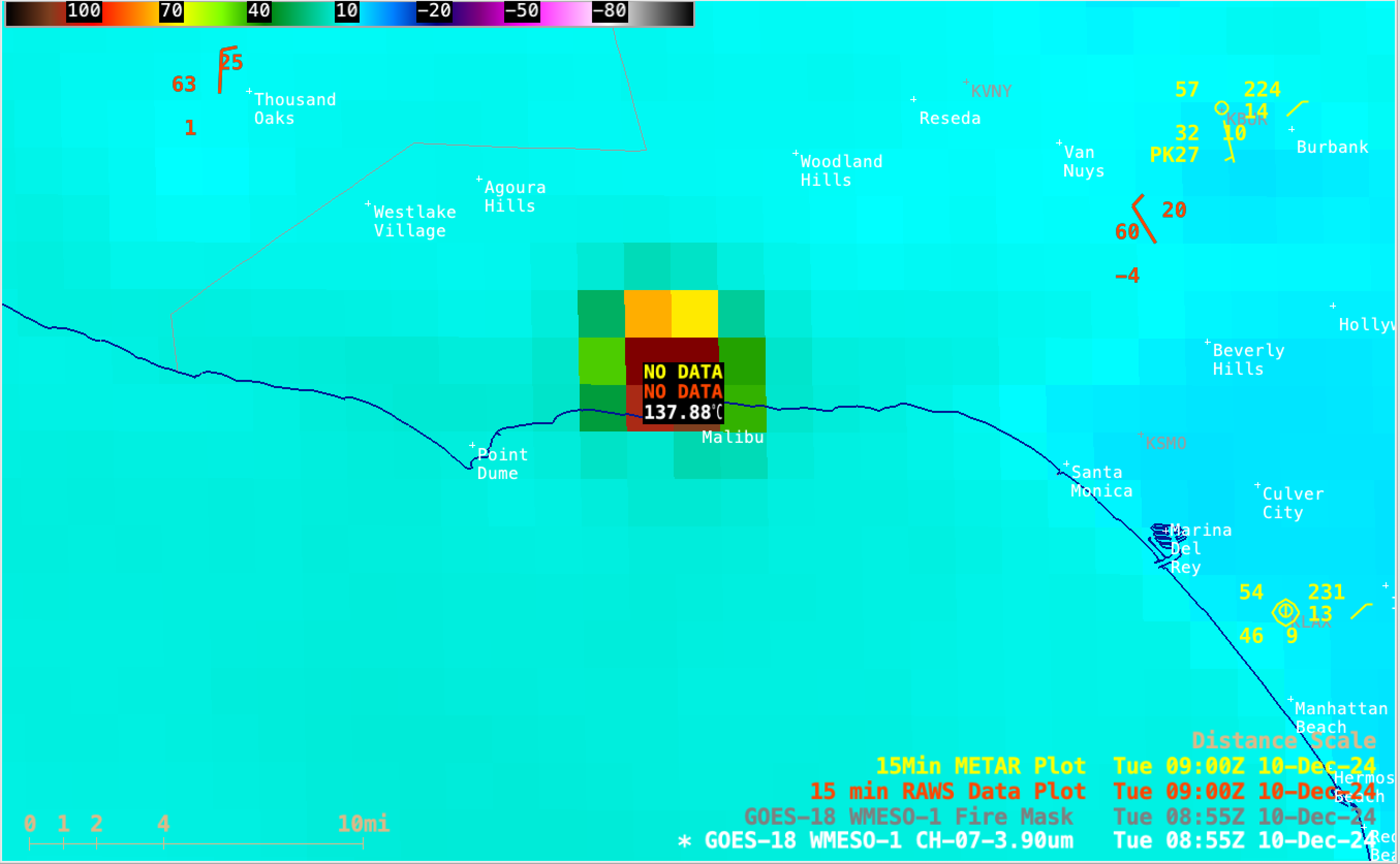
Sample of GOES-18 Shortwave Infrared (3.9 µm) brightness temperature NW of Malibu at 0855 UTC on 10th December [click to enlarge]
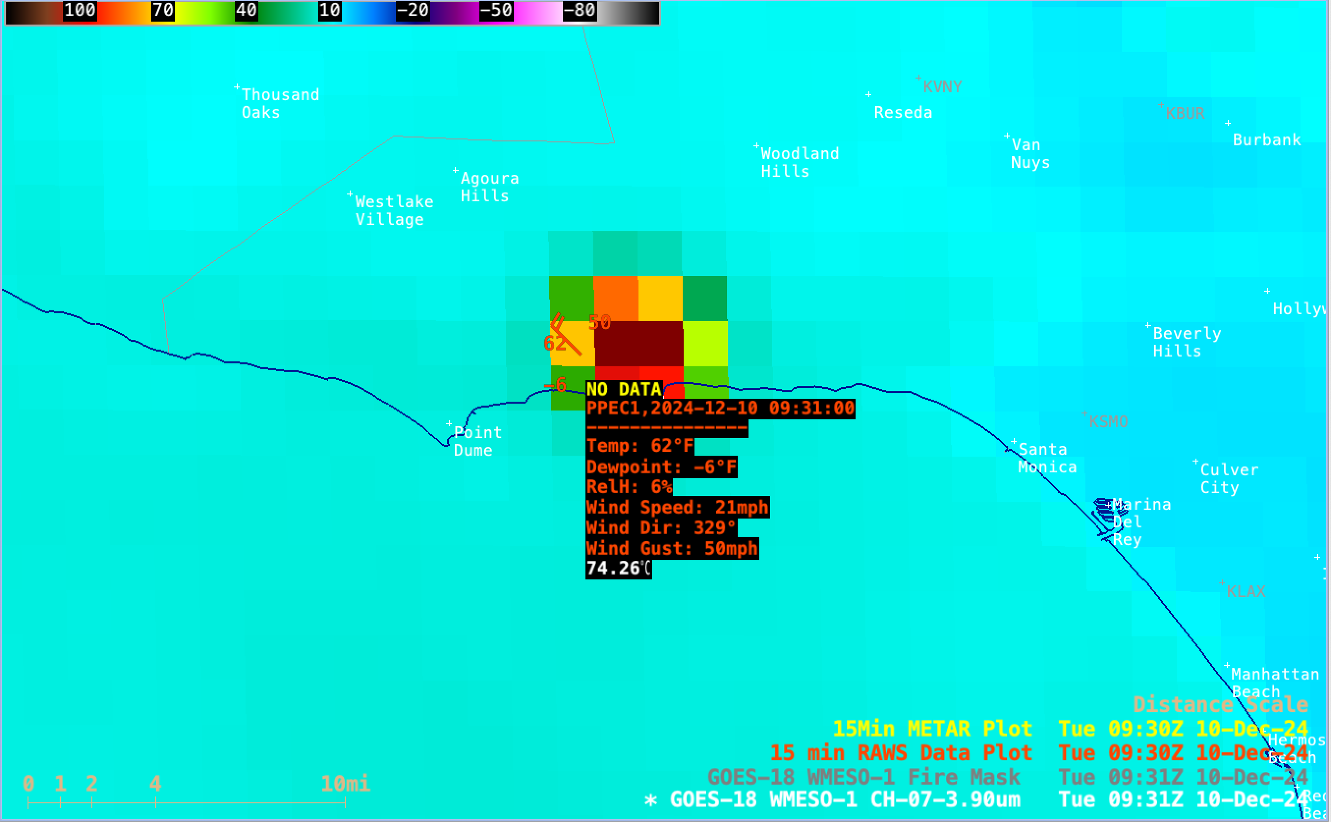
GOES-18 Shortwave Infrared image at 0656 UTC, with a sample of RAWS site observation data just east of the Franklin Fire [click to enlarge]
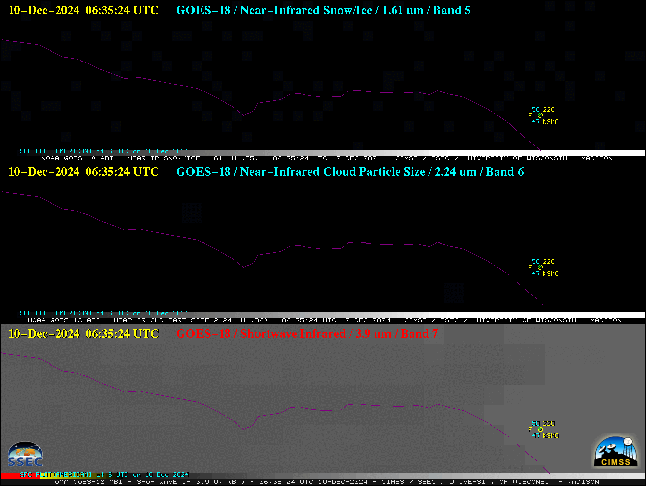
1-minute GOES-18 Near-Infrared (1.61 µm and 2.24 µm, top and middle) and Shortwave Infrared (3.9 µm, bottom) images, from 0635-1430 UTC on 10th December [click to play animated GIF | MP4]

1-minute GOES-18 True Color RGB images, from 1530-2359 UTC on 10th December [click to play MP4 animation]