1-minute imagery to monitor deep convection for flooding potential across American Samoa

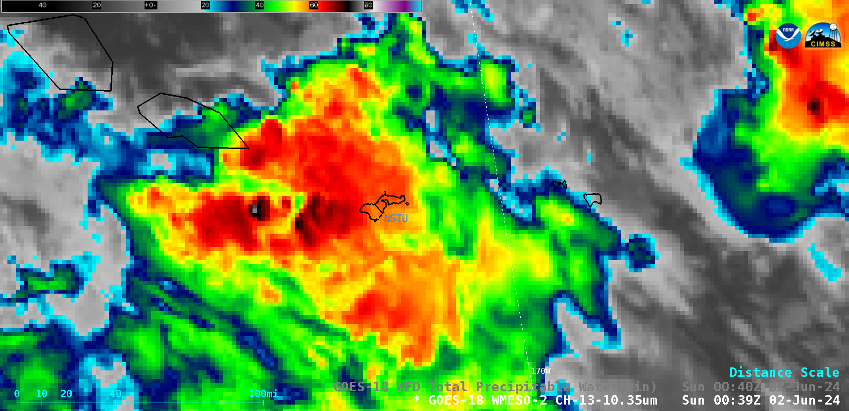
1-minute GOES-18 “Clean” Infrared Window (10.3 µm) images, from 0127 UTC on 01 June to 0059 UTC on 02 June; NSTU denotes the location of Pago Pago, American Samoa [click to play MP4 animation]
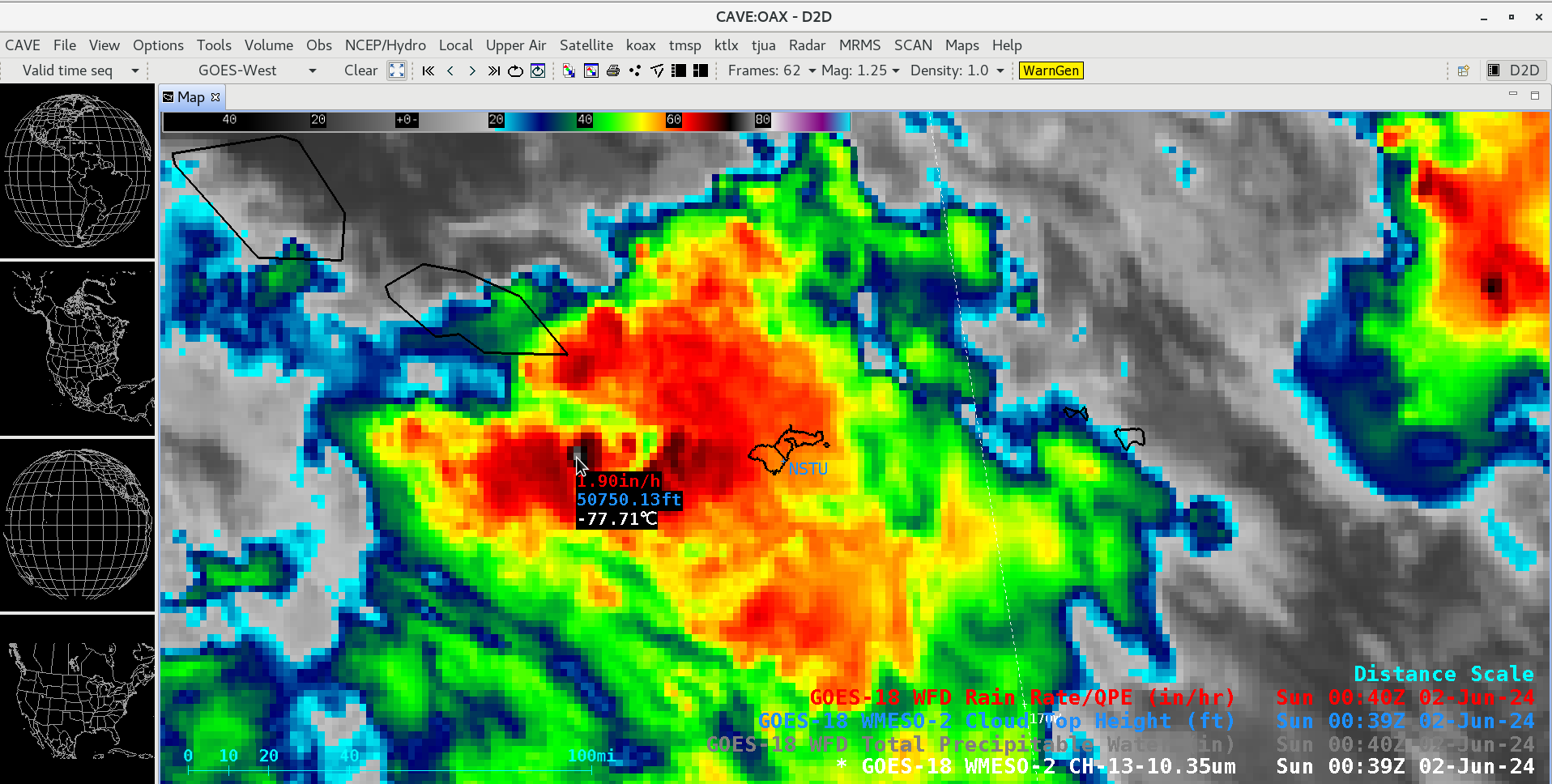
A GOES-18 Infrared image showing a cold (-77.71ºC) thunderstorm overshooting top (not far to the west of American Samoa) at 0039 UTC on 02 June (below) included a cursor sample of the associated GOES-18 Cloud Top Height (50750 ft) and Rain Rate (1.90 in/hr) derived products at that location.

GOES-18 “Clean” Infrared Window (10.3 µm) image showing a cold thunderstorm overshooting top west of American Samoa at 0039 UTC on 02 June, which includes a cursor sample of the associated GOES-18 Cloud Top Height (blue) and Rain Rate (red) derived products [click to enlarge]

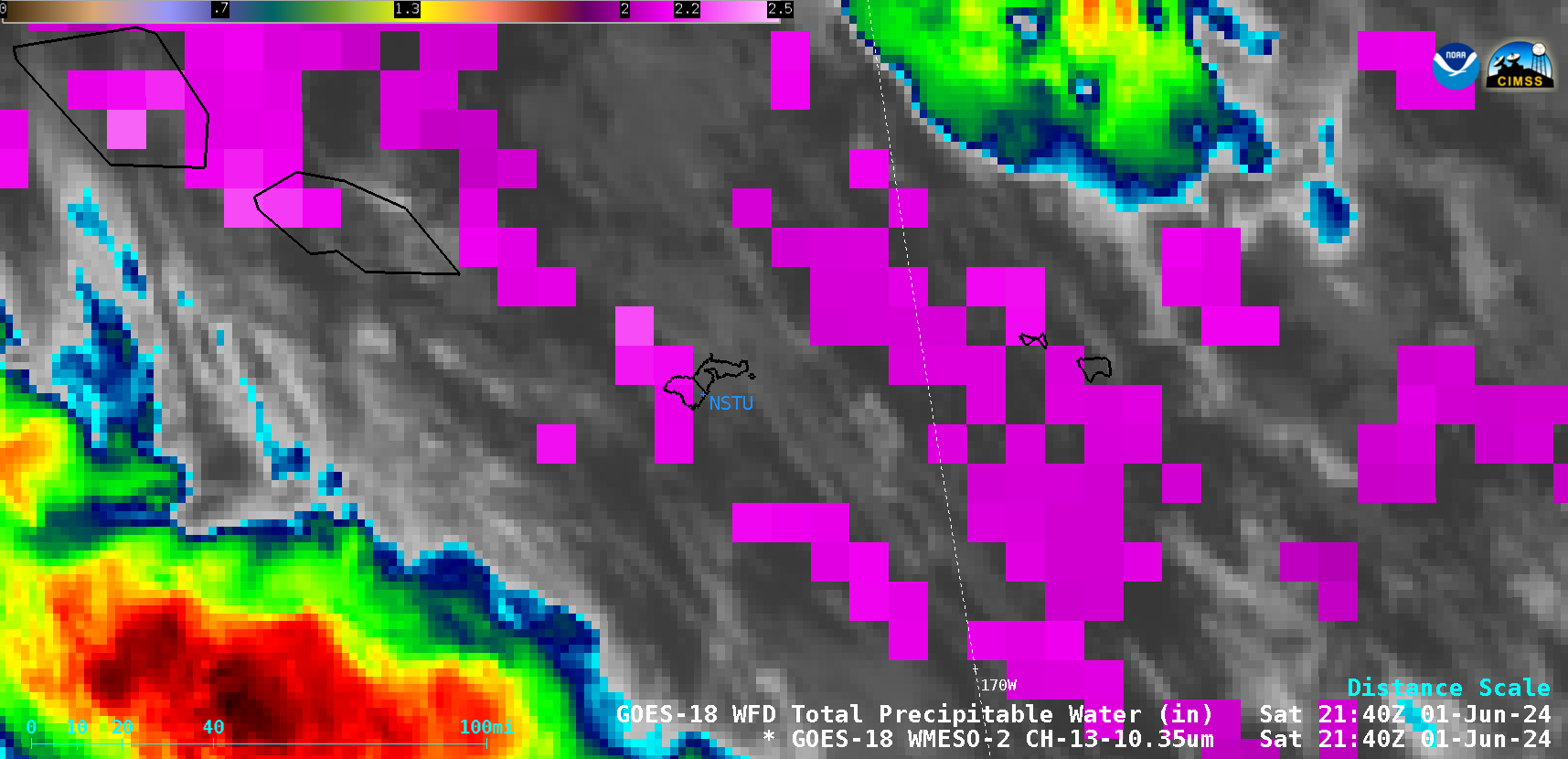
1-minute GOES-18 “Clean” Infrared Window (10.3 µm) images combined with the 10-minute Total Precipitable Water derived product (in cloud-free regions), from 1859 UTC on 01 June to 0000 UTC on 02 June; NSTU denotes the location of Pago Pago, American Samoa [click to play animated GIF | MP4]


