Snow vs stratus cloud discrimination
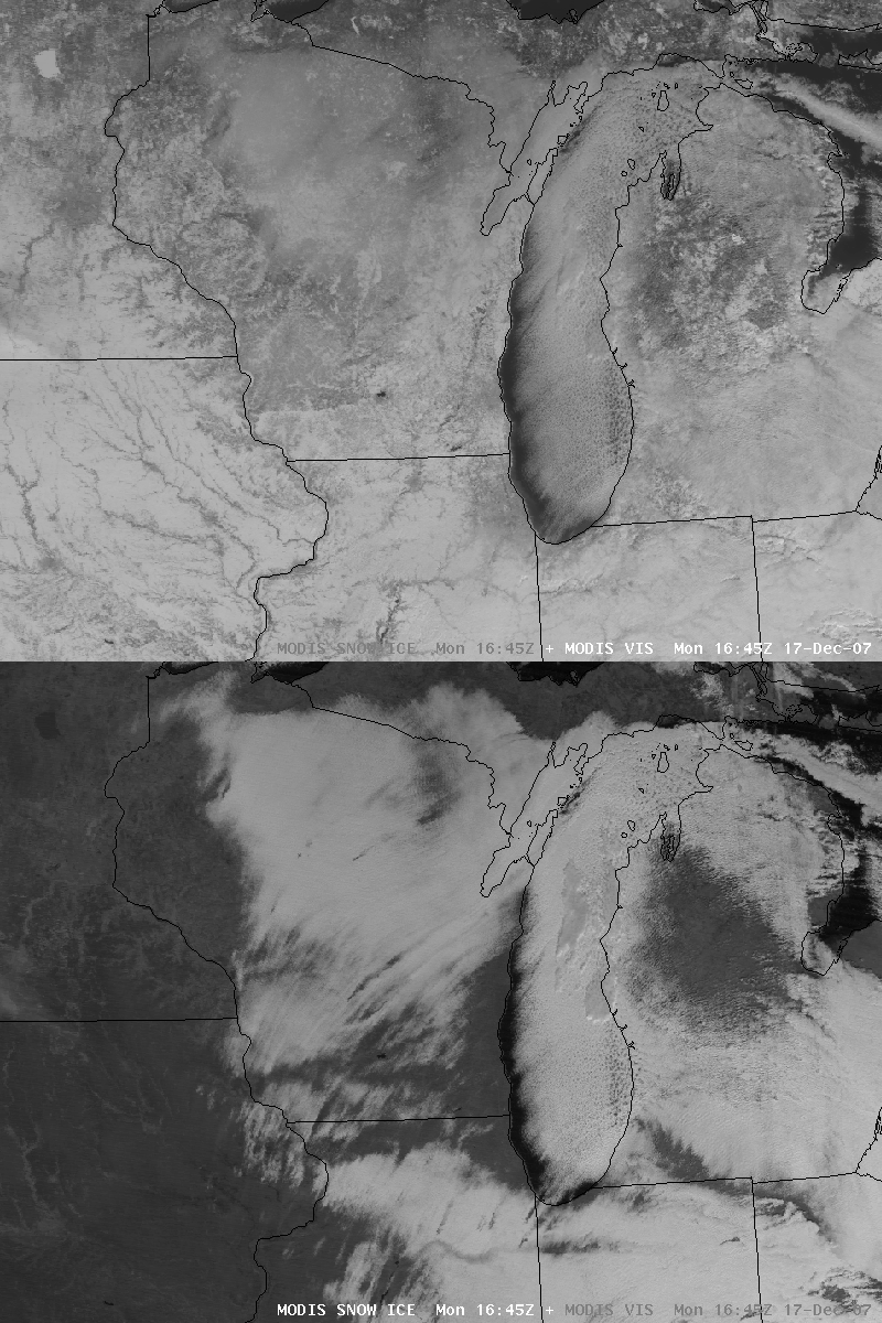
AWIPS images of the MODIS visible and 1.6 µm “snow/ice channel” images from 17 December 2007 (above) demonstrate the utility of the snow/ice channel for helping to identify areas of thin supercooled water droplet stratus clouds that exist over a snow-covered satellite scene (this MODIS imagery was mentioned in the NWS Milwaukee/Sullivan Area Forecast Discussion that afternoon). Note the semi-transparent nature of many of the stratus cloud patches, which allowed surface features (such as rivers, cities, and densely-forested areas) to be seen on the visible image.
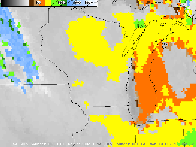
The GOES-12 sounder Cloud Top Height product (below) suggested that the tops of the thicker stratus cloud areas located over northern Wisconsin and northern Illinois were 9000-9800 feet above ground level (yellow enhancement). Surface METAR data under those same cloud features indicated that the cloud bases were only 300-800 feet above ground level; so if the stratus clouds were really close to 9000 feet thick, it was remarkable to be able to see hints of surface features through such a cloud layer!


