“Black stratus” over the Upper Midwest
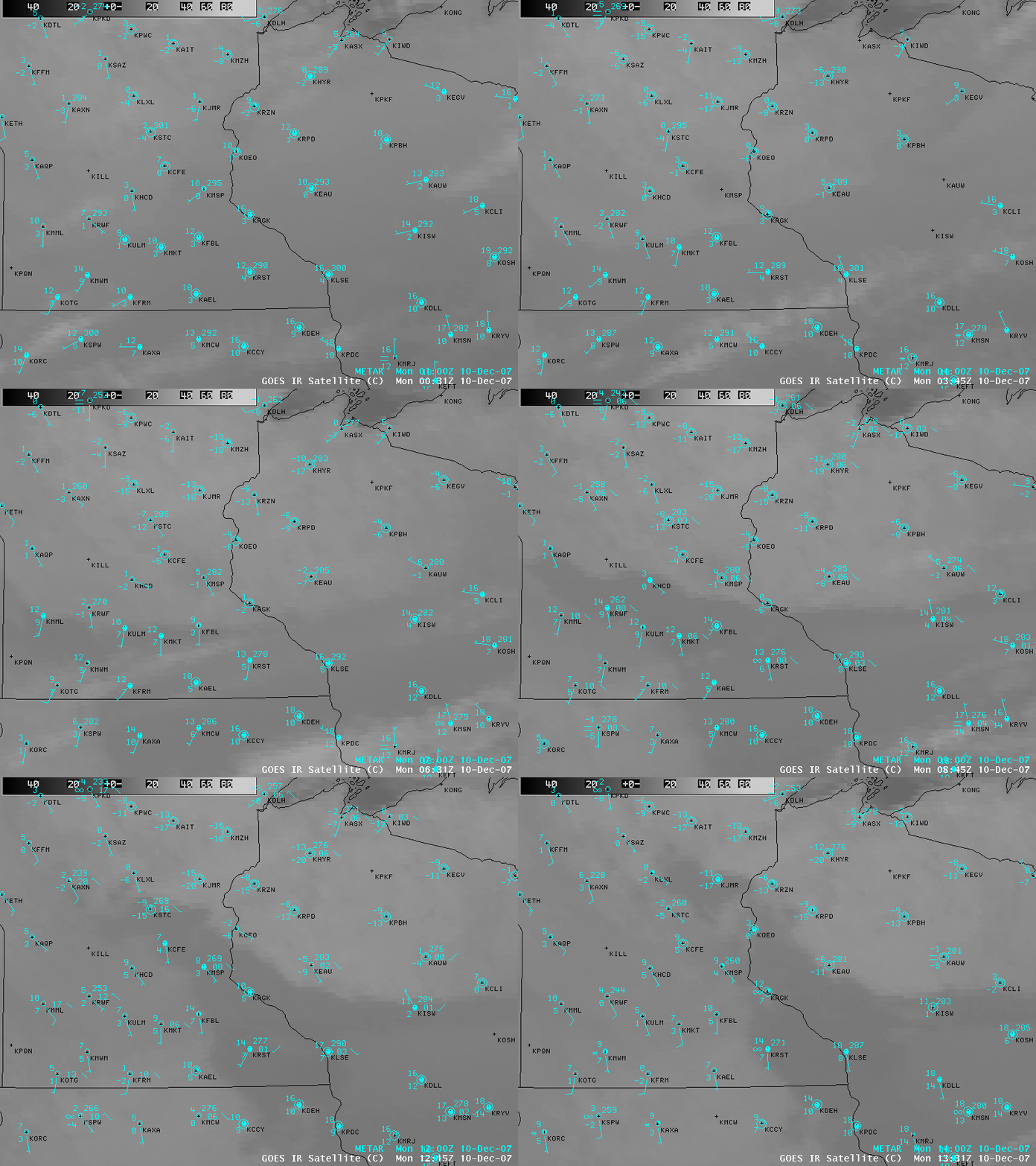
AWIPS images of the GOES-10 10.7 µm IR channel (above) showed a patch of low-level stratus cloud drifting north-northeastward across Iowa, Minnesota, and Wisconsin on 10 December 2007. Note how the tops of the cloud feature appeared warmer (darker gray enhancement) than the adjacent cloud-free (but snow-covered) areas; the term “black stratus” was coined to describe the appearance of these cloud features on grayscale IR imagery. Strong radiational cooling during the night-time hours created a well-defined boundary layer temperature inversion, making the altitude of the stratus cloud tops several degrees C warmer than the surface.
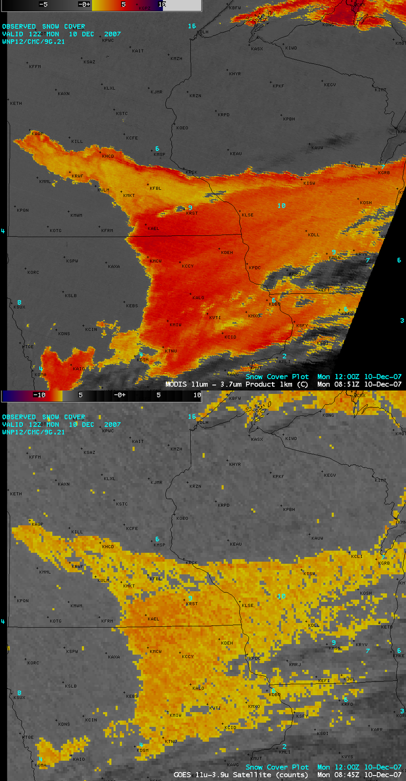
On the comparison of MODIS and GOES-10 “fog/stratus product” images (below), the MODIS image in particular suggested that the leading edge of the stratus cloud feature was notably thicker (orange to red enhancement). This thicker cloud edge may have acted to dramatically slow radiational cooling as the cloud deck moved overhead — in fact, surface temperatures (above) were seen to warm by several degrees F when the cloud feature was overhead.


