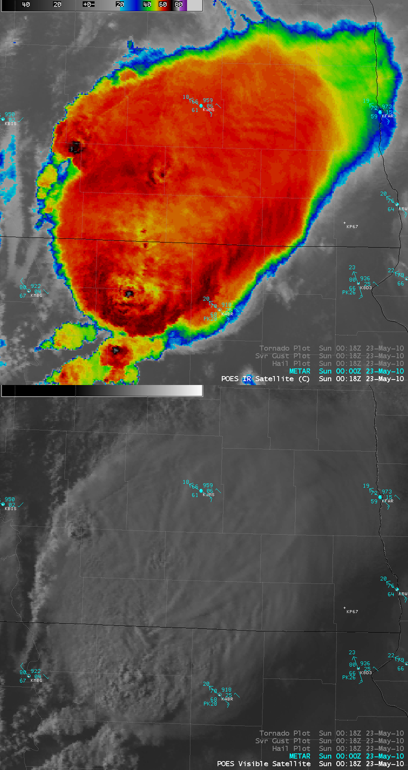
Violent “wedge” tornado in South Dakota
AWIPS images of the 1-km resolution POES AVHRR 11.0 µm IR channel data (above) showed a detailed view of the severe thunderstorm that produced a very large and violent “wedge” tornado that was responsible for EF4 damage in northeastern South Dakota on 22 May 2010. The coldest IR brightness temperature on the image was -77º C. An overlay of the corresponding SPC storm reports is also shown; this storm also produced hail up to 1.75 inch in diameter.
A comparison of the AVHRR IR image with the corresponding 0.63 µm visible channel image (below) revealed a large storm top plume that appeared to be spreading out northeastward from one of the overshooting tops located near the South Dakota / North Dakota border.


