Eruption of Mount Marapi in West Sumatra
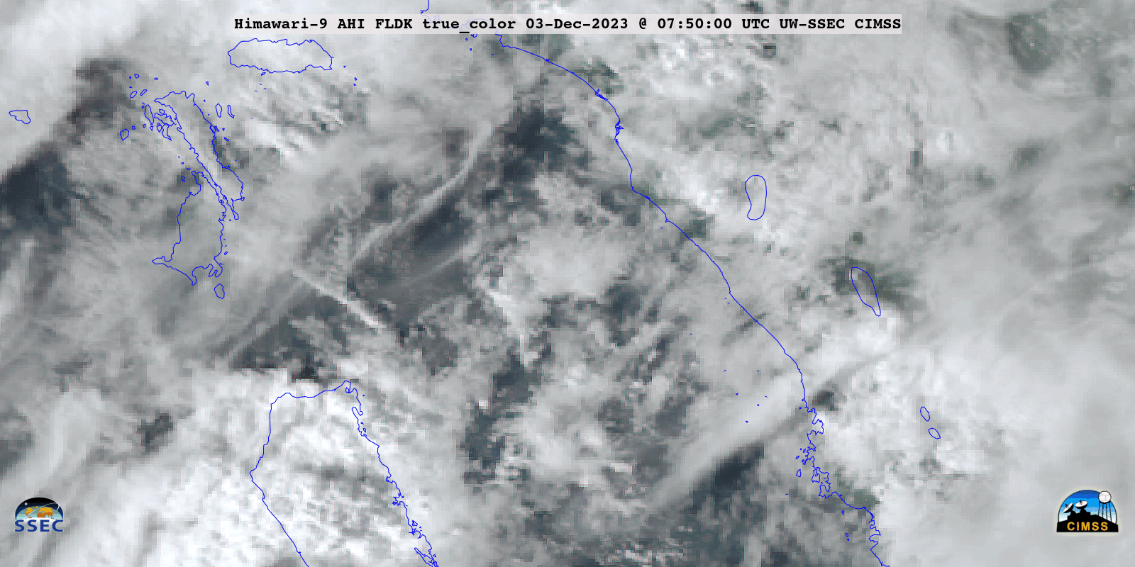
JMA Himawari-9 True Color RGB images, from 0750 UTC to 1050 UTC on 03 December [click to play animated GIF | MP4]
A radiometrically retrieved Volcanic Ash Height product from the NOAA/CIMSS Volcanic Cloud Monitoring site (below) indicated that maximum ash heights were in the 14-16 km range.
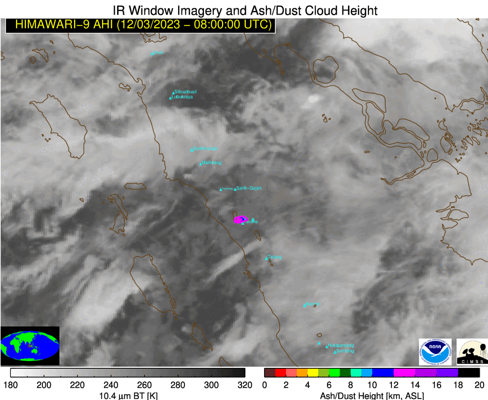
Volcanic Ash Height derived product [click to play animated GIF | MP4]
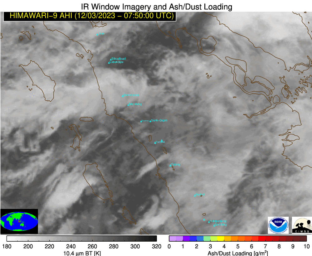
Volcanic Ash Loading derived product [click to play animated GIF | MP4]
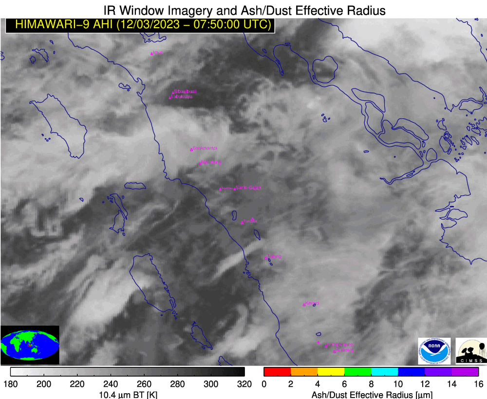
Volcanic Ash Effective Radius derived product [click to play animated GIF | MP4]
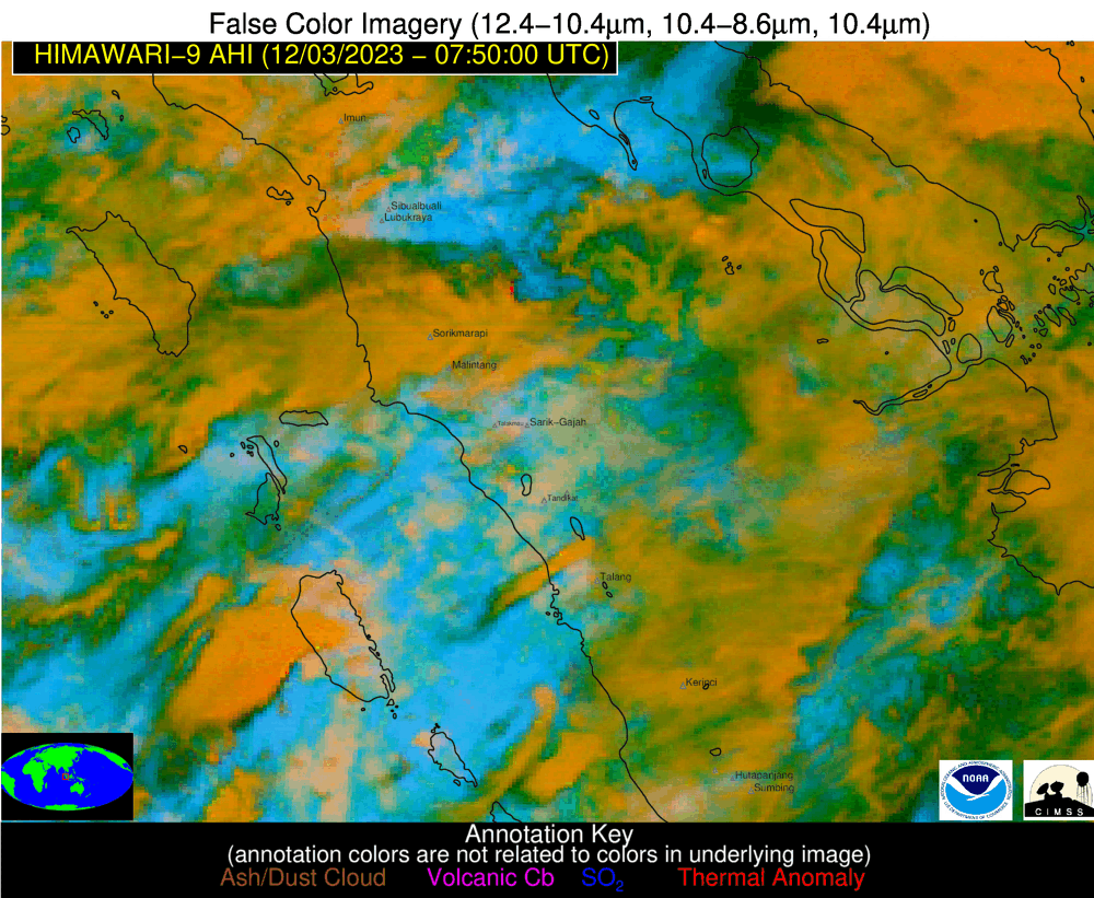
Himawari-9 False Color RGB images [click to play animated GIF | MP4]