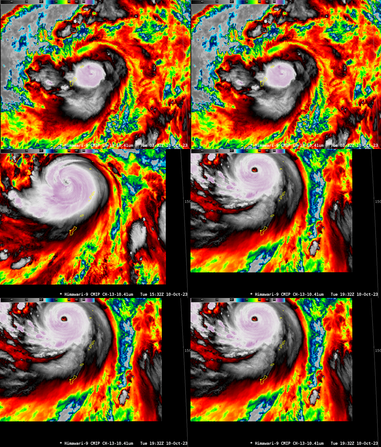
Direct Broadcast imagery from the Guam Antenna of Bolaven
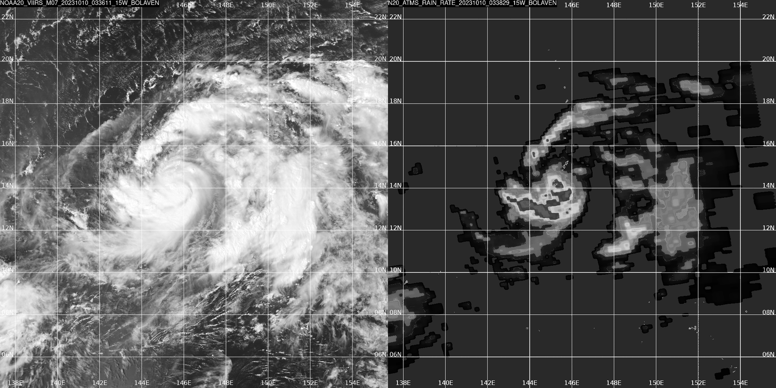
The direct broadcast antenna at the NWS forecast office on Guam processed important information to show details of Typhoon Bolaven as it passed through the Marianas Islands on 10 October. The toggle above compares VIIRS band M07 (0.865 ) and Rain Rate derived from ATMS imagery at 0338 UTC, when the typhoon was east of Guam. It passed between Rota and Tinian just after 0900 UTC, based on this graphic from the Joint Typhoon Warning Center. The storm at the time was moving through a region of low shear (shear image from the SSEC/CIMSS Tropical Weather Website).
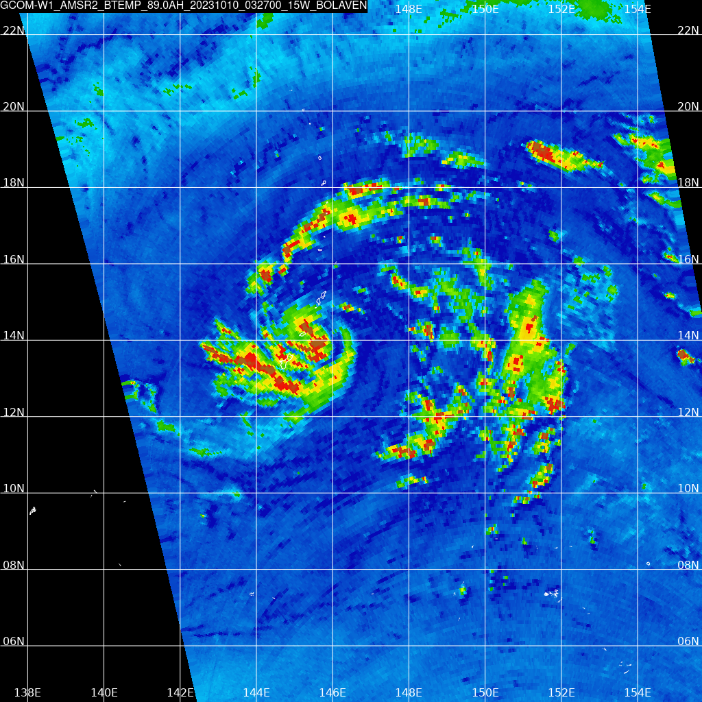
GCOM-W1 overflew Guam shortly before NOAA-20. The 89-GHz image from that overpass is shown below. THis image in combination with the rain rate image above might convince you that Bolaven at this time was storm with an asymmetric distribution of precipitation, with much of the precipitation in the western quadrant of the storm.
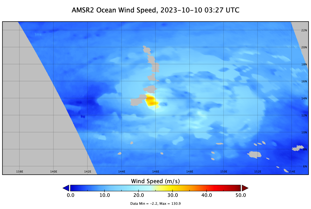
CSPP software includes GAASP software used to compute winds, and the derived windspeeds from the AMSR-2 observations are shown below (in a display rendered by Panoply). The strongest winds are in the western half of the storm.
At present, Bolaven is strengthening as it pulls away from the Marianas. For more information on the storm, consult the CIMSS Tropical Website, the JTWC website and the RSMC in Tokyo. Thanks to Doug Schumacher, CIMSS, for slacking me these images!
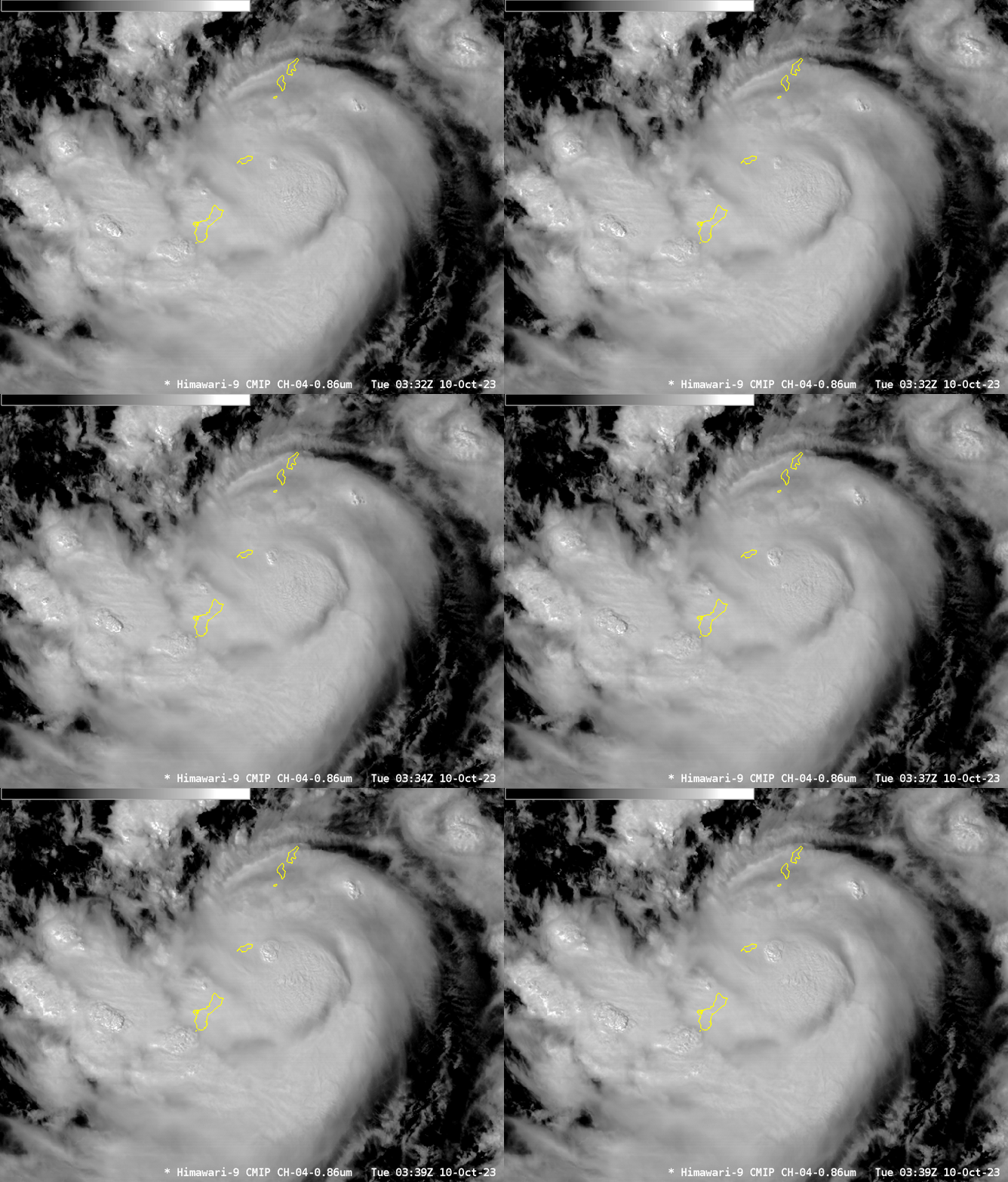
Himawari-9 is, of course, staring at Guam. The 4 Target sector images below show Band 4 (0.86 µm) from 0332-0339, bracketing the NOAA-20 overpass. The combination of geostationary satellites and polar orbiting satellites allows a user to access the strengths of both.
Bolaven underwent a remarkable transformation subsequent to its passage through the Marianas, as shown below. By 1932 UTC, a distinct eye is apparent! The 2100 UTC advisory from JTWC reports a storm with 100-knot winds, up from 70 knots at 0600 UTC!
