This website works best with a newer web browser such as Chrome, Firefox, Safari or Microsoft Edge. Internet Explorer is not supported by this website.

Category: GCOM-W1

Ongoing Kona Low Brings Significant Flooding to Hawaii

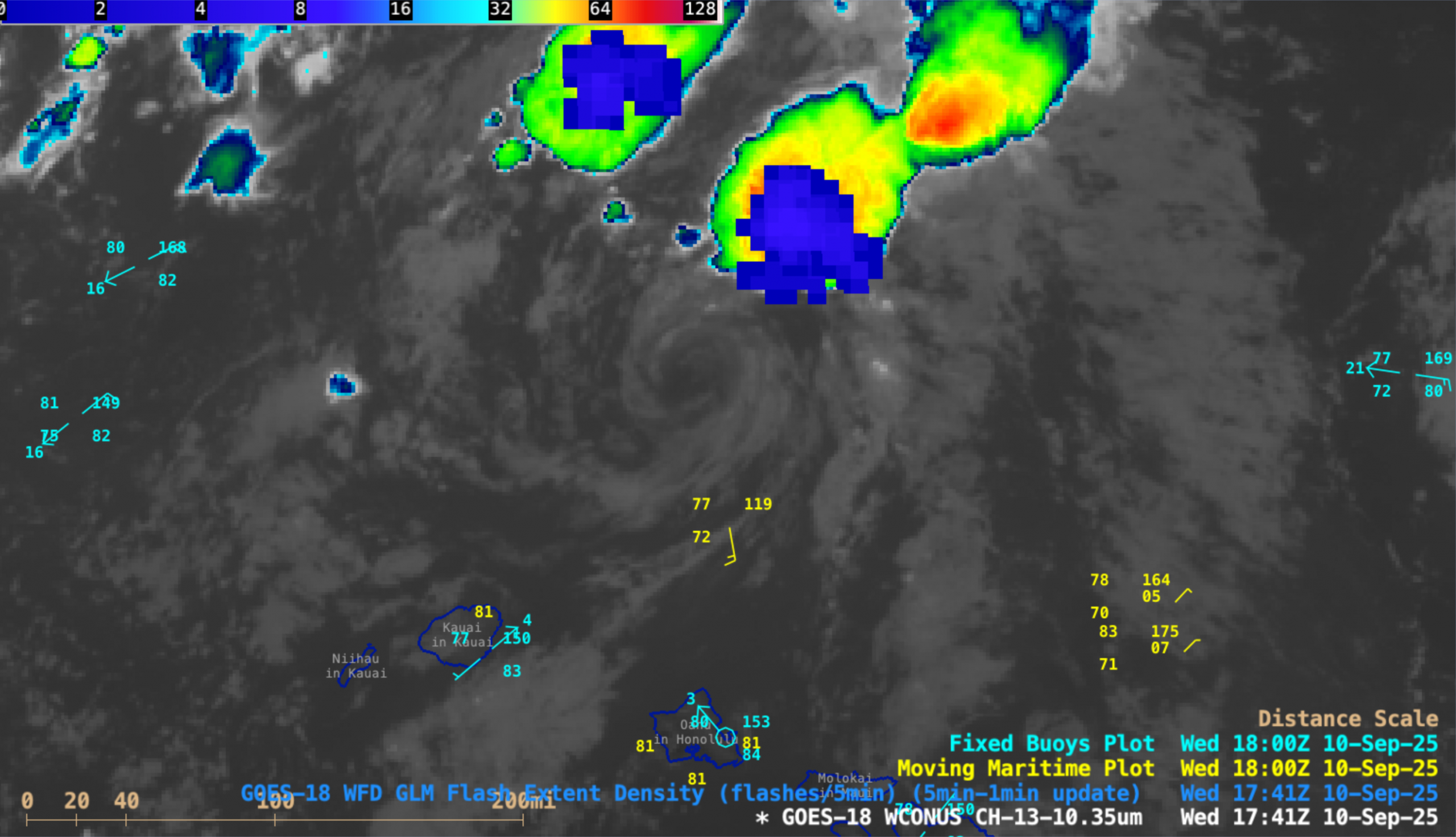
A persistent Kona low coupled with strong water vapor transport from an atmospheric river has brought devastating floods to the state of Hawaii in late March 2026. Rain totals over the past ten days have exceeded 40 inches in some locations, prompting evacuation orders for thousands. Over two hundred people... Read More

Tehuano gap wind event

As a strong arctic cold front moved southward across the Gulf of Mexico toward southern Mexico on 12 March 2026, the cold front fractured as it moved inland across Mexico’s Isthmus of Tehuantepec — the cold air was then channeled southward through Chivela Pass and emerged as a Tehuano (or “Tehuantepecer“)... Read More

Post-Tropical Cyclone Kiko north of Hawai’i

5-minute CONUS Sector GOES-18 (GOES-West) Infrared images (above) revealed the exposed low-level circulation center (LLCC) of Tropical Storm Kiko as the system continued to weaken north of the Hawaiian island of Oahu, and downgraded to a Post-Tropical Cyclone at 1500 UTC on 10 September 2025. Clusters of deep convection developed north... Read More