By Scott Bachmeier •
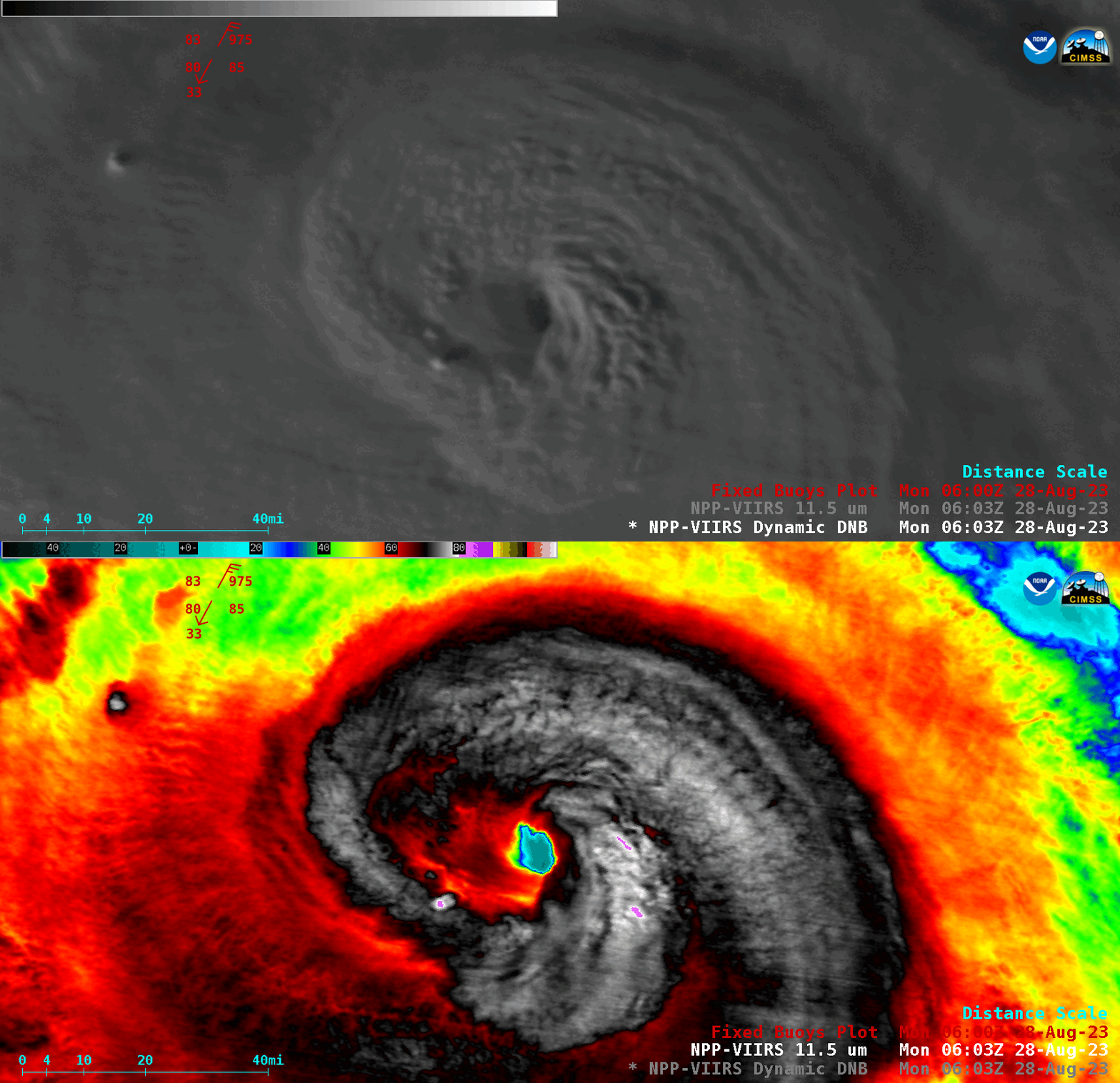
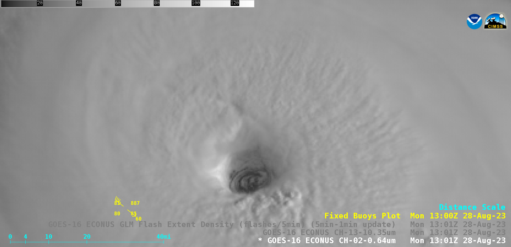
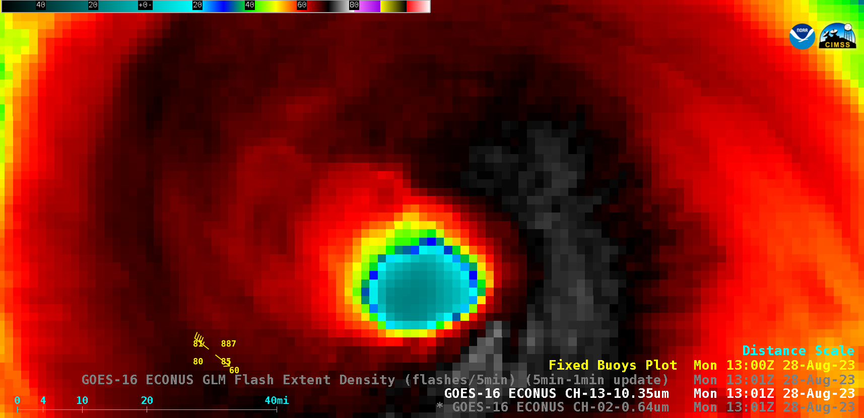
A toggle between NOAA-20 (mislabeled as NPP) VIIRS Day/Night Band (0.7 µm) and Infrared Window (11.45 µm) images valid at 0612 UTC on 28 August 2023 (above) showed Hurricane Franklin a few hours before it reached Category 3 intensity. Franklin rapidly intensified to Category 4 intensity as of 1200 UTC — animations of GOES-16 (GOES-East) “Red” Visible (0.64 µm) images, with/without an overlay of GLM Flash Extent Density (above) and “Clean” Infrared Window (10.3 µm) images (below) showed the hurricane as it moved away from Buoy 41047 during the 1201-1701 UTC period. Abundant lightning activity was seen within the eyewall region — and mesovortices were evident within the eye.Categories: GLM, GOES-16, Lightning, NOAA-20, Tropical cyclones, VIIRS