Blowing dust across Mongolia and China

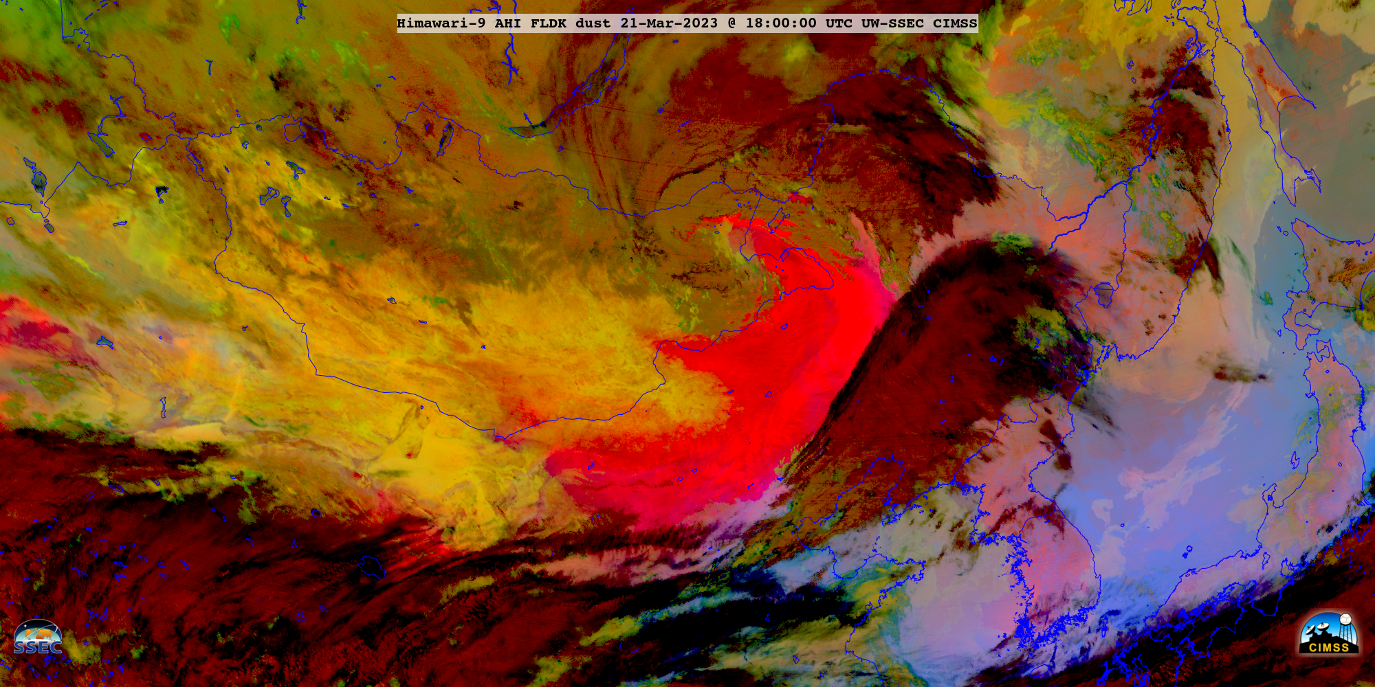
Himawari-9 Dust RGB images, from 2100 UTC on 20 March to 2350 UTC on 22 March [click to play MP4 animation]
A longer Dust RGB animation showed an additional pulse of blowing dust originating from the Taklamakan Desert on 19 March.
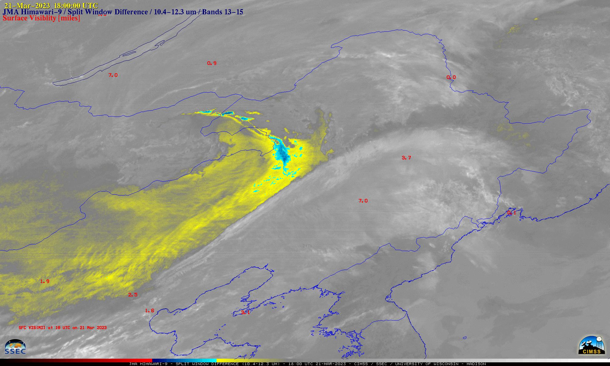
The Himawari-9 Split Window Difference product (below) showed that this blowing dust (brighter shades of yellow to cyan/blue to red) restricted the surface visibility to 1 mile or less at some sites during the period from 0000 UTC on 21 March to 0000 UTC on 23 March.

Himawari-9 Split Window Difference product, from 0000 UTC on 21 March to 0000 UTC on 23 March [click to play animated GIF | MP4]

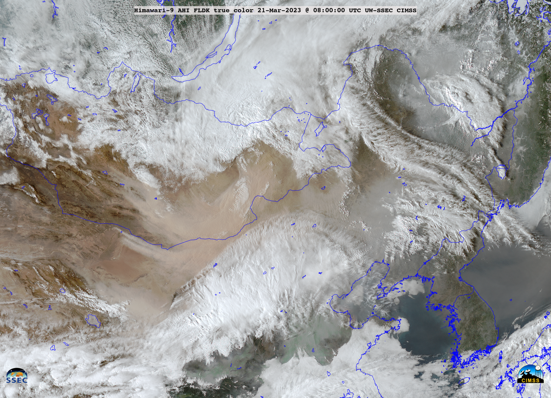
Himawari-9 True Color RGB images, from 2210 UTC on 20 March to 0950 UTC on 21 March [click to play animated GIF | MP4]

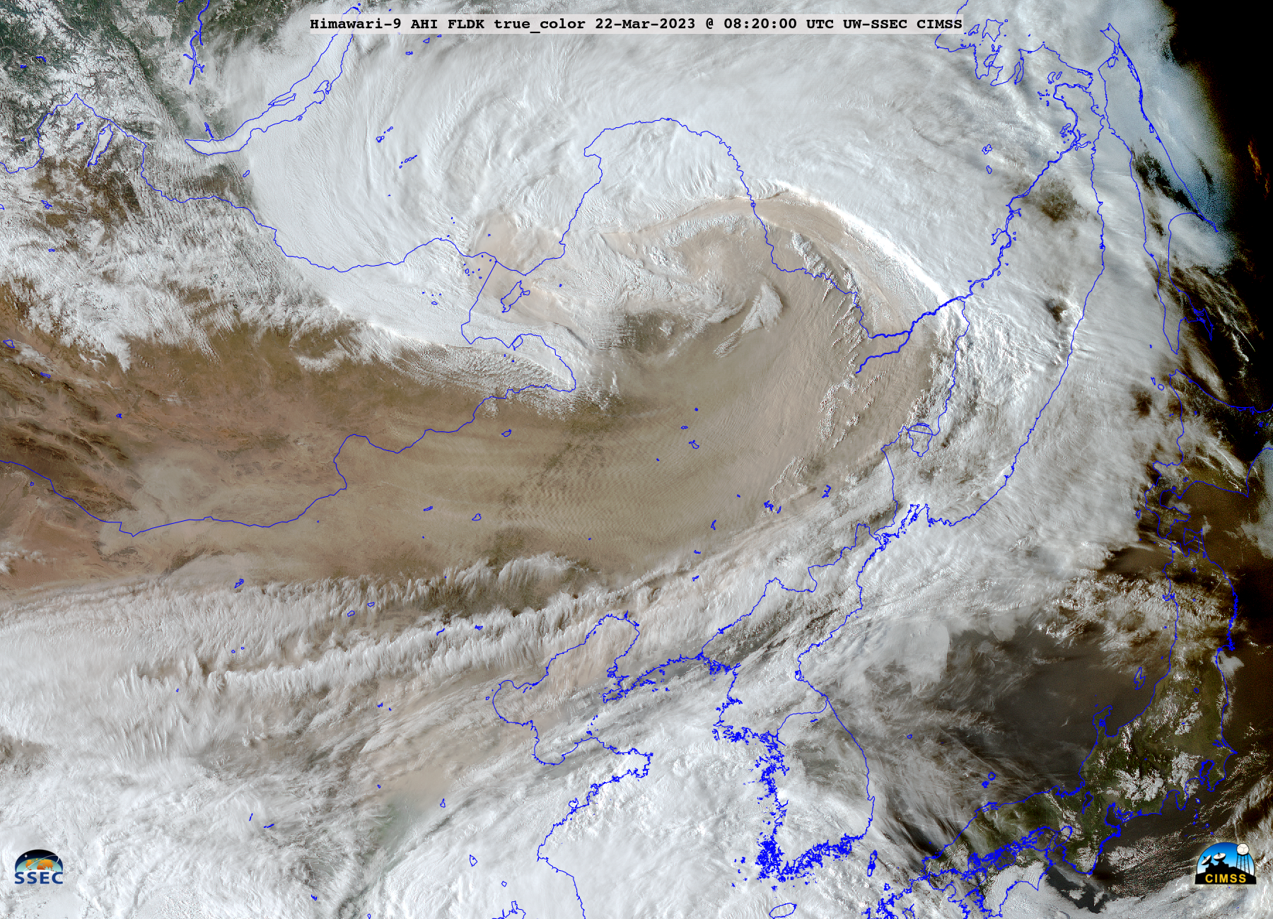
Himawari-9 True Color RGB images, from 2210 UTC on 21 March to 0950 UTC on 22 March [click to play animated GIF | MP4]

