Wildfires in New Mexico, with blowing dust and severe thunderstorms in the Plains

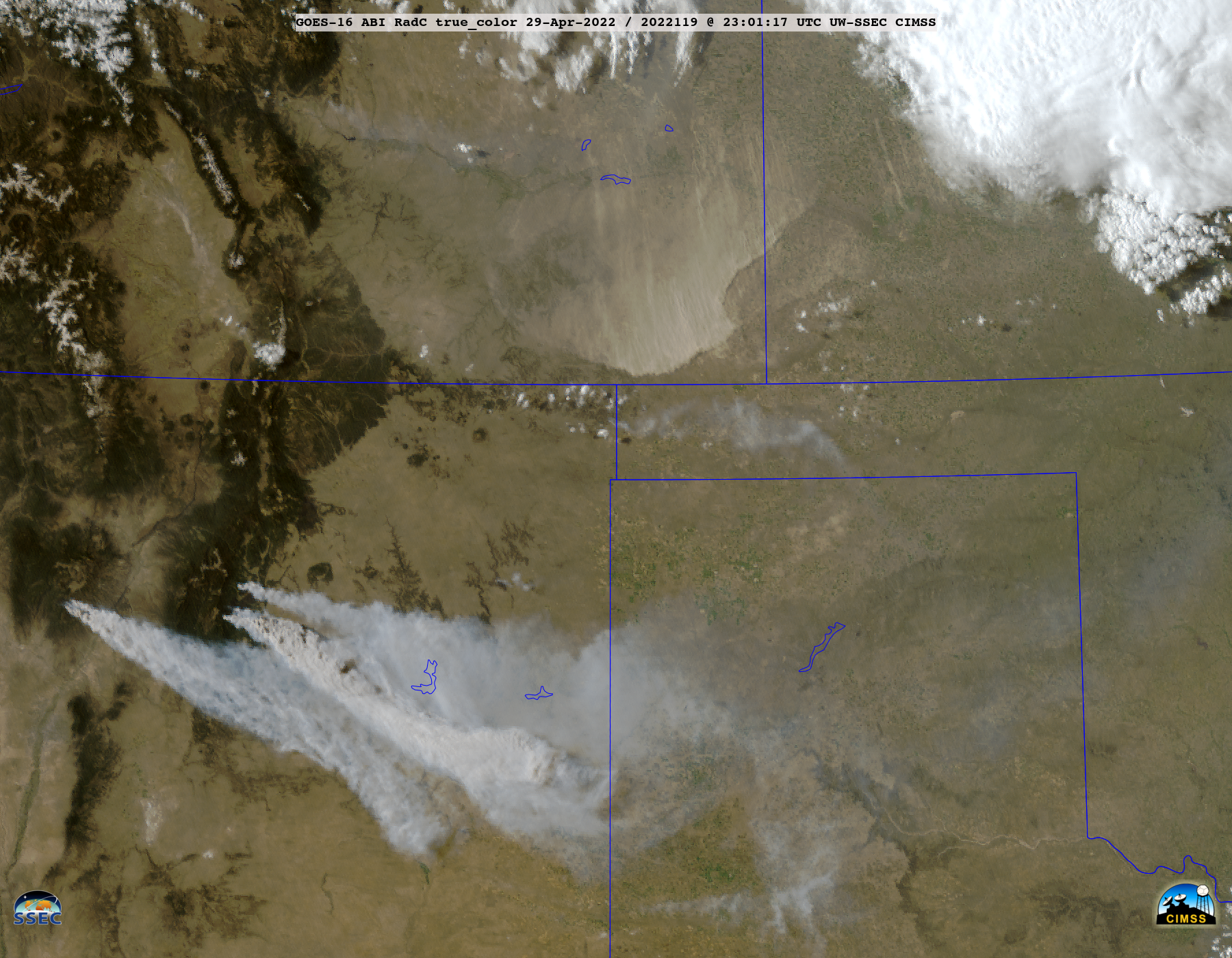
GOES-16 True Color RGB images [click to play animated GIF | MP4]
GOES-16 (GOES-East) True Color RGB images created using Geo2Grid (above) revealed dense smoke plumes moving southeastward from wildfires in New Mexico, while blowing dust plunged southward from Colorado/Kansas (along and behind a cold front) on 29 April 2022.
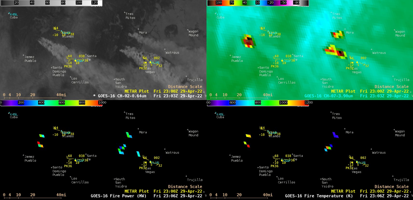
Taking a closer look at the New Mexico wildfires using 1-minute Mesoscale Domain Sector GOES-16 “Red” Visible (0.64 µm) and Shortwave Infrared (3.9 µm) images along with 5-minute Fire Power and Fire Temperature products (below), the smoke plume point sources and thermal signatures of these 3 fires could be seen in great detail. Downwind of one of the fires, smoke restricted the surface visibility to 1-3/4 mile at Las Vegas (KLVS). 3.9 µm Shortwave Infrared brightness temperatures of the 2 larger fires reached 138.71ºC — which is the saturation temperature of ABI Band 7 detectors. The Fire Temperature and Fire Power derived products are components of the GOES Fire Detection and Characterization Algorithm FDCA.

GOES-16 “Red” Visible (0.64 µm, top left), Shortwave Infrared (3.9 µm, top right), Fire Power (bottom left) and Fire Temperature (bottom right) [click to play animated GIF | MP4]
——————————————————————————————————–

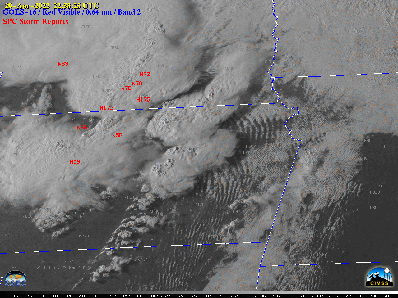
GOES-16 “Red” Visible (0.64 ) images, with time-matched SPC Storm Reports plotted in red [click to play animated GIF | MP4]
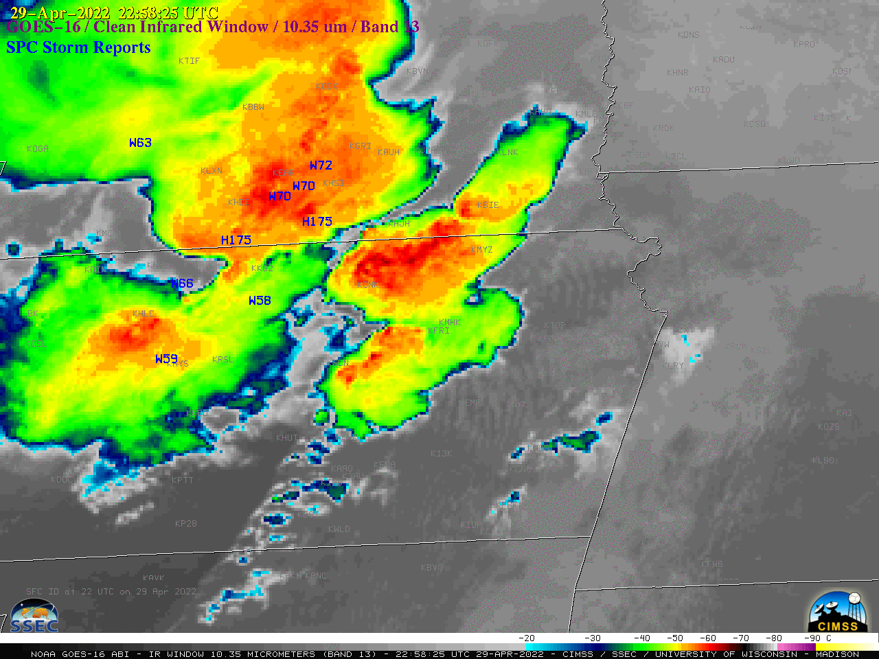
Finally, to the east and northeast across the central Plains, severe thunderstorms developed which produced several tornadoes, hail up to 4.00 inches in diameter and wind gusts to 91 mph — 1-minute GOES-16 Visible images (above) and Infrared images (below) include time-matched plots of SPC Storm Reports. One of the tornadoes caused EF-3 damage in Andover, Kansas (further discussed here).

GOES-16 “Clean” Infrared Window (10.35 ) images, with time-matched SPC Storm Reports plotted in blue [click to play animated GIF | MP4]

