Blowing snow across the North Slope of Alaska

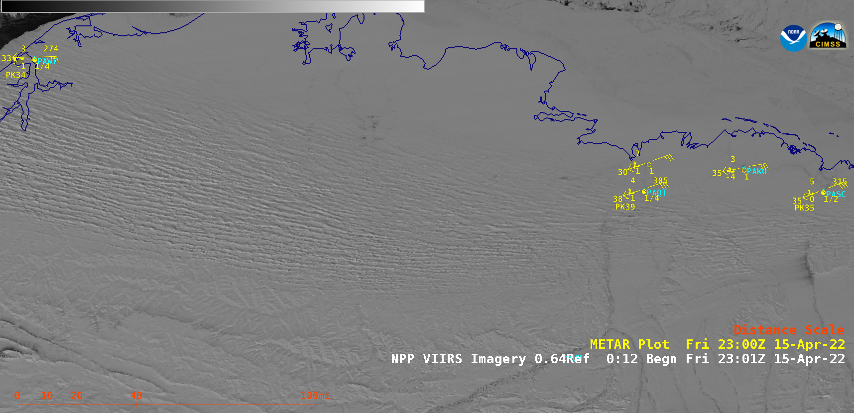
Suomi-NPP VIIRS Visible (0.64 µm) and Shortwave Infrared (3.74 µm) images [click to play animated GIF | MP4]
A sequence of Suomi-NPP VIIRS Visible (0.64 µm) and Shortwave Infrared (3.74 µm) images (above) revealed a long east-to-west oriented swath of horizontal convective roll (HCR) clouds associated with blowing snow and blizzard conditions across parts of the North Slope of Alaska on 15 April 2022. The plume of supercooled water droplet HCR clouds appeared warmer — lighter shades of cyan — due to enhanced reflection of incoming solar radiation At reporting sites within the northern portion of the HCR clouds and blowing snow, winds were gusting in the 35-40 knot range and the visibility was often 1/2 to 1/4 mile.
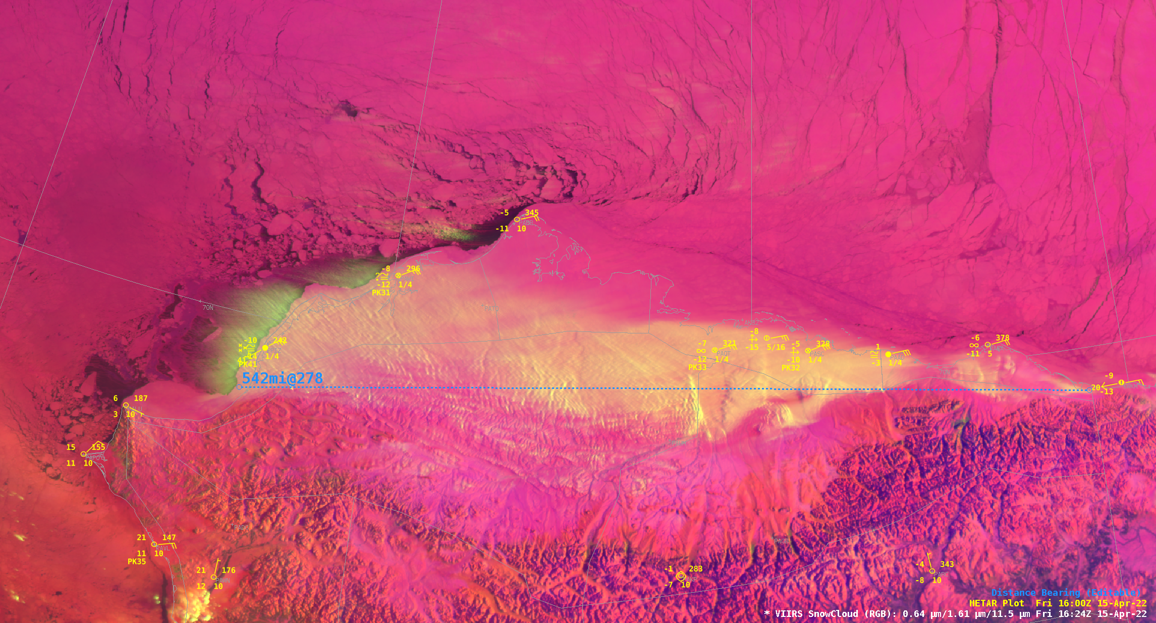
A Suomi-NPP VIIRS SnowCloud RGB image at 1624 UTC (below) showed that this plume of HCR cloud features — which was mixed with blowing snow — crossed the coast of northwestern Alaska and extended several miles westward across nearshore waters of the Chukchi Sea.

Suomi-NPP VIIRS SnowCloud RGB image at 1624 UTC (credit: Jason Ahsenmacher, NWS Fairbanks) [click to enlarge]
GOES-17 Near-Infrared Snow/Ice (1.61 µm) images created using Geo2Grid (below) showed how the HCR cloud plume evolved during the day.

GOES-17 Near-Infrared Snow/Ice (1.61 µm) images [click to play animated GIF | MP4]
Thanks to Jason Ahsenmacher, NWS Fairbanks, for bringing this interesting case to our attention!

